What Trespassing Pokémon Go Players Can Teach Us About Federal Security

In the summer of 2016, when augmented reality game Pokémon Go became an overnight sensation, people of all ages took to the streets to capture the cartoon creatures with their smartphones. The game, which relies on GPS, received praise for getting everyone out of the house. Yet it also presented some major safety concerns in communities all over the world, with public safety agencies warning residents to avoid dangerous areas and pay attention at crosswalks or near traffic.
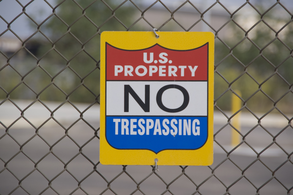
In fact, even military bases in the United States had to remind aspiring Pokémon trainers to pay attention to their surroundings. Joint Base Lewis-McChord near Tacoma, Washington, posted a warning to its Facebook page for residents, saying “DO NOT chase Pokémon into controlled or restricted areas, office buildings, or homes on base.”
“Gotta Catch” Safety Issues
A smartphone app may sound like a strange threat for the military, but when the unexpected occurs, federal agencies need all the resources they can gather to stay safe. They don’t just need to know who is on base, though. They need information about the houses, office buildings, training facilities, and other areas – including what is and isn’t restricted.
However, bases aren’t the only federal facilities that require heightened security measures, GIS data, and aerial imagery to support those safety efforts. Protecting the nation’s nearly 20,000-mile border is another priority for federal authorities. The U.S. shares more than 5,500 miles of border with Canada and nearly 2,000 with Mexico; the coastline spans 12,479 miles, more than half of which is in Alaska. While the U.S. employs a mix of fencing and border patrol agents, authorities may need information that lets them analyze the border’s effectiveness or view sections at a glance.
Even the nation’s dams and reservoirs present significant challenges for federal authorities. The federal government owns 3,225 dams in the U.S., or about 4% of the total 84,000 dams, with 694 more under the jurisdiction of the U.S. Army Corps of Engineers; the remainder are privately owned or controlled by state and local governments.
With an average age of 52 years, dams throughout the United States would cost an estimated $21 billion to repair, according to the 2013 American Society of Civil Engineers infrastructure report card. Most dams, especially those run by the states, also lack an adequate number of safety inspectors to ensure their structural integrity.
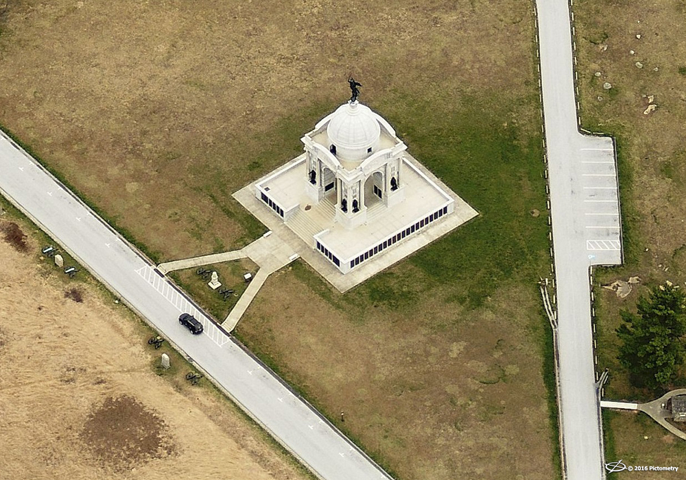
An example of an oblique aerial image taken in Gettsyburg, Pennsylvania.
Seeing What’s Really There
Naturally, safety inspectors and other federal authorities can’t be in several places at once. The nation’s vast borders, along with the number of military bases, dams, and reservoirs, require monitoring at all times. Just like Pokémon Go players looking for their next catch, agencies need to know everything they can about a location – even when they’re not on-site.
Geospatial imagery and data bring the site to the user. Satellite images tend to capture an orthogonal or top-down view only – usually lower-resolution, making details difficult to see. High-resolution ortho and oblique aerial images, however, can provide more detail and make object recognition easier.
Federal agencies, including the military, use Pictometry® ortho and oblique imagery from EagleView® to get a more natural view of buildings and better respond to emergencies. Each pixel is georeferenced, so users can better extract information from the images. Having regularly updated imagery is also crucial to the nation’s infrastructure, including dams and reservoirs, because it can show year-over-year changes or new vulnerabilities.
Using a combination of GIS data and aerial imagery, federal authorities have precise knowledge of land and facilities under their jurisdiction. This technology not only benefits day-to-day operations but is crucial in directing emergency response teams to incidents. After all, national security is no game, but geospatial technology is one of many solutions that federal agencies can depend on to be the very best at securing the nation.
Read more about what we do for federal government agencies and request more information about our solutions with the link at the top of the page.