Bring Field Imagery and LiDAR Insights to Your Desk
Actionable insights, for remote locations.
Proactively Manage Equipment and Gain Visibility into Critical Infrastructures
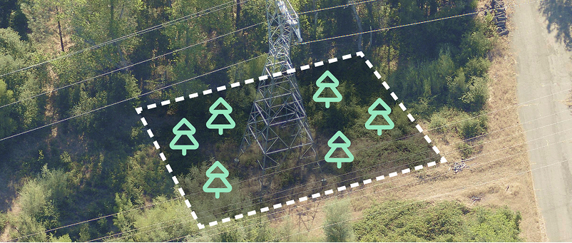
Proactive Vegetation & Risk Management
Manage compliance with accurate geospatial data and measurements, and pinpoint risk to act with confidence with TreeRisk™.
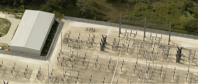
Better Asset Management
Make planning and maintenance decisions based on high resolution, multi-angle imagery with an unprecedented level of accuracy and detail.
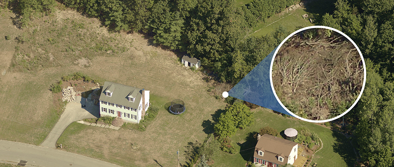
Wildfire Mitigation
Proactively identify and analyze risks and evaluate the best wildfire management strategy.
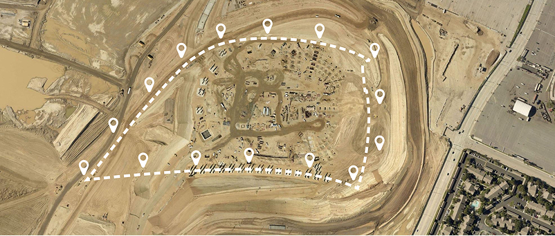
Plan and Design with Confidence
Eagleview’s clear imagery, data analysis and LiDAR mapping give a complete understanding of the land and topography when planning new projects.
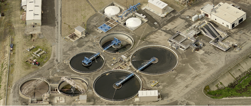
Optimize Field Operations
Perform mapping tasks from your office, so when you deploy teams to the field they can work as efficiently as possible.
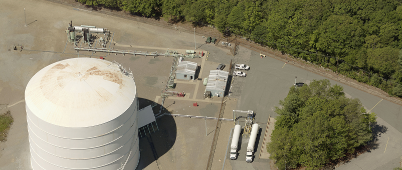
Aerial Patrol
Eagleview combines aerial imagery with advanced methane detection capabilities to help utilities improve situational awareness, identify potential risks earlier, and reduce field exposure.

Sharper than Satellite
Captured at 1-3” ground sample distance, Eagleview aerial imagery is up to 140x better than satellite. See more features in greater detail – including roof conditions, yard debris, landscaping quality, and more.

Solutions that Scale
Augment your appraisal process with high-resolution aerial imagery delivered to your desktop – available instantly – with 94% coverage for the US population.

AI-Driven Insights
With 125+ AI-extracted attributes per property, you can put data to work to help you analyze more properties faster and with less time onsite.

Enterprise HCA Solutions for Oil & Gas
High-resolution, georeferenced, orthogonal and oblique aerial images are captured and delivered with building outlines to serve as the foundation for a comprehensive integrity management system.
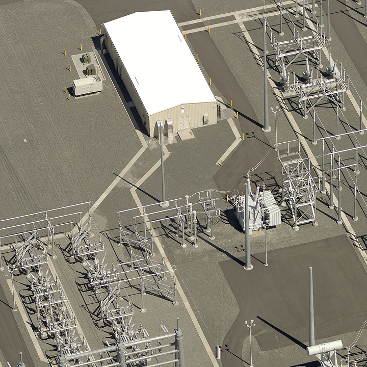
Why the Utilities Industry Trusts Eagleview
With purpose-built tools for your toughest challenges, utilities operators can proactively mitigate risk and work faster, safer, and smarter. Whether managing vegetation, mapping power lines or managing high consequence areas, Eagleview aerial imagery can help.
Mitigate risks and keep teams – and communities – safe
Ensure compliance and relevant regulations
Limit wildfire risks, with TreeRisk™
Optimize field time and reduce mitigation costs
Esri Gold Partner offering seamless integrations with Esri platforms, including ArcGIS Pro
“With Eagleview, we are able to verify which lines were connected to each other, and to which pole, without leaving the office.”
With industry-leading 1-inch GSD imagery that provides a 360-degree view of any infrastructure or corridor, you know you’re putting your resources where they matter most.