When the
GIS department of Benton County, Arkansas made the decision to purchase
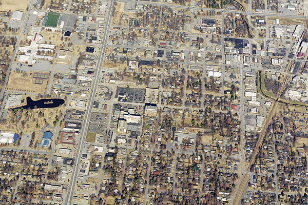
EagleView imagery (formerly Pictometry), fighting wildfires was the furthest thing from anyone’s mind. For the first few years, the county’s focus was strictly on traditional GIS applications such as parcel lines, addressing, mapping hydrants, etc. Soon the images and analytical tools were adopted by the
9-1-1 and sheriff departments, as well as by several cities in the county.
Across the county, savings in time, money and labor were being appreciated thanks to the advantages of EagleView’s oblique imagery. Just when they thought they had maximized the software’s application, a new opportunity made itself known: the National Fire Protection Association’s (NFPA) Firewise Communities/USA® Recognition Program.
Designed to encourage local solutions for safety by involving homeowners in taking individual responsibility for reducing the risk of damage to their homes from wildfires, counties achieving a Firewise designation are eligible to receive federal grant monies for
wildfire safety or fuel mitigation.
Recognizing the opportunity and the County’s risk of wildfires, County Ranger George Stowe-Rains with the Arkansas Forestry Commission of Benton County decided to pursue the Firewise Program. For Stowe-Rains and his colleagues, the biggest challenge was simply getting started.
In order to secure Firewise recognition, a community must first conduct a comprehensive assessment of its wildfire risk. To do this, Stowe-Rains and his team began conducting visual assessments of the properties and structures in the county.
Between the actual drive time to the structures and the walkaround assessment, each review took an average of 10-20 minutes. Given that the county had thousands of structures spread over 880 square miles, it became clear that the task was essentially unachievable using their chosen approach.
Not one to give up easily, Stowe-Rains and his team sought an alternate solution. Instead of viewing structures in person, they opted to try viewing them using EagleView imagery. It became abundantly clear that this was a much better option.
“Using
EagleView’s oblique images we were able to assess structures in about 20 seconds,” says Stowe-Rains. “Most, if not all, of the Firewise’s recommendations and criteria are visible and reviewable not from the field but in the office. Not only that, the Pictometry-based assessments were much more accurate than what the field crew had done. We ended up completing the project in six weeks using one employee. If we had stayed at it with a field crew driving out every day I have no doubt we’d still be at it.”
Beyond earning the County Firewise recognition and opening the door to potential grant monies, Stowe-Rains sees EagleView solutions benefitting the county in other ways.
“Given the accuracy and completeness of the images, I have no doubt that Pictometry will play a key role in future forest damage assessment,” says Stowe-Rains. “Whether it’s caused by fire or ice, Pictometry will provide the information and understanding that will allow us to respond quickly and appropriately.”