Eagleview Data
Imagery-Based Property Intelligence
Enhance apps, workflows, and decision-making with property data derived from high-resolution aerial imagery
Explore Data Packs
Property Intelligence On Demand
Purpose-built Data Packs contain the attributes you need to speed up estimates, inform decisions, and power apps.
| Data Pack | Benefits | Sample Data |
|---|---|---|
| Roof Area Estimate | Use 3D roof area calculations to engage prospective customers. | Download sample data |
| Roof Pitch & Eave Height | Assign the right resources for a roof inspection. | Download sample data |
| Property Condition & Details | Accurately value properties and refine collateral valuation models. | Download sample data |
| Roof Age | Assess the age of a roof based on historical imagery. | Download sample data |
| Roof Material & Condition | Know the covering type and the condition of a roof. | Download sample data |
| Risk & Vulnerability Scores | Understand a property’s risk related to wildfire and hail. | Download sample data |
| Building Outlines | Obtain 2D building footprints for GIS applications and modeling. | Download sample data |
| Summary Roof Condition Rating | Efficiently classify a property’s roof condition. | Download sample data |
| Summary Roof Material | Quickly distinguish the primary roof material of a property. | Download sample data |
| Summary Roof Solar Panel Presence | Determine whether solar panels are present on a structure’s roof. | Download sample data |
Confidence Backed by Data
Eagleview’s proprietary image library and AI-powered insights provide detailed, accurate property intelligence you can trust.

Trusted
Data extracted from our extensive ultra-high-resolution imagery library enables Eagleview to provide more detail and accuracy than other property data sources.
-
 Over 25 years in business
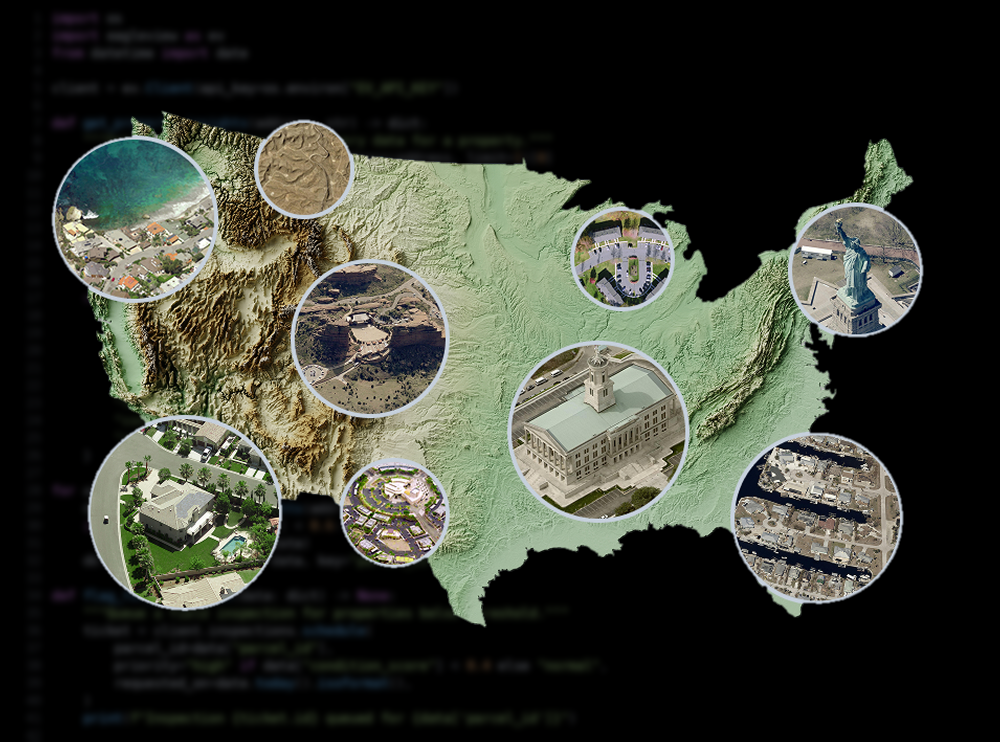
 60+ petabyte proprietary data library of over 3 billion images
 96%+ US population coverage; 65%+ Canada population coverage
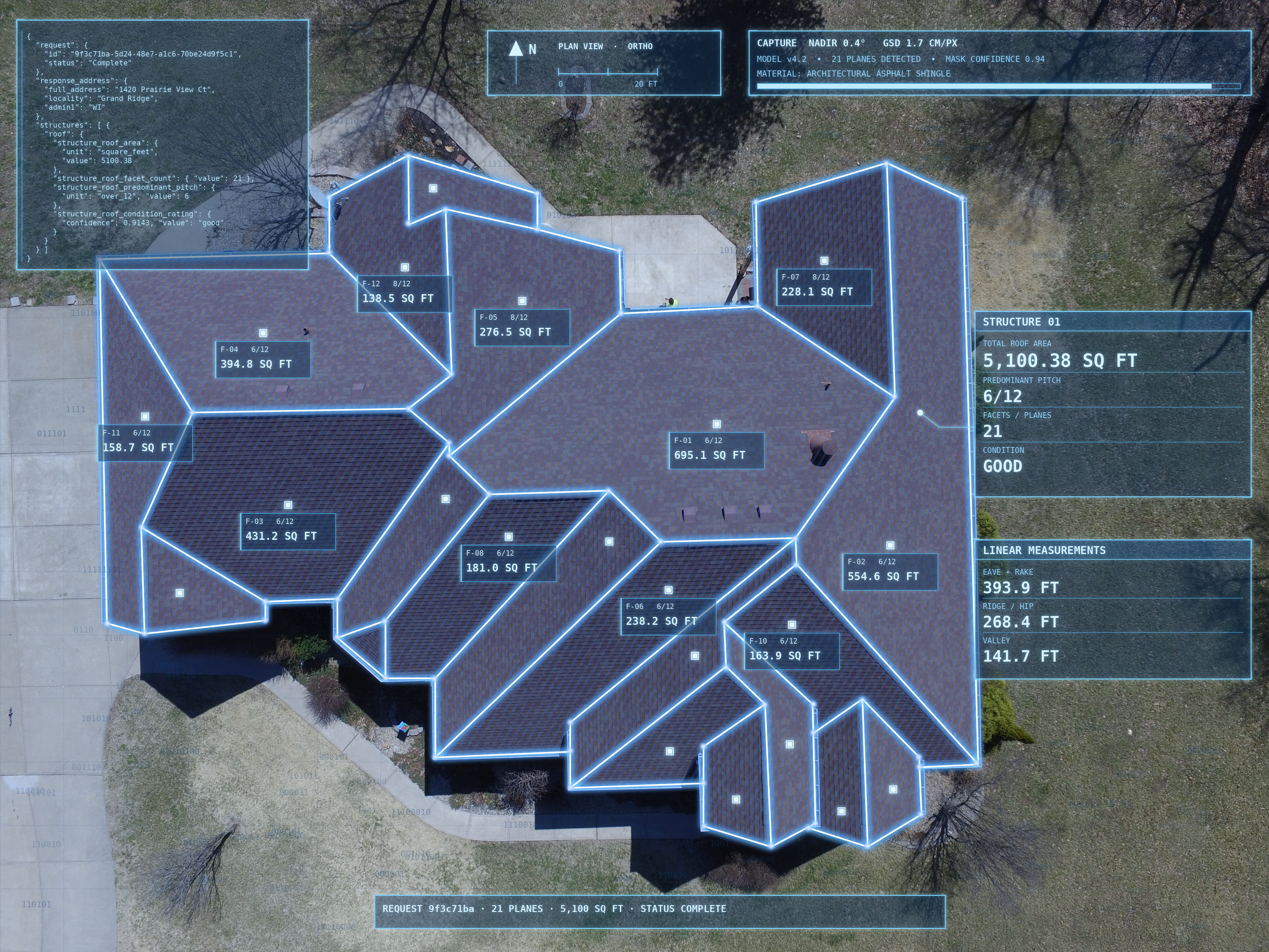
 Over 100 imagery-extracted attributes available
 337 patents issued, 72 pending
Turn Insight into Impact
High-quality visuals, seamless workflows, and broad coverage give you the tools to act with certainty at scale.

Actionable images and attributes
Rich imagery combined with reliable data to support more informed decisions.

Use case integration
APIs designed to embed geospatial intelligence across diverse applications.

Superior depth & coverage
Broader scope and finer detail ensure the confidence to drive outcomes with certainty.


