With more than 135 EagleView® imagery users spread across 14 departments, Minnehaha County GIS Coordinator Heidi Jerke manages data for the most populous county in South Dakota.
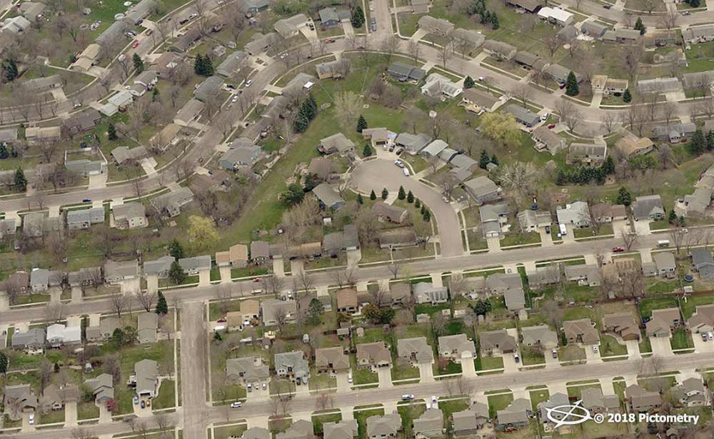
Minnehaha County has a population of around 185,000 spread out over 814 square miles and a total of 68,000 parcels. The county seat, Sioux Falls, is one of the fastest growing cities in the United States; between 2000 and 2016, it saw an estimated 29% population increase.
Jerke, who has been working for the county for more than 13 years, sits in the Planning & Zoning department. She supports all departments across the county, including her own and:
- Equalization (Assessor)
- Emergency Management
- Sheriff
- Metro 911
- Auditor
- Treasurer
- Information Technology
- Public Defender
- State’s Attorney
- Register of Deeds
Other officials, like the county commissioners, often rely on Jerke and her colleagues for information. Therefore, high-resolution aerial imagery and accurate property data were must-haves for the county’s many functions.
Struggling with a need for better data
Several years prior to working with EagleView
®, formerly known as Pictometry
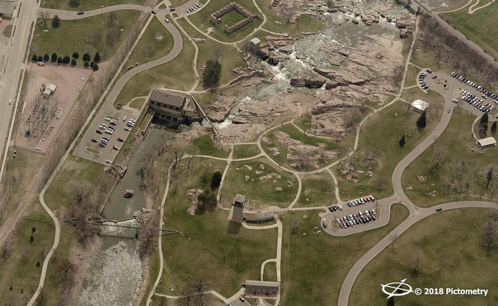
®, Jerke relied on orthogonal (top-down) imagery captured every six years.

Heidi Jerke, Minnehaha County GIS Coordinator
With the images serving purely a backdrop for
GIS layers, Jerke’s department and others in the county didn’t receive the level of detail needed to analyze and inspect properties and parcels. As a result, agencies still needed to conduct field visits in virtually all instances.
The City of Sioux Falls has its own offices, including a
Planning & Zoning department. Yet with 22,000 parcels outside of city limits, the rest of the county is far more spread out, making change exceedingly difficult to track.
That inefficiency meant time spent out in the field for officials. “We’re such a rural county that every site visit takes a couple of hours,” Jerke said.
Jerke knew that her county needed updated imagery. Having high-resolution aerial imagery would show necessary property details to departments across Minnehaha County, thus reducing the number of site inspections needed. This, in turn, would save departments time and money and reduce risk out in the field, starting with her own department.
Tackling planning & zoning challenges
Jerke and her colleagues use the imagery to make appropriate zoning changes, including re-platting properties, determining driveway placement, and enforcing codes.
“Code enforcement uses the imagery as a comparison tool to see if different land has been a nuisance with a lot of junk or vehicles or dilapidated buildings,” Jerke said. “With imagery, we can see if it’s been cleaned up over time.”
Residents often come to Jerke’s offices to file complaints if there are tile drainage issues on nearby agricultural fields. Tile drainage can remove excess water from soil below the surface. When working improperly, however, property owners downstream may notice excess water in their own yards or fields.
“Downstream owners usually are the ones to complain depending on how the fields are draining,” Jerke said.
EagleView imagery, helps her department address these concerns more quickly. “We can tell from the imagery and see the drainage lines to tell where the water is pooling.”
Using imagery across county departments
The switch to
EagleView imagery from low-resolution orthos has sped up the flow of information across the entire county. The difference is clear when county officials and residents need information.
Each department uses imagery and data solutions from EagleView for distinct purposes:
- The Equalization Office assesses all properties throughout the entire county using EagleView imagery and the recently implemented ChangeFinder™ solution.
- Public safety agencies in Minnehaha County rely on imagery and data to size up a location before they respond to emergencies.
- The county building inspector saves a considerable amount of time with imagery from EagleView, using it to ensure permits have been pulled. He also leverages measuring tools built into CONNECTExplorer™ to ensure property details line up as they should.
- The Planning & Zoning department can review nuisance complaints and related violations without traveling to a property and facing an uncooperative property owner.
The building inspector and other departments are also embracing the ability to take the imagery with them wherever they go.
“Our building inspector just started using
CONNECTMobile™,” Jerke explained. “He can look up any location and see our own GIS layers overlaid on the imagery. He can easily see what’s next door while he’s out in the field and can plan his day that way.”
Gaining priceless knowledge and a better workflow
The county has seen a ripple effect of benefits by using EagleView imagery. Staff members don’t need to perform as many field visits, which saves them time in their day-to-day schedules and saves the county money on fuel expenses.
When officials needed a quick map of the county properties for sale, imagery and CONNECTExplorer made the task simple. “Sometimes they ask for different information,” Jerke said, “and when we can show them what they’re asking, they are wowed by it. They’re amazed at the quality and what you can actually see with EagleView imagery.”
Even community members can receive answers thanks to the public mapping viewer with the Integrated Pictometry Application, which gets a lot of use. The knowledge departments and residents receive from the imagery, Jerke said, is invaluable because they can view what’s on the ground in seconds.
“What you see is what you can believe,” she said. “Just having that tool where you can actually measure something and see what’s there is priceless. It answers a lot of questions.”