With one-third of the world’s land categorized as agricultural, assessors face obstacles when
reviewing and assessing rural areas. Many communities in Indiana, which are largely agricultural, create challenges for assessors who need to track changes and new constructions in their counties.
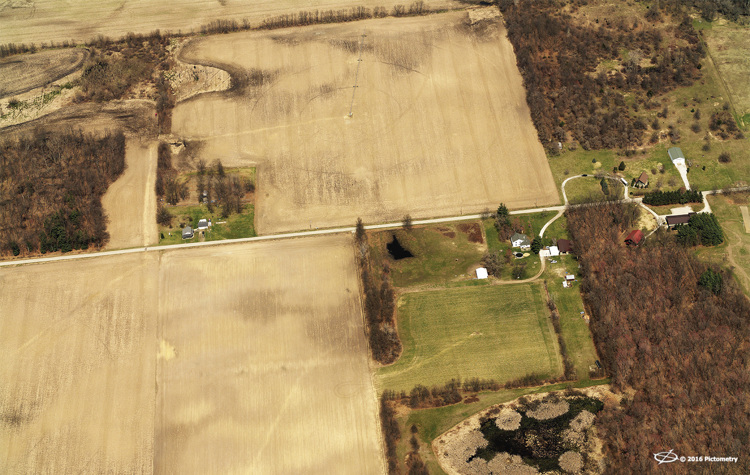
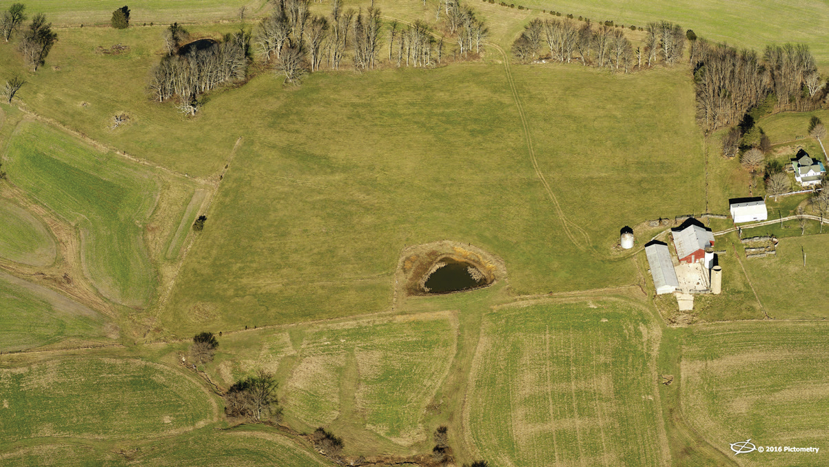
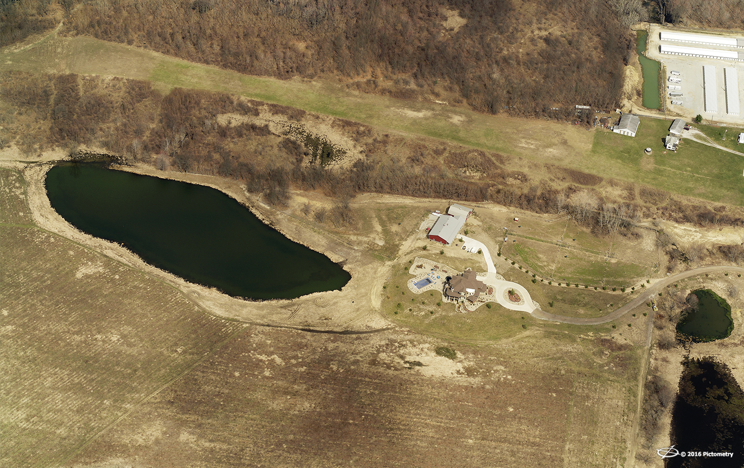
Marshall County, Indiana
“Rural areas offer a unique challenge in terms of assessing and gathering data,” commented Robert Locke, Senior Vice President of Government Sales at EagleView. “We are focused on providing imagery and data to meet every jurisdiction’s need. There are extremely different assessment challenges when comparing urban areas to rural areas, but that is where aerial imagery and change detection data can make a real difference.”
EagleView
® (formerly known as Pictometry
®) works with counties to not only provide aerial imagery but to deliver important software, data, and GIS support to make that imagery valuable on multiple levels. Whether for assessment, public safety, land use, or tourism, counties are finding a wealth of knowledge and data by utilizing
EagleView's imagery.
Finding change by tracking new constructions
Washington County, Indiana, is one such county. This 517-square-mile region has a population of over 28,000 and has continually commissioned aerial flights along with change detection analysis and data. EagleView imagery has been critical for Washington County due to its large number of farms. Assessment professionals use ChangeFinder™ data to confirm construction projects being completed without proper permits in remote agricultural areas.
Washington County, Indiana
“The undocumented buildings were a liability for the assessment office but also of great concern to public safety and other county departments,” stated Jason Cockerill, Washington County Assessor. “EagleView technology is critical to our county in discovering unreported value and undocumented structures.”
Property owners who don’t file construction permits for new buildings or expansions typically do so to avoid paying higher taxes. Yet for assessors to conduct fair and equitable assessments on all properties in the region, they need to know if anything has changed for each parcel of land.
“We have large segments of specialized agriculture,” Cockerill continued. “We had to incorporate additional review systems since many times permits are not pulled for new construction.”

Jason Cockerill, Washington County Assessor
Cockerill noted that it is not only an assessment issue but a public safety concern. If the county is not aware of additional structures, it can affect public safety officials, including those in fire safety, crime, and disaster response.
“We believe that the aerial imagery and ChangeFinder data are essential in staying current to the construction and remodeling that is happening throughout the county,” Cockerill said.
Easier assessments with ChangeFinder data
At least one other rural county in Indiana is following Washington County’s footsteps in the hopes of becoming an Agent of Change. Located in the north central portion of the state and with a population of just over 47,000, Marshall County is known for its large expanses of agricultural land. The county is also as a haven for tourists, with its motto being “Time to Unwind.”
The county seat is in Plymouth, Indiana, where Marshall County assessor Debra Dunning is located. Dunning has incorporated aerial imagery as a foundational tool for fair and equitable property assessment.
Recently, a new zoning law caused a rush of farmers to build poultry barns before the new zoning laws could take effect. The Indiana Department of Environmental Management (IDEM), whose mission is to implement federal and state regulations to protect human health and the environment, had enacted new livestock laws that included the need for upgraded poultry barns.
“It was an important environmental movement for the state, but the new poultry barns were only required to have IDEM permits,” noted Dunning. “We had no way of getting the permit information, so we needed to find out where the new barns were being built in order to have accurate representation of properties in the county.”
Marshall County, Indiana
ChangeFinder data analysis has made this task easier for Dunning and her department.
“We were able to receive a list of properties that had changed and then visually review them using CONNECTExplorer™,” Dunning said. “We could make fair assessments, but, more importantly, we captured a realistic analysis of new structures, creating a strong map and historic view of our county. We were able to use that for several purposes, including public safety and land use planning.”