 Leading property analytics provider flying damaged areas to aid in storm response
Bothell, WA (September 18, 2018)
Leading property analytics provider flying damaged areas to aid in storm response
Bothell, WA (September 18, 2018) — Eagle View Technologies (“EagleView®”), the leading provider of aerial imagery and property data analytics for the government, insurance and commercial sectors, has started capturing ultra-high-resolution
Reveal™ imagery of the areas affected by Hurricane Florence with its fixed-wing aircraft. With post-event imagery, insurance carriers can close claims rapidly despite high post-storm volumes, and local government agencies can quickly provide aid to those impacted.
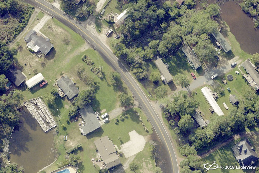
With its
pre-staged CAT response fleet, EagleView was able to access the airspace of the affected regions beginning with Dare County, NC, the home of the first Wright brothers’ Kitty Hawk flight. Customers of EagleView will have access to pre- and post-storm imagery as quickly as 24 hours following capture on the imagery platform
CONNECTExplorer™,allowing for a complete understanding of the damage caused by the hurricane.
“As a company, our first mission is to make certain we are responding to our customers’ needs as quickly as possible,” stated EagleView COO Jay Martin. “To do this, we strategically stage our aircraft so that we’re prepared to take flight immediately once granted airspace access in order to support our customers.”
As the weather continues to improve, EagleView will continue to capture the entire affected region with the CAT response fleet. By combining multiple imagery sources, plus recently captured pre-storm imagery, customers will have a comprehensive birds-eye view of the damage on the ground.
“Our ultra-high-resolution aerial imagery is one of the many tools used to help communities get back on track following a catastrophic event,” said Rishi Daga, EagleView CEO. “By flying and capturing post-event imagery as soon as we can, EagleView is able to provide the support needed by emergency management, claims adjusters and others to get the victims back into their homes sooner.”
EagleView is currently processing the first image capture, which will be available to customers in the next 12-24 hours.
For more information about EagleView’s post-event capture process and machine learning capabilities following Hurricane Florence, please contact Melissa Mazurek at
melissa.mazurek@eagleview.com or (585) 444-2504.
About EagleView
EagleView is the leading provider of high-resolution aerial imagery, property data analytics and structural measurements for government agencies, insurance carriers, roofing contractors and energy utilities. Using patented image capture techniques, 3D aerial measurement software and machine learning processes, EagleView helps customers answer questions related to millions of properties throughout the world. With a 60-petabyte library of oblique and orthogonal Pictometry® aerial imagery dating back to 2001 and the capacity to process tens of thousands of roof measurement reports per day, EagleView enables organizations to reduce field visits and adopt faster, safer and more cost-effective workflows. For more information, contact (866) 659-8439 or visit
www.eagleview.com.
###