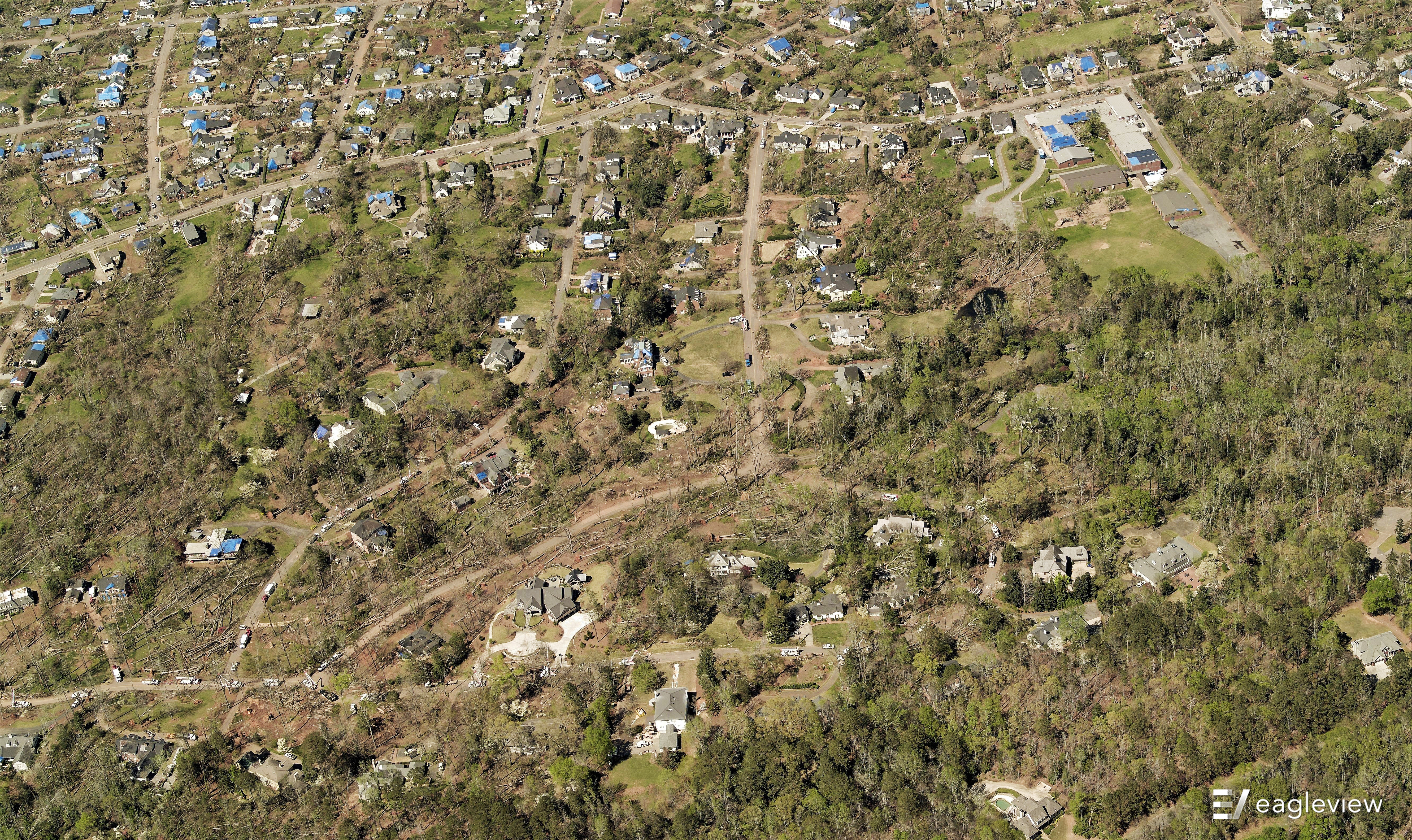
During the early morning hours of Friday, March 26, a category EF-4 tornado ripped through the Newnan, Georgia, area. The storm took down trees and power lines and damaged houses and other structures in the area, including the Newnan High School.
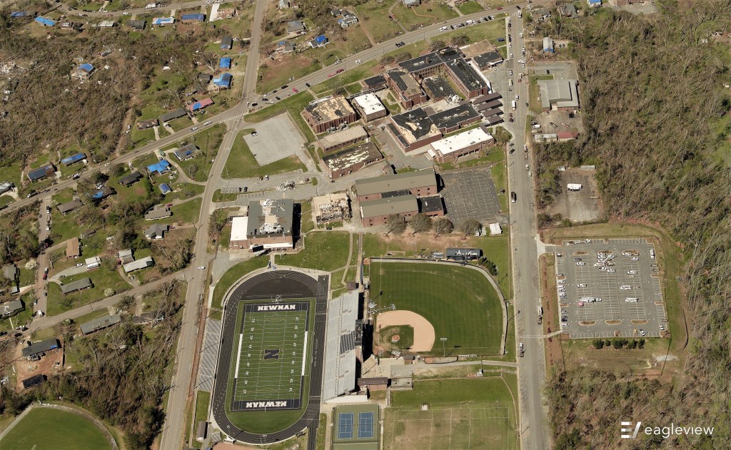 The aftermath of the tornado on Newnan High School
To assist in the recovery efforts, EagleView sprang into action to begin capturing imagery for emergency response planning.
EagleView is providing these images to local governments and municipalities in Coweta County, Georgia, free of charge in order to support recovery operations. EagleView will also make this imagery available to insurance customers to assist in the claims settling process, and roofing contractors for post-event restoration jobs.
Check out some of the initial detected damage below.
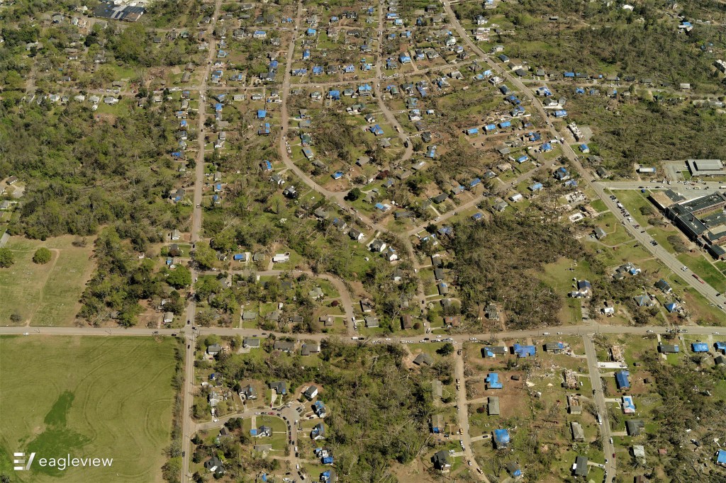 Blue tarps indicate damaged roofs
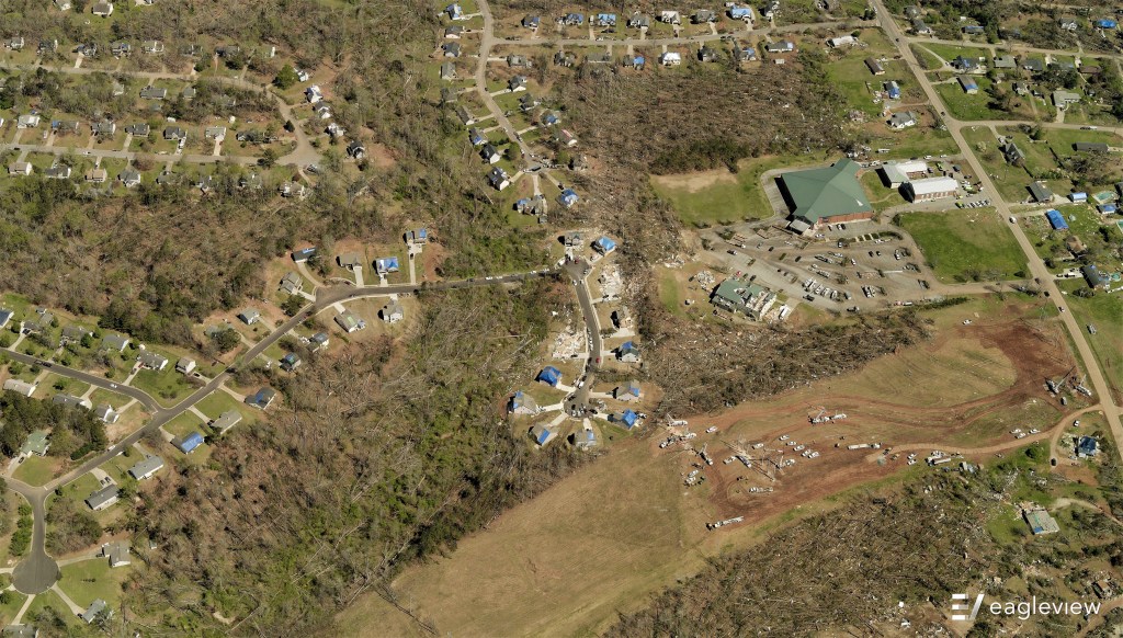
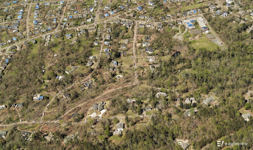
In response to the deadly and devastating tornadoes in Georgia, our fixed-wing aircraft was deployed to capture high-resolution imagery of the tornado’s devastating path. Overnight, images were sent to be processed, and the first look at the damage provided crucial information to aid recovery efforts within 27 hours of responding to the event.
Gathering post-event imagery as soon as possible is critical for multiple reasons. Homeowners and insurers can complete the claims process more efficiently and with greater accuracy, and contractors can begin repairs with high-resolution imagery to guide them. In addition, our images help first responders and emergency efforts by providing responders with the most recent view from the sky.
Our thoughts go out to those impacted by last week’s tornadoes and we hope the post-event imagery will play a small part in helping the affected begin to return to normalcy.