EagleView Technologies continues to support government organizations in their efforts during times of social distancing.
EagleView is offering free access to EagleView’s virtual desktop application, CONNECTExplorer, to enable government departments to perform field-based inspection and validation tasks from their homes.
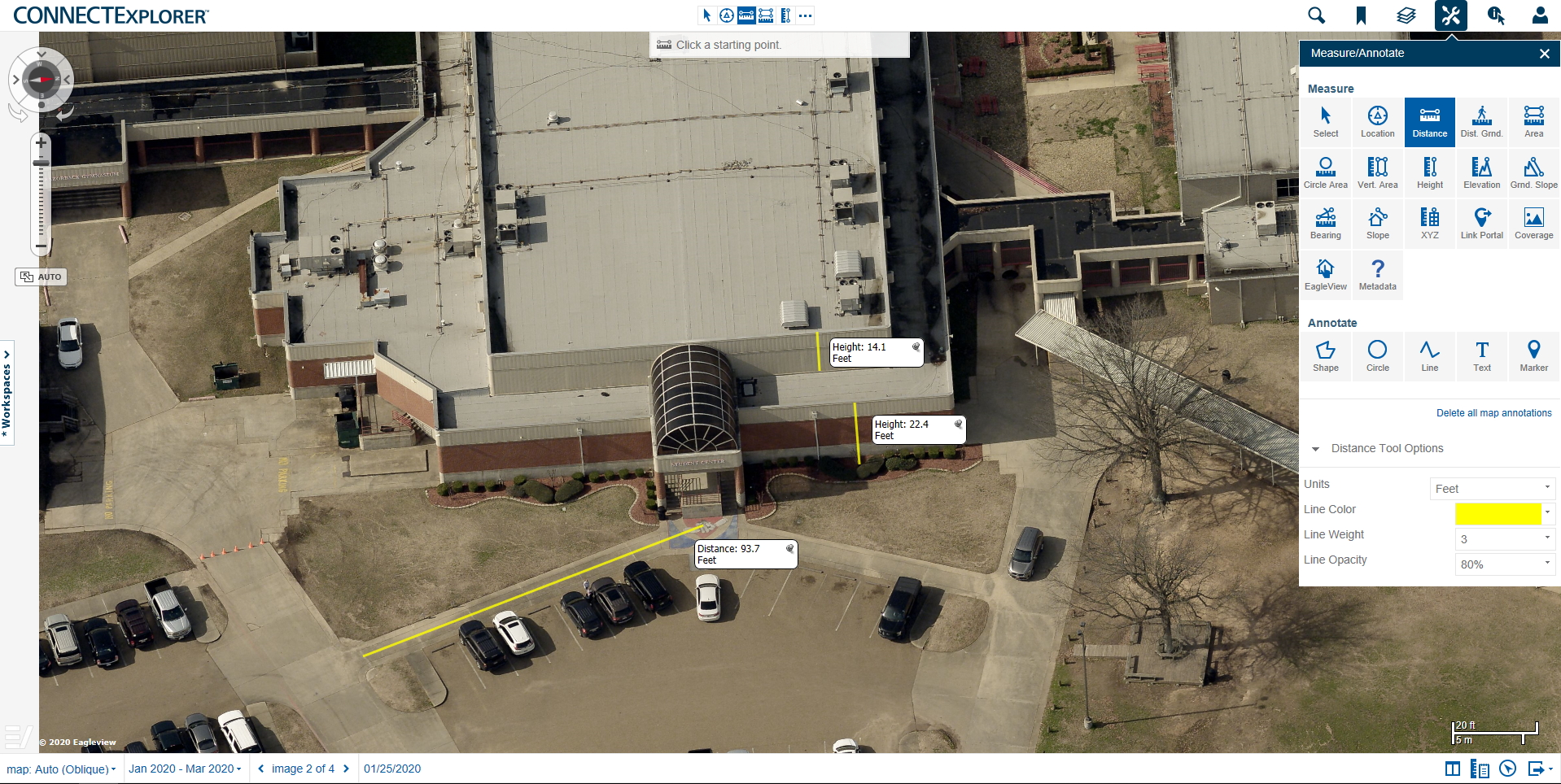
CONNECTExplorer offers access to actionable, high-quality oblique and orthogonal imagery for detailed information when it counts. From the desktop, public safety professionals can feed current and accurate information to first responders in the field.
With CONNECTExplorer, users can:
- Quickly and accurately search locations
- Perform virtual inspection, evaluation and analysis
- Extract measurements from high-resolution imagery of a property or other location
- Access high-resolution Pictometry® aerial imagery and GIS data in a secure, web-based solution
- Integrate aerial imagery into Esri ArcGIS Pro
To ensure public safety, accurate and timely information is critical in emergency situations. The ability to access key details about a location prior to arrival is crucial to ensuring the most positive outcome.
Inquiries on accessing this valuable content can be directed to https://www.eagleview.com/contact-us/.