American City & County highlighted technological solutions for geographic information systems by talking to Robert Locke, Senior Vice President of Government Solutions at EagleView.

Robert Locke, SVP of Government Solutions at EagleView
In the interview, Robert discusses some of the most recent innovations in aerial imagery, machine learning, and other tech for government agencies. Robert also sheds light on the misunderstandings that many agencies have about using high-resolution aerial imagery and explains key features that government personnel should look for in such solutions.
Government Product News (GPN): What are some new innovations that have been integrated into your industry’s products recently?
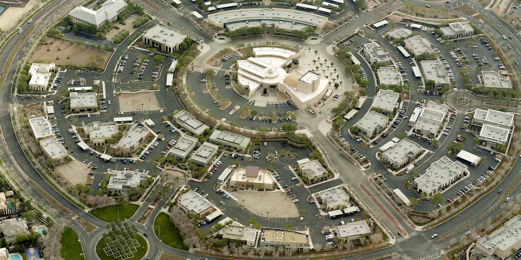
Robert Locke (RL): We’re continually seeing higher resolution imagery being integrated into the market. The higher the resolution, the more detail you’re able to see from each image. For Geographic information systems (GIS) managers, assessors valuing properties, or public safety personnel planning for or responding to incidents, higher resolution provides a greater sense of confidence in decision making. Imagery taken from an airplane usually provides much greater detail than imagery captured from a satellite.
As we’ve seen in many industries, machine learning has made its way into the aerial imaging market as well. From recognizing damaged buildings after a weather event to finding an unreported shed in a backyard that wasn’t there the year prior, machine learning is helping government agencies create more intelligent and efficient workflows.
Read the rest of the interview on the American City and County website.