Mohave County, Arizona, recently implemented Pictometry
® imagery from EagleView in its assessment office. County Assessor Jeanne Kentch wrote about the solution, as well as other updates for her department, for the Kingman Daily Miner.

Mohave County, AZ, Assessor Jeanne Kentch
I am proud to announce the success of our newly implemented “Pictometry” assessment tool. It has been a long road (two years), but our department is excited to finally use and implement this new cost-effective software for assessing property in Mohave County.
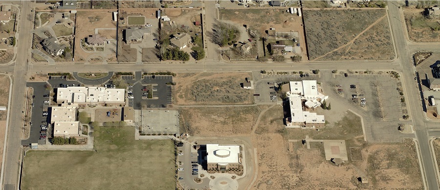
Pictometry provides aerial imagery, but goes way beyond just aerial imagery, it is so enhanced it can locate outbuildings and other structures that should be on the county tax rolls. It is high-resolution, low-altitude, oblique imagery. This means it can view all four sides of a property.
The imagery is used to measure structures and determine square footage. Pictometry creates a 3-D image that can measure elevations, heights, distances and more. Pictometry is largely a verification tool that enables our appraisers to work from the comfort of their desk for much of their discovery, saving wear and tear on the vehicles and becoming more efficient with appraisals.
Read more about Jeanne's department on the Kingman Daily Miner. Welcome to the EagleView family, Mohave County!