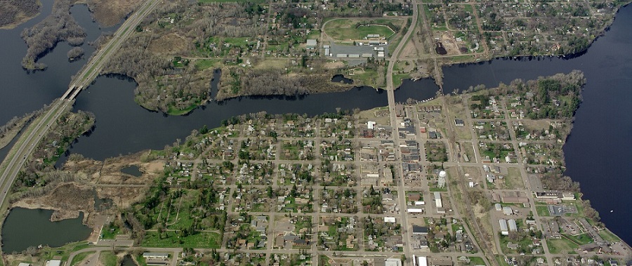
Leaders in Pine County, Minnesota, have approved the use of Pictometry® aerial imagery from EagleView for 2018.
The county last used Pictometry imagery in 2011. Although the county had imagery from the state, it did not meet quality standards for spotting change.
Satellite imagery also could not provide the level of detail the county needed. One county chairman said that he found satellite images to be off by as much as a quarter of a mile during his career in law enforcement. In Minnesota, 70 of 87 counties use Pictometry imagery and typically refresh it once every three years.
Kelly Schroeder, Pine County’s Assessor/Solid Waste and Zoning Administrator, asked commissioners to approve new aerial photography at last week’s regular board meeting.
The county uses aerial photos on its QXO website. These photos are used by the assessor’s office to record property taxes and ownership, and the site is used by attorneys, title companies and surveyors. Real estate agents also use it for property descriptions and location...