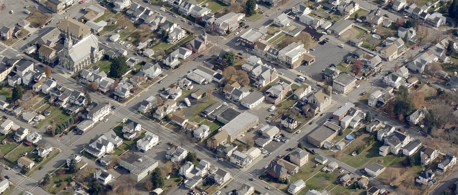
Carbon County, Pennsylvania, commissioners have approved the use of
Pictometry® imagery from EagleView. The move will help property assessors add property to the tax rolls.
The imagery for 2018 will enable assessors to compare imagery from 10 years ago--the last time they received a flyover--in order to spot decks, sheds, garages, and other new structures that may not be listed on the tax roll.
The new imagery will also give 911 personnel a way to relay information to law enforcement, firefighters, ambulance crews, and emergency management teams.
[County Commissioner Wayne] Nothstein pointed to a situation that law enforcement had in Lansford, where a man barricaded himself inside his home. Police could have used this technology to see where all the entry points were on that home, he said.
[GIS director Jason] Shellhammer said 911 dispatchers will be able to view these images and relay the information to emergency personnel.
“It’s going to be a great tool,” Nothstein said.
Read more about Carbon County's upcoming use of Pictometry imagery on the Standard-Speaker.