These days, everything is “smart.” Smart phones, smart watches, smart cars, smart homes, and smart appliances connected to the Internet of Things all shape our daily lives. Over the past 10 years, however, the “smart” trend has centered on the “grid,” or the nation’s electric infrastructure. Utilities today rely on smart grids to make the delivery and measurement of electricity more efficient.
In 2007, the U.S. government passed the Energy Independence and Security Act. The Act defined smart grids through 10 different characteristics, ranging from the grid’s use of digital information and automation to energy storage and cyber-security.
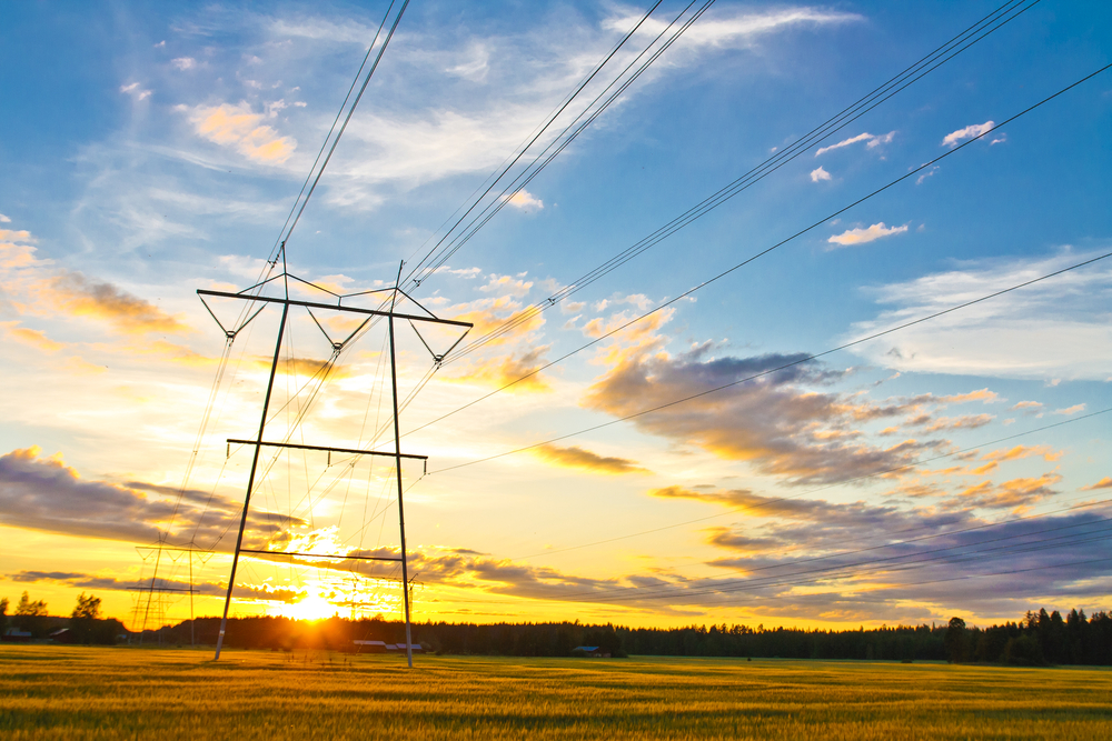
What Are Smart Grids?
What makes the grid “smart”? This new electrical infrastructure uses sensors, real-time communications, and remote equipment to manage electrical utilities from a distance all while improving efficiency. Properties on these smart grids are equipped with smart meters, which are digital as opposed to their older, analog counterparts. Because the meters can record electrical usage in real time, they virtually eliminate the need for in-person meter readings and more easily automate the electric utility billing process.
Why are these systems so in-demand right now? For one, the automation they provide saves companies and consumers money and makes for more accurate records of energy usage. Like other industries, power companies are relying more on technology to make everyday procedures and data collection simpler. The energy sector is embracing renewable energy, allowing smart grids to connect to solar plants, wind farms, and hydroelectric stations.
As more electric power providers switch to smart grid technology, they can turn to
aerial intelligence and geographic information systems (GIS) data to perform upgrades and better monitor these new grids. These solutions serve utilities as they mitigate power outages for current customers and plan for expansion to meet increased demand.
Handling Outages
A power outage can take hours or even days to fix in some areas, especially if the power company can’t locate the source fast enough. One of the advantages of the smart grid, however, is that it can quickly identify the source of an outage and begin the repair process from a remote location.
Traditional power lines only transmit one way – that is, sending electricity from a central source to residential and commercial properties. With smart grids, sensors along power lines monitor usage and transport data to property owners and utility providers alike. These sensors let utilities know where an issue may exist and allow for some remote repairs. However, the need to send a crew out still exists.
Power companies can speed up the repairs process, however, by viewing aerial imagery first. This helps them identify areas in need of repair and nearby objects that may pose challenges. By using a combination of GIS data and aerial imagery, utility workers can track the sensors and other resources that they rely on and know exactly where an issue may have occurred.
Planning for Expansion
The electric utilities sector already relies on aerial imagery and data for planning and maintenance. Corridor image captures gives utility companies an aerial view of power lines and other facilities. With wide-area image capture, utilities can get a bird’s eye view of a region and plan for expansion.
New systems, however, have to meet increasing energy demands and growing populations in and around major population centers. This requires up-to-date information on land use to best plan a new corridor. Planning for a new corridor or other utilities expansion involves multiple factors. Therefore, workers may need to make multiple field visits to high-risk areas.
However, many of these problems can be solved with aerial imagery. Orthogonal aerial images gives a top-down view of an area, and oblique aerial imagery allows for improved object recognition. Georeferenced oblique images, viewable from all four directions, give insight into elevation changes, vegetation cover, populated areas, and other details about the terrain to make planning a smoother process.
Utilities can also use GIS to plot out the locations of sensors for smart grids. Incorporated with aerial imagery, this information can be viewed on one system instead of multiple maps and resources.
What does EagleView do to make electric and utilities infrastructure smarter? Check out two of our case studies to see how our aerial imagery and data served a new corridor project and aided in pipeline management.