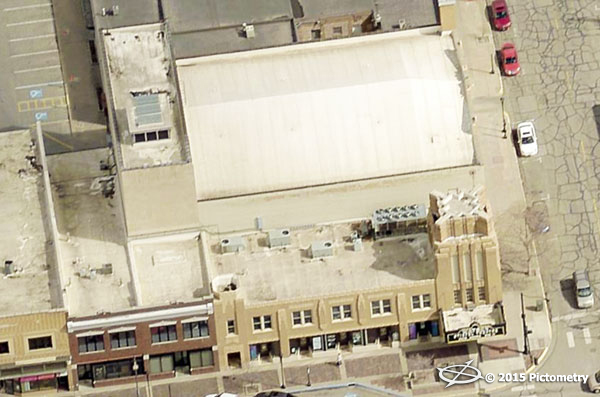
Stiefel Theater for the Performing Arts
With the addition of Pictometry high-resolution, orthogonal and oblique imagery, Saline County, Kansas is finding benefits across the jurisdiction. The
Salina Journal reports that "the availability of three-dimensional aerial photos of Saline County has opened up a wide range of possibilities for Salina and Saline County officials."
If Salina law enforcement officers were to receive a call about a gun-wielding suspect in a building, they’d be able to use new technology to survey the location while en route.
In the case of a burning building, firefighters would be able to locate gas lines, fire hydrants, doors and windows from the fire truck.
The availability of three-dimensional aerial photos of Saline County has opened up a wide range of possibilities for Salina and Saline County officials.
Firefighters, law enforcement, emergency management officials and appraisers have been using photos provided through the Geographic Information System for more than 10 years. But the new three-dimensional photos provided by Pictometry, a New York company, went online in September, and county officials said they are just now learning how they can be used.
Saline County Commissioners John Price and Jim Gile worked with GIS coordinator Judy Palenske and technician Drew Bean in calculating the population of different areas as they reconfigured county commission districts recently, expanding the number of districts from three to five. Saline County voters approved the change in the Nov. 4 election.
Read the full article here.