High-Resolution Aerial Imagery for Basemaps and Project Planning
View what you need to see remotely – before you put boots on the ground.
Put Your Imagery and Data to Work. Plan with Confidence.
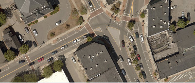
Highest Resolution
Any output is only as good as the data you put into it. Clarity counts and instills confidence – from basemap, to proposal.
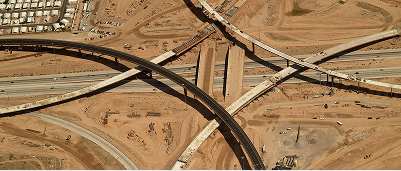
Geospatial Accuracy
Geospatial accuracy is critical to develop informed designs and properly execute projects, impressing customers at every step.
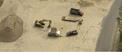
Time Savings
Manual site visits and visual data validation take your most precious resource: time.

Industry-Leading GSD
Use aerial imagery with 5 cm or better ground sample distance as your basemap to see important site details clearly – up to 140x better than standard satellite imagery.

Highest Accuracy
Capture accurate distance, height, and area measurements on geospatially referenced imagery – within inches of survey-grade accuracy.

360-Degree Views
Get a 360-degree view with both orthogonal (top-down) and oblique (side-angled) views.

Recent Captures
Thanks to a regular refresh cycle and annual captures, you’ll always have access to current site conditions without the use of drones.

Why AEC Firms Choose Eagleview
No matter the size of your firm, Eagleview’s extensive aerial imagery database and capture recency results in detailed site analyses before setting boots on the ground. AEC firms using Eagelview imagery know: the best imagery helps you put your best foot forward, with confidence.
Save hours on every project
Expedite workflows with integrations in CAD and Esri
Esri Gold Partner
Make better decisions, with better data
Confidently grow your business
“When we put Eagleview's orthomosaic imagery next to a survey, it's spot on. The accuracy is honestly unbelievable, especially compared to competitors."
For Architecture, Engineering and Construction firms, Eagleview sets the industry standard in aerial imagery that empowers teams to work faster, safer, and smarter.