https://youtu.be/R7kuVQY_Yfs
Government agencies rely on aerial imagery to verify assets and reveal details of critical structures—without the need for a field visit.
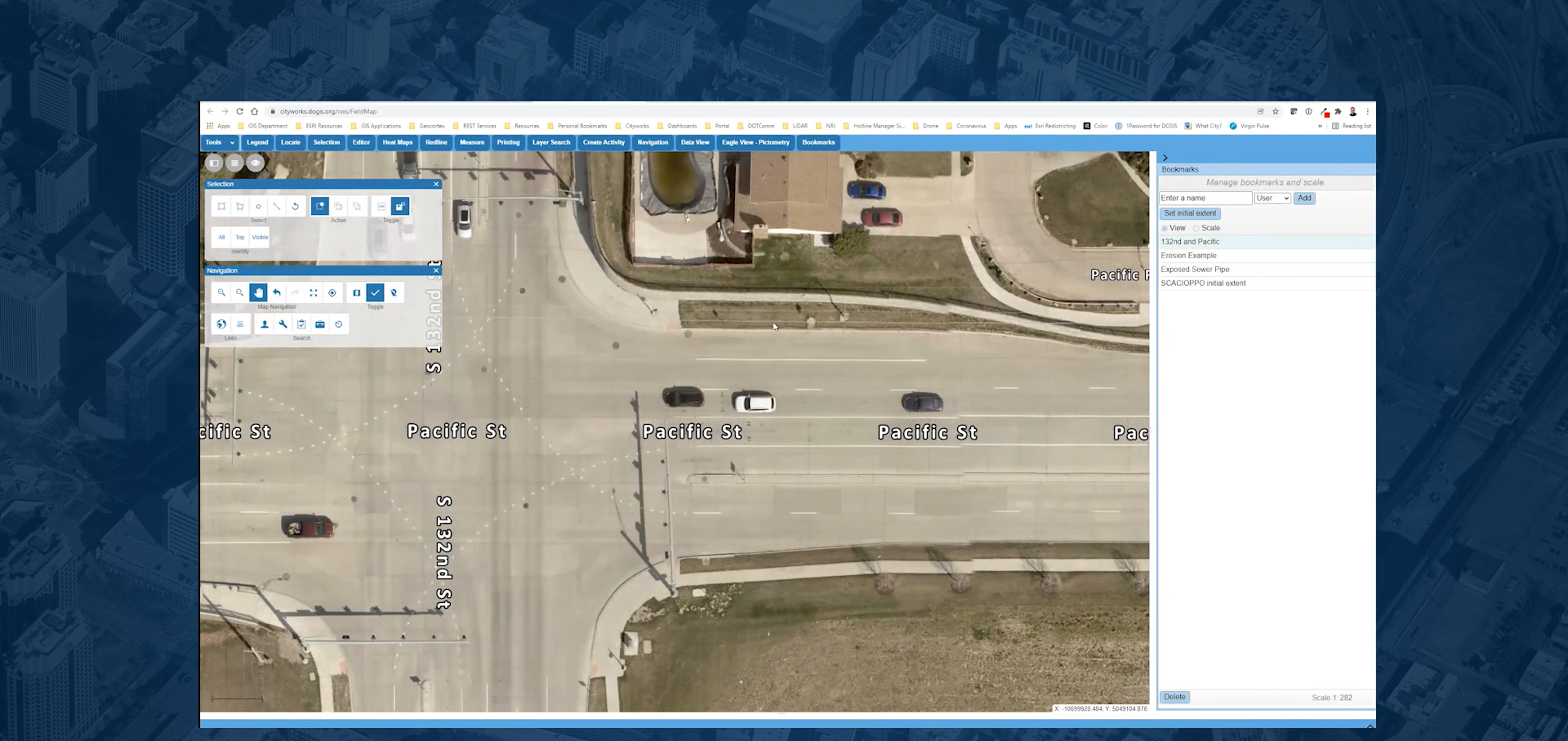
To help make this process even more efficient, Cityworks users in the US and Canada can now view and access their high-resolution EagleView imagery from within the Cityworks Esri map viewer.
This enables them to:
- Increase productivity and eliminate the need to switch between multiple applications
- Remotely identify and measure roads, bridges, and other key infrastructure
- Collaborate within one environment with other local government departments
Douglas County, NE and the city of Omaha have been using Cityworks across 14 departments for about 15 years. Steve Cacioppo, Senior GIS Analyst for Douglas County, recently shared why the GIS department chose to set up the EagleView/Cityworks integration for their users.
Q: Why did your team decide to enable the EagleView integration with Cityworks?
A: Our GIS department is always looking for ways to increase productivity. I think it's very convenient for the departments we serve to have EagleView as part of the Cityworks map. It allows the end user to not have to open another tab. More importantly, they don't have to remember another username and password.
Q: What was required to set up the integration?
A: The setup was really easy. The documentation was only a handful of pages. There were some files that we had to download and copy over to our server, and then we just had to add our parameters. I think anybody who has a basic understanding of server administration and IAS should be able to have the solution up and running within 30 to 60 minutes.
Q: How does this integration help your county day-to-day?
A: Asset identification with the oblique imagery is probably our top use for this. I know our Parks department uses that in some of the forested areas to locate different paths or pavement areas. Our Sewer division will use it to help them find manholes or aerial crossings over various streams. Our Traffic division uses it a lot—it's very difficult to see signs from an ortho photo. But oblique makes it a lot easier to identify those assets out in the field.
And all of those departments really like that we have the measurement tools right there in EagleView and Cityworks. We can do the height measurements, the elevations, and aerial measurements.
Want to learn more about how the Cityworks & EagleView integration can help your government agency? Watch the on-demand Cityworks webinar.