Put your eyes to the test!
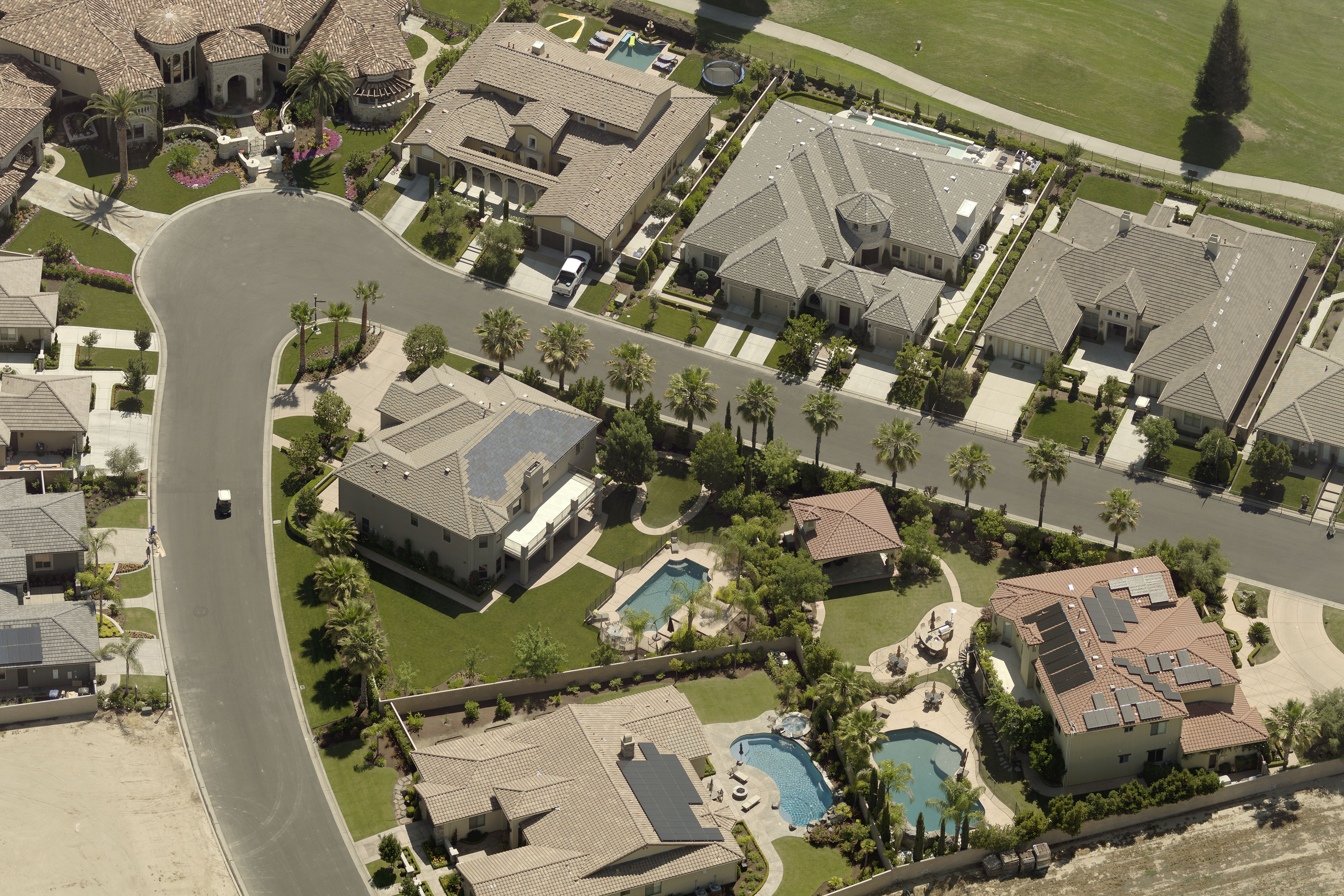
There’s a common misconception among users of aerial imagery, such as local tax assessors and roofing contractors, that an orthogonal image (or top-down view) is perfectly fine to accurately identify and measure a property.
We’re here to bust that misconception!
 The oblique (or angled) image provides additional context such as height and pitch
Test your analysis skills and see if you can identify the structures below, simply from an orthogonal view. We’d be willing to bet that our patented oblique (angled view) image adds some much-needed perspective.
#1
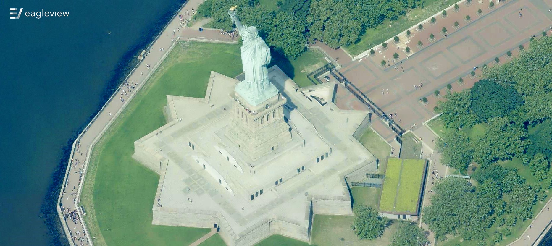
The Statue of Liberty!
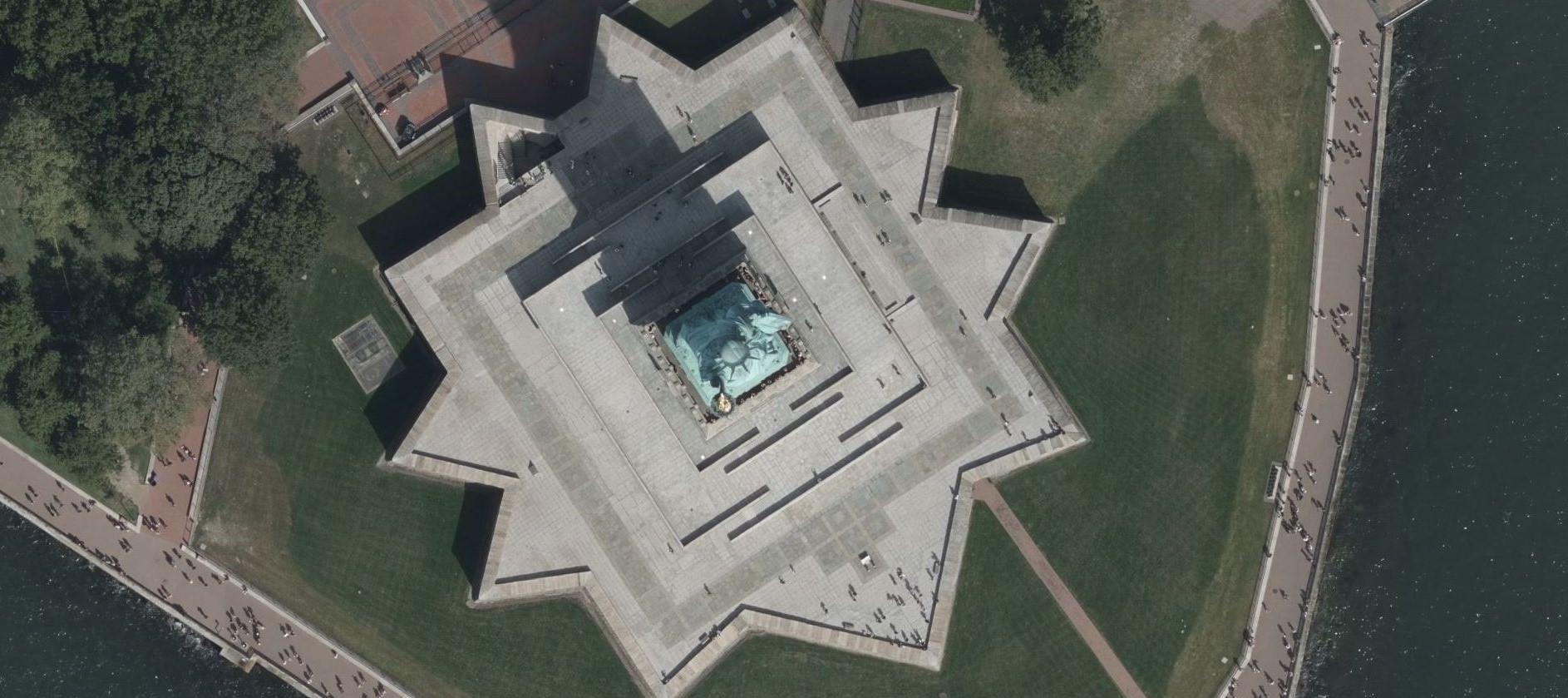
Let's start off with an easy one.
#2
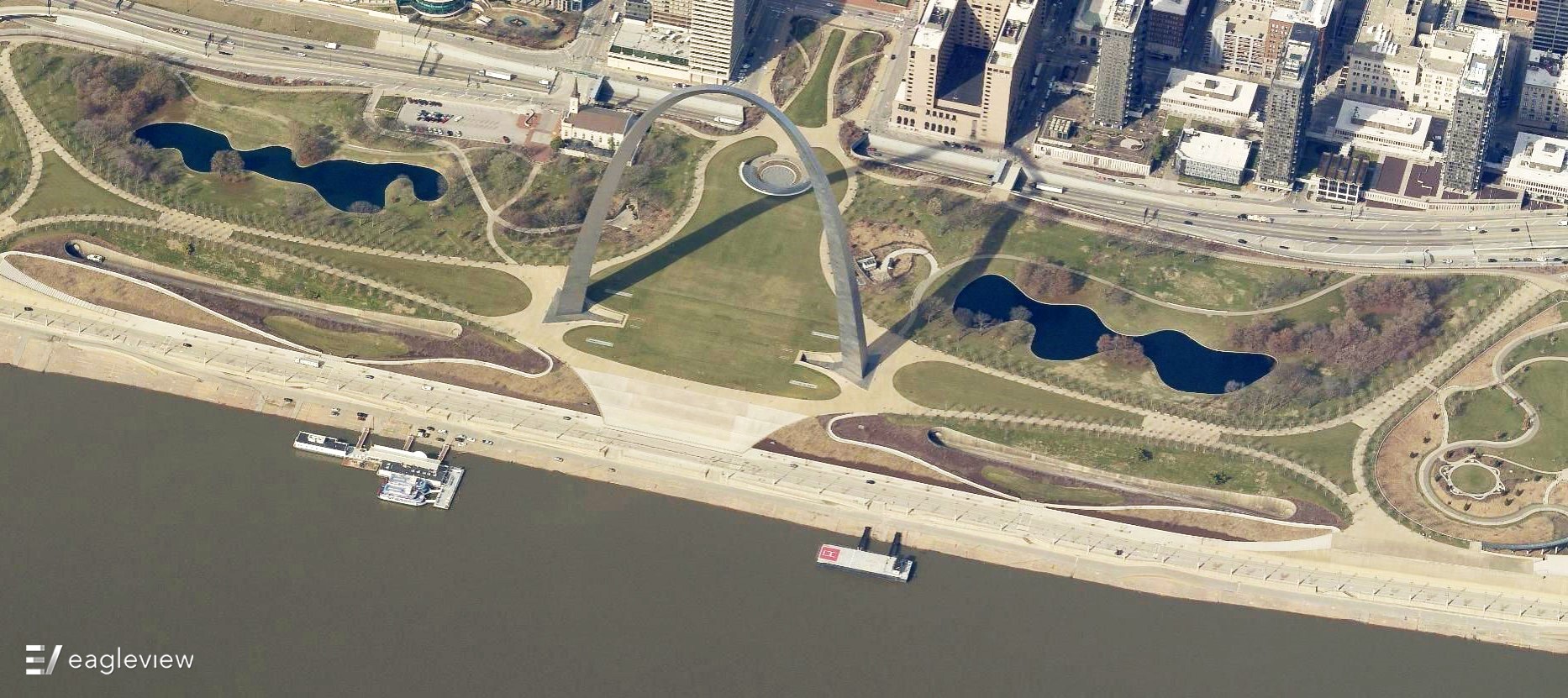
Did you make the Gateway Arch?
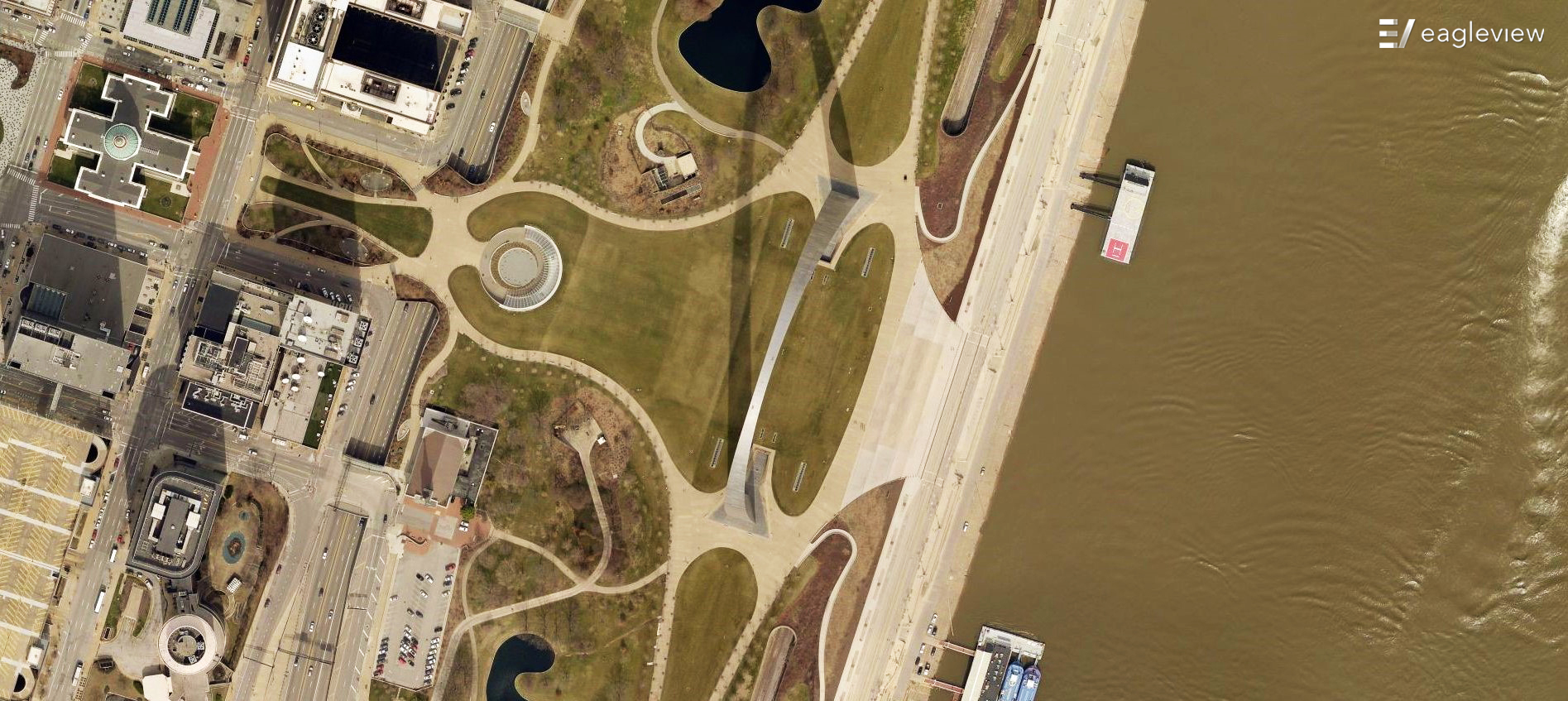
What can you make of this?
#3
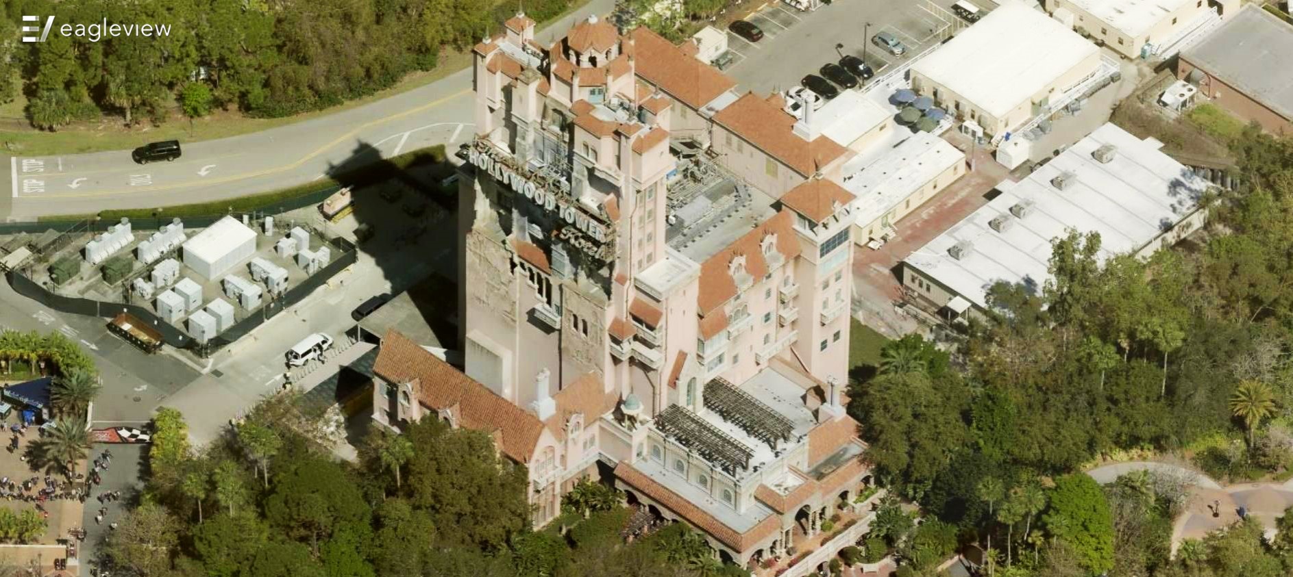
It's Hollywood Studios' Tower of Terror!
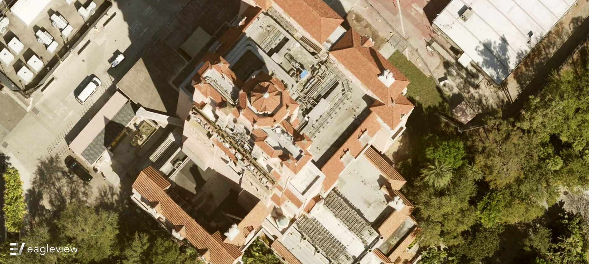
What building do you see here?
#4
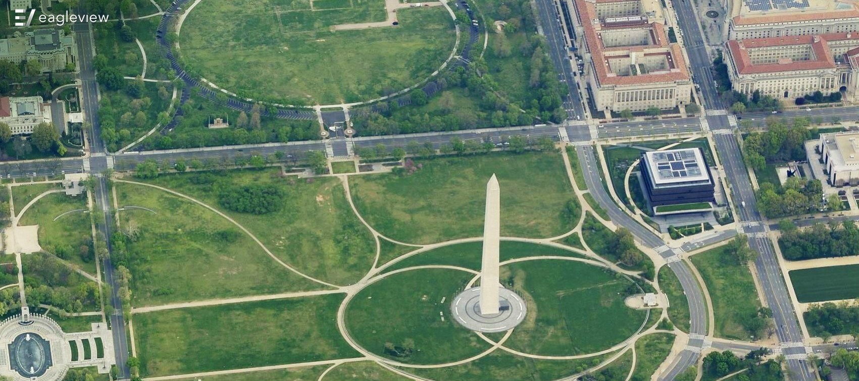
We have a very famous landmark - the Washington Monument!
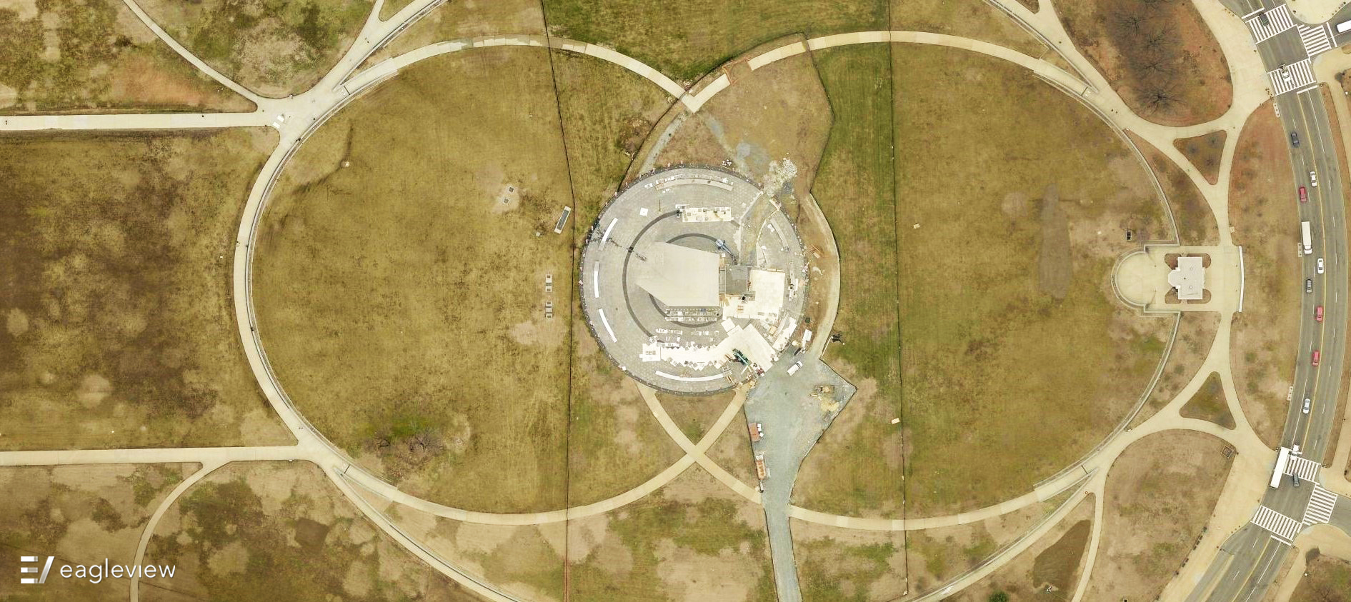
What do we have here?
#5
Could you tell that the center was twice as tall as the rest of the building? We'd be willing to wager a guess!
Change of pace. How much of a height difference is there between each section of this building?
#6
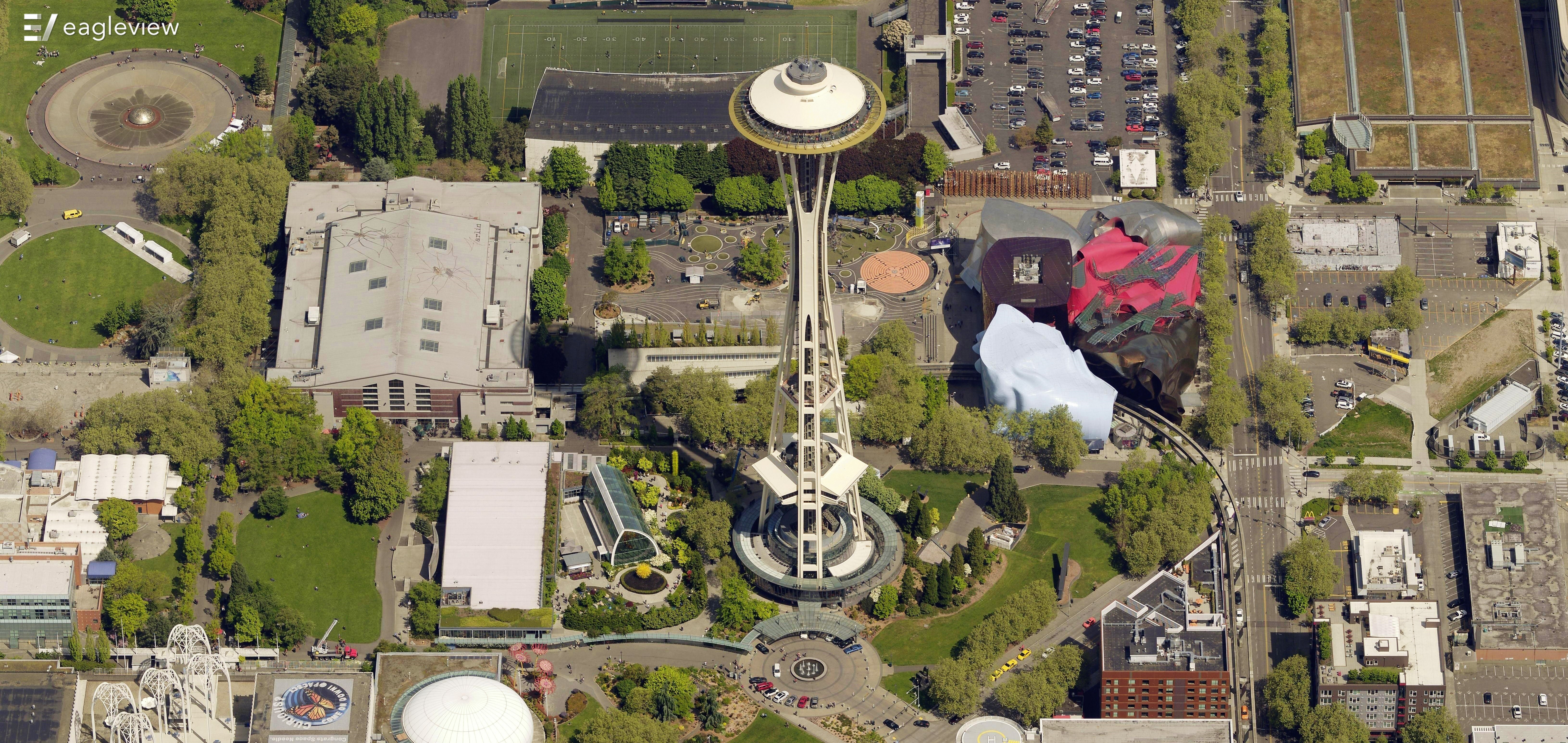
Home of the Space Needle!
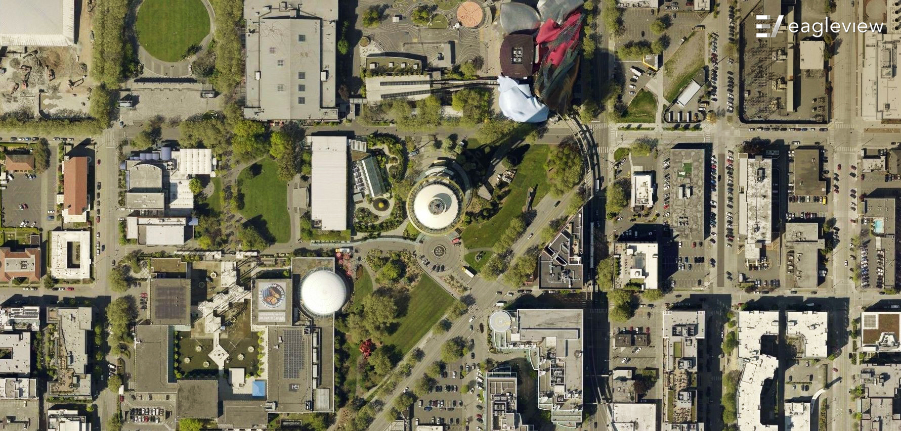
Here's an interesting neighborhood.
#7
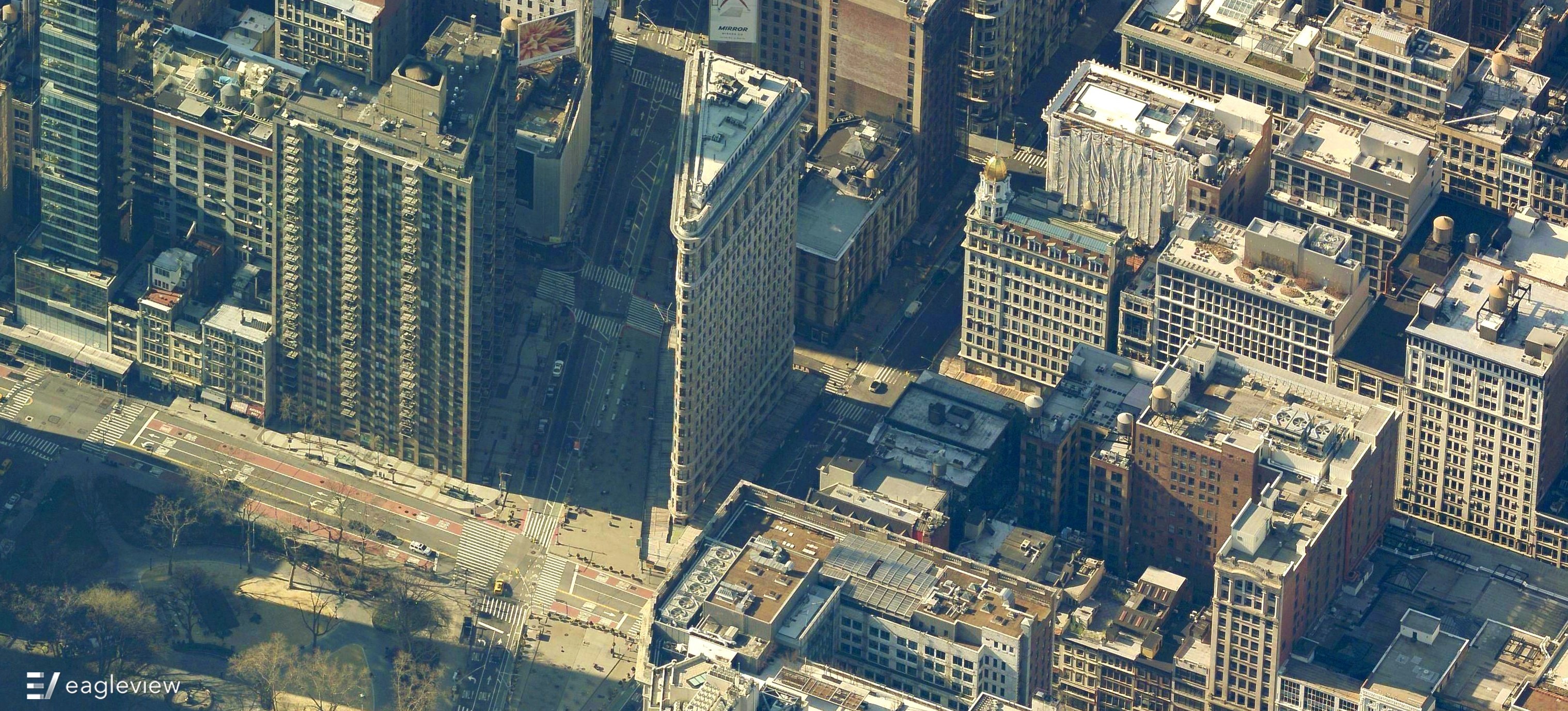
Of course - it's New York City's Flatiron Building!
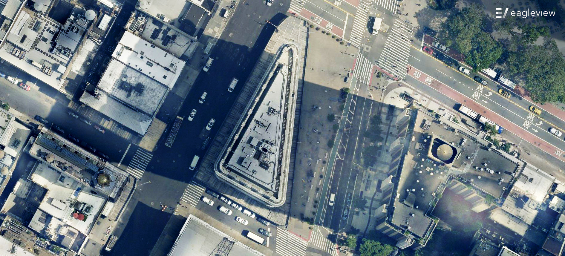
Kind of an interesting triangle.
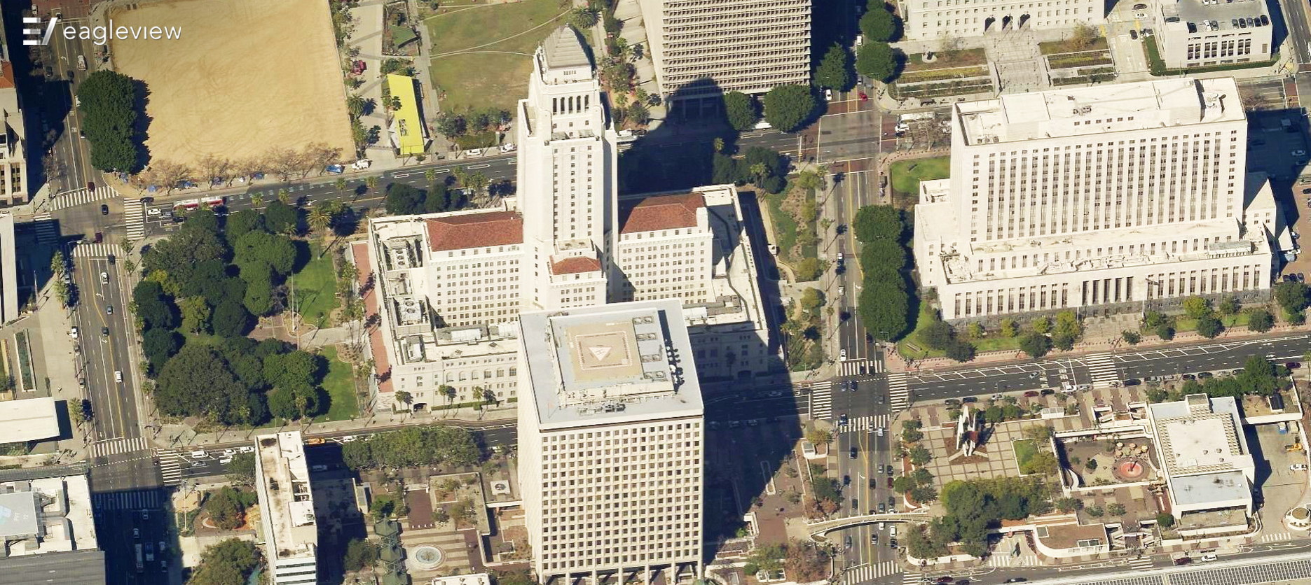
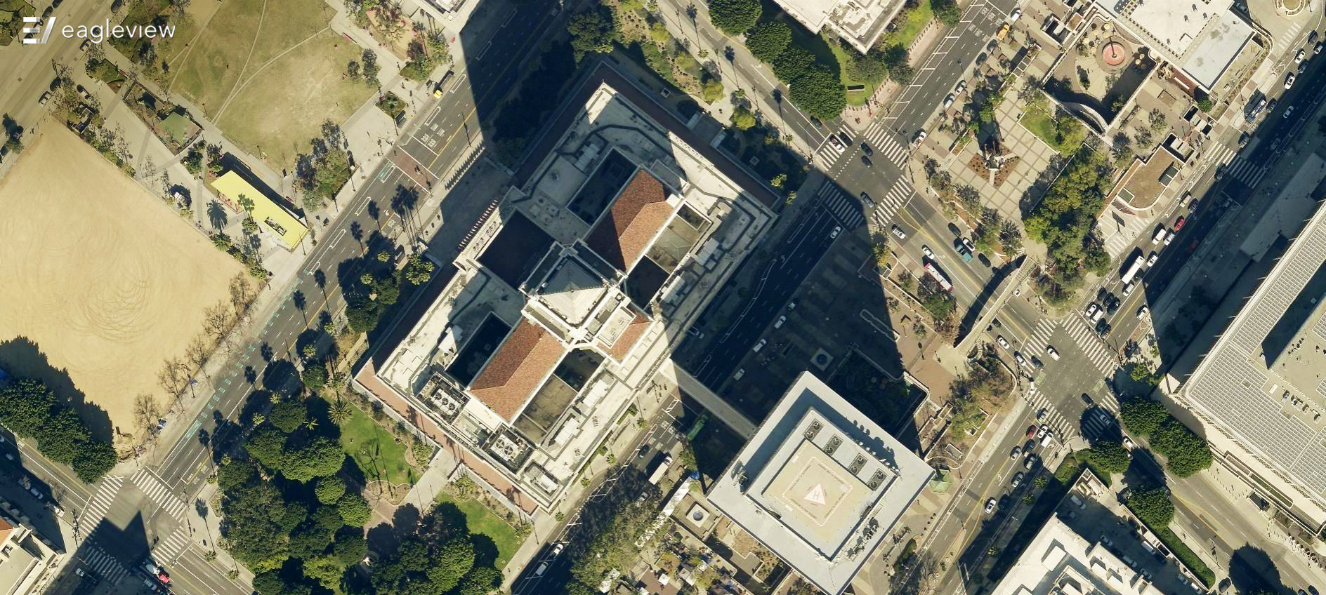
#8
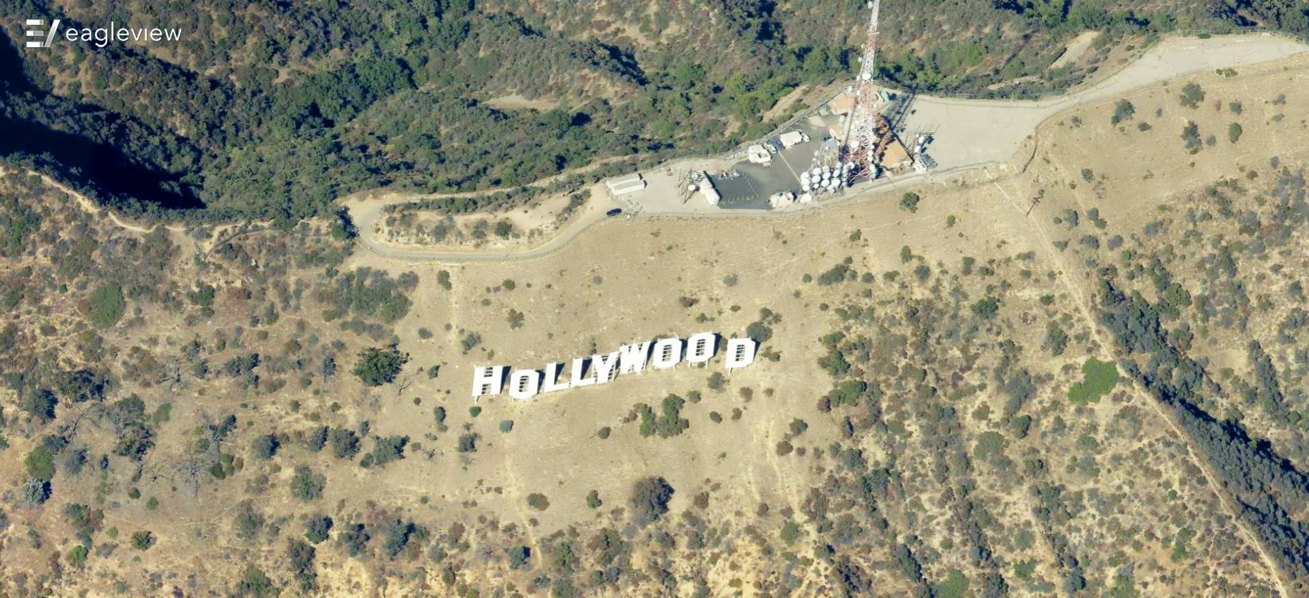
Welcome to Hollywood!
Last but not least...
How many did you get right?
If your answer is less than "all of them", then you already see the value of oblique imagery. On the job, misidentifying even one structure could have disastrous consequences, from incorrect tax valuations to ordering the wrong amount of materials for a roofing job.
Our customers don't want that to happen - and neither do we. That's why we've spent the past two decades patenting and perfecting our oblique image capture technology, which delivers 4x the detail of standard aerial imagery and 140x that of satellite imagery.