It’s official: Punxsutawney Phil, the beloved Pennsylvania groundhog,
saw his shadow on February 2, 2018. According to tradition, this means the United States will experience six more weeks of wintry weather.
Of course, using a rodent to predict the weather isn’t scientific, or even accurate. Phil's weather predictions are only correct about 50% of the time!
Going by the calendar, the winter season is half over in the U.S., and spring is on the way. Yet that doesn’t mean a reprieve in snowy conditions right away—especially for the nation's drivers.
A Snowy Start to the Snowiest Season
Winter often sticks around longer than many want it to. As late as mid-March 2017, the Northern United States and some parts of Canada experienced
a Category 3 winter storm. Many areas saw between two and five feet of snow during the blizzard.
This year, some regions across the United States have seen their coldest winter starts in several years,
according to The Weather Channel. Even in the typically snowy Northeast, some cities haven't had temperatures this low in 20 or more years.
In fact, cold winters are the norm throughout much of the country. The Federal Highway Administration (FHWA) reports that more than
70% of all roads in the United States are located in snowy regions that receive five inches or more of snowfall each year. Additionally, nearly 70% of the American population lives within these regions, thus increasing the risks of wintertime traffic accidents.
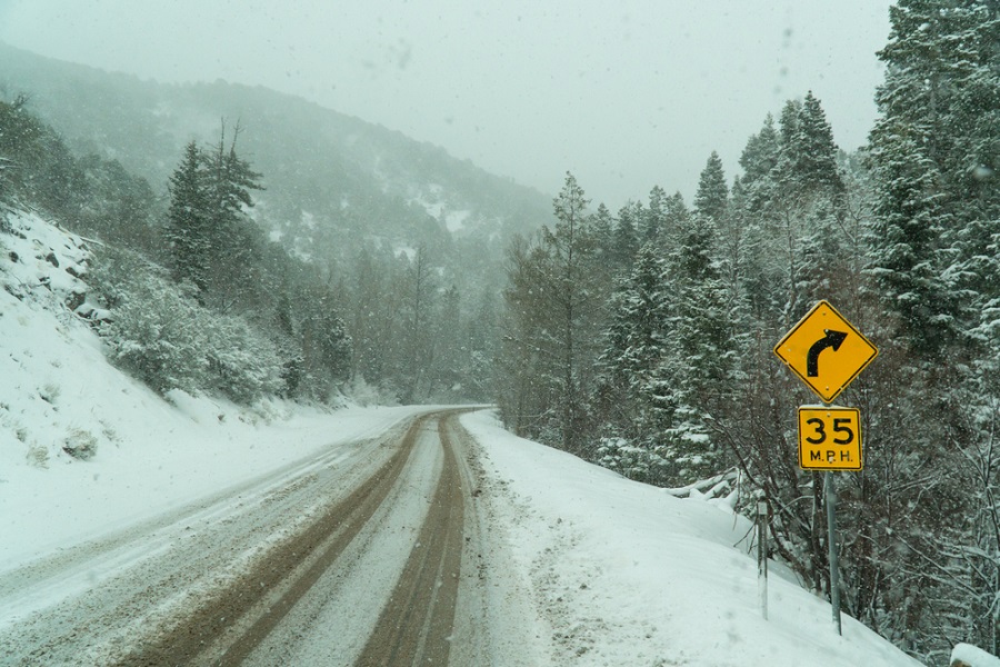
High Risk on the Highway
(Image: Shutterstock)
Research from the FHWA states that an average of 1.25 million weather-related traffic accidents occur each year. That figure represents nearly a quarter of all traffic accidents in the United States.
Snowy, slushy, and icy pavement, as well as snow and sleet, lead to a combined average of
536,731 crashes each year in the United States. Those collisions result in annual averages of more than 136,000 injuries and 1,800 fatalities.
Most drivers who live in colder climates know the
dangers of winter driving firsthand. It's easy to spin out on an icy road or get stuck in the snow during a blizzard. And some drivers still travel like the roads are clear, even in whiteout conditions--increasing the chance of an accident for themselves and for other drivers on the road.
Yet even regions with mild winter temperatures can face hazards when an unexpected snowstorm shows up. Many southern states don't have the resources to remove snow or melt ice like their northern counterparts. Such conditions can create wintertime traffic hazards for drivers who aren't used to driving on snowy, slushy, or icy streets.
The Right Data and a Real-World View
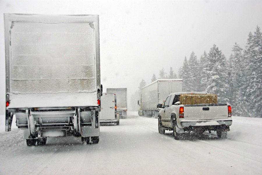
(Image: Shutterstock)
Public safety personnel respond to traffic collisions and other emergencies on the roads no matter what season. Technology plays an integral role in helping them respond to and reduce the number of traffic incidents, especially during the winter.
Maps can help call takers and dispatchers in
9-1-1 call centers determine where an emergency has taken place and direct personnel to the scene. But sometimes a simple street map isn't enough. What else do public safety agencies need during winter?
1. Aerial imagery
Aerial imagery with
top-down and oblique perspectives gives Public Safety Answering Points (PSAPs) a realistic view of a location. They can recognize areas by real-world landmarks, so agencies can see where—and even why—accidents may occur more frequently in some areas.
2. GIS solutions
Crime analysts use
maps to track crimes and identify any
patterns in the incidents. These same solutions can also apply to wintertime traffic hazards.
Geographic information systems (GIS) and mapping technologies assist public safety professionals year-round. During winter, they are especially crucial for identifying common problem areas where drivers may see more accidents.
3. Collaboration
If a certain intersection sees more accidents than others, public safety agencies can work with other departments to mitigate these risks. Local and state authorities may even use maps to determine the need for additional signage, traffic lights, or lanes to reduce wintertime traffic hazards.
This information also helps agencies bring awareness to the public via social media. If drivers tend to speed through a particular neighborhood or down a certain highway, police departments can station road patrol crews in these high-risk areas.
No map can prevent accidents completely. The right technology, however, can help agencies see where or how collisions could occur, in turn reducing injuries and saving lives.