September is National Preparedness Month in the United States, and this year’s theme is
“Don’t Wait, Communicate. Make Your Emergency Plan Today.” The month-long event encourages Americans to make family emergency plans, purchase or update their emergency supplies, and stay informed about emergencies that may affect them. National Preparedness Month also promotes community involvement when it comes to preparing for and responding to events.
This Department of Homeland Security (DOHS) program began in 2004. The DOHS selected the month of September because of the terrorist attacks on September 11, 2001, which highlighted the need for emergency-preparedness for all Americans.
However, terrorist attacks aren’t the only events that Americans should be prepared for. Natural disasters – including hurricanes, tornadoes, wildfires, floods, and earthquakes – can happen fast, so knowing what to do or where to go in the event of one can save lives. Oil and chemical spills along with certain types of diseases can also spread quickly, so preparedness is key.
Yet even though disasters affect more than 200 million people worldwide each year, not everyone is prepared. A Federal Emergency Management Agency (FEMA) survey from 2012 revealed that
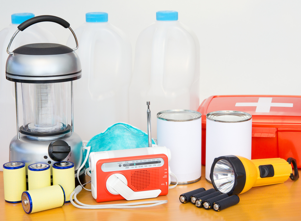
only 52% of Americans have emergency supplies (e.g. food, water, flashlights, batteries, first aid kits) in their homes, and just 43% have a household emergency plan.
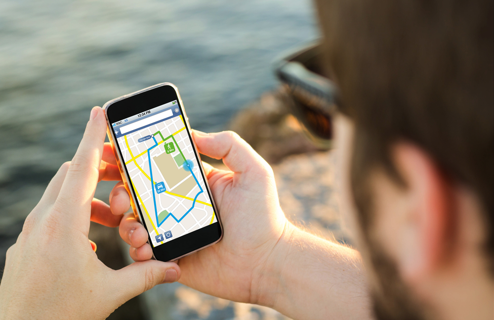
Thankfully, information on emergencies spreads faster today than it did on 9/11. It’s become easier to get the word out about disasters thanks to social media platforms and the widespread use of smartphones. Some counties even have mobile apps that give the public real-time information on fires, floods, and other emergencies.
Government agencies today are responsible for alerting the public of disasters in their area, but disaster preparedness doesn’t have to wait until the moment an event occurs.
GIS departments are instrumental in gathering geographic information about an area and turning that data into easy-to-understand visualizations. That kind of information is useful before, during, and after an event.
Before a Disaster
GIS data collected from drone and aerial imagery contributes to hazard mapping, but it does more than simply show geographic locations. It can analyze and map information, so emergency managers, public safety personnel, and other officials can make informed decisions during a crisis.
In turn, public safety officials can use that data to conduct community training sessions, so everyone knows what to do in the event of a catastrophe. Although 46% of adults believe their community will face an emergency at some point, according to FEMA, just 23% of American have attended some kind of training or meeting on disaster preparedness. The need for further education on disaster preparedness is critical throughout all parts of the United States.
 During an Emergency
Geographic information can help first responders plan escape routes, establish safety zones, and identify which areas face the most immediate risk. GIS data can help track disasters and give emergency managers an idea of how an event might progress.
After a Catastrophe
Emergency managers can study GIS data from previous disasters to develop better plans in case of future events. After a wildfire, one county was able to pull information about each parcel and incorporate it into a mobile app. This saved firefighters from having to record the information by hand and upload information at a later time.
Aerial imagery taken just days after an event can also help a region recover from disaster and see the full extent of the damage.
Emergency preparedness doesn’t have to end in September. Creating emergency preparedness kits, developing plans for different types of disasters, and participating in community preparedness efforts are good ideas for everyone. GIS departments, meanwhile, can find solutions that keep their regions safer and ready for anything.