For Property Value Assessors, Finding Additional Revenue is Easier with EagleView
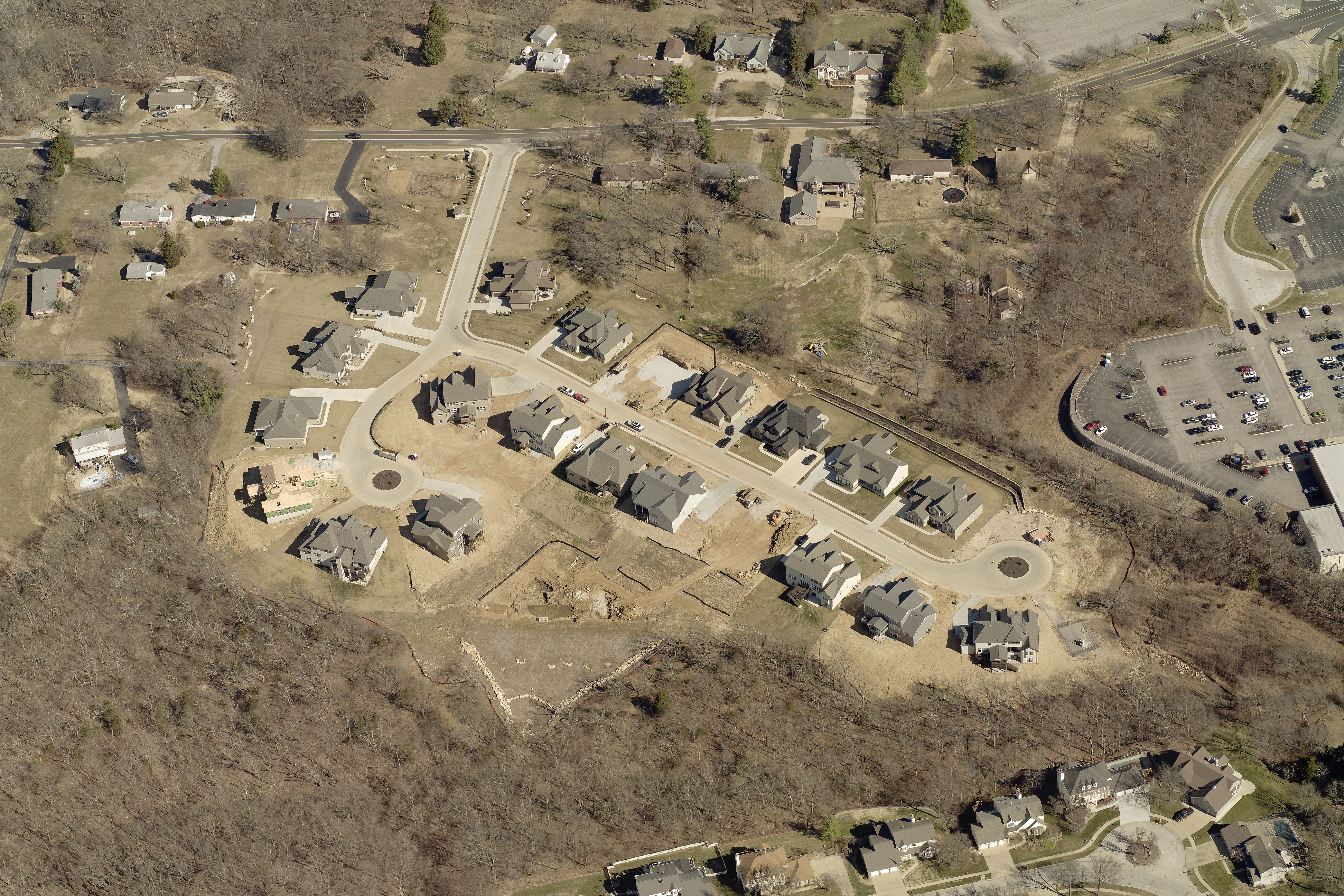
At EagleView, we know that the imagery we provide for property value assessors is of paramount importance to completing assessments accurately and on time. With EagleView's high-resolution aerial imagery, assessors can see more from the sky than is possible from the ground, providing them with full insights into a subject property at a level of clarity that satellite imagery could never match. The result is often increased property tax revenues from new structures that were previously unseen.
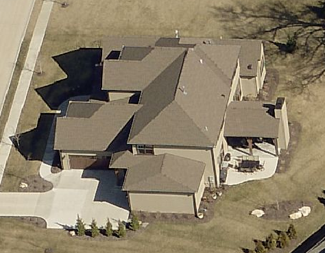
With EagleView’s oblique and orthogonal imagery, property value assessors can complete appraisals without ever having to set foot on a property. Simply by logging onto CONNECTExplorer, our virtual desktop application – which is currently being offered free of charge to assist government employees during this difficult time – assessors can view entire properties on a computer screen, moving from one to the next easily with the click of a button.
The value of EagleView imagery is enhanced greatly with ChangeFinder, our full change detection solution, which shows assessors change over time and enables them to complete assessments safely at their desks with a steaming cup of coffee. ChangeFinder enables more productive assessments while decreasing timelines, enabling some counties to find millions in additional value in less than half the time.
The benefit of using EagleView to cover huge areas of land from anywhere isn’t lost on one local assessor.
“I can take my work home, and the only reason I can do that is because I have the areas that I need to re-appraise flown already,” said Jana Seddon, Assessor, Storey County, NV. “It’s become invaluable to us.”
Local governments are not immune to the economic downturn we’re seeing as a nation. From sales tax to road tolls, governments are seeing sources of revenue dry up as constituents spend more time safely in their homes and less money on frivolities like thruway excursions and a trip to the mall. To better serve their constituents at a seemingly impossible time in history, local governments must find ways to increase revenue elsewhere.
EagleView studies with local assessors found an average increase in tax revenue of 0.15% from previously unassessed properties and changes to existing properties after using EagleView. Pair that with an average reduced cost of 40% due to less time spent on time-consuming site visits, and an average accuracy improvement of 60%, and the value of EagleView’s return on investment becomes as crystal clear as the imagery itself.
Please don't hesitate to reach out to learn how EagleView's incredibly high-resolution aerial imagery and change detection software can help your department find more value at a time when local government budgets are shrinking. Feel free to contact your EagleView representative or contact us through the website to learn more.