Clear and Current Aerial Imagery for Utilities
and Infrastructure
Access detailed site imagery remotely for
more efficient field operations.
Powerful Location Intelligence for Efficient Planning
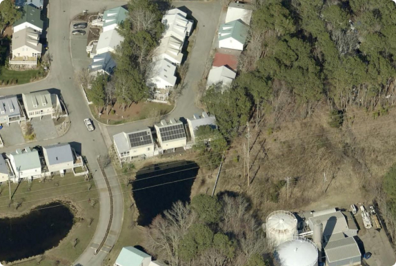
Asset managers use high-resolution aerial imagery to verify site terrain, access routes, vegetation encroachment, and nearby buildings. Get the site intelligence you need before sending teams into the field.

Powerful Site Analytics for Better Planning
Vegetation Management
Quickly assess vegetation risk with clear, high-resolution imagery. Manage your utility corridor with TreeRisk, a detailed, custom report showing encroachments and prioritizing locations of greatest risk.
HCA Identification
Review pipeline locations to identify High Consequence Areas (HCAs) and verify and update your mapping systems to reflect accurate buffer zones.
Asset Management
Use aerial imagery as a basemap for asset identification and inspection. Easily plot locations for key infrastructure and verify locations, measurements, and condition remotely.
Aerial Imagery for Base Maps
Seamless Integration with Esri for Better Mapping
EagleView has been an Esri Gold partner for nearly 10 years, with turnkey
integrations with the best mapping solutions available on the market.

Intuitive, Web-Based Software for Viewing and Analysis
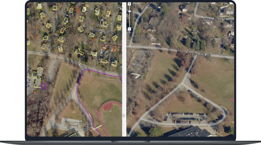
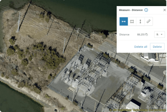
In addition to our integrations with leading geospatial software, we offer our own web-based imagery viewer, available anywhere with internet access. Use our built-in tools to accurately measure distance, height, and area for assets and structures within images. Overlay parcel data and custom GIS layers for efficient analysis.
