Aerial Imagery
for Public Works
Efficiently maintain infrastructure and field
assets with high-resolution aerial imagery.
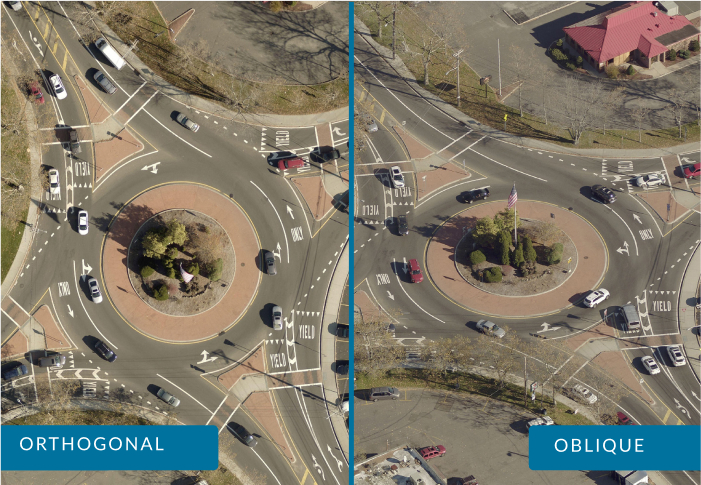
Orthogonal and oblique aerial imagery
Precise geospatial data for location accuracy
Visualization tools that combine imagery with asset, infrastructure, and work order data.
Get the Full Picture for Public Works Assets with Oblique Aerial Imagery
- Remotely inspect assets and infrastructure that would be difficult to see with only a top-down, orthogonal view
- Get a clear view from all cardinal directions for a more complete understanding of the location
- Remotely measure, track, verify, inspect, and report on the status of roads, bridges, signage, and other infrastructure and assets
- Mark a geo-accurate XY coordinate location for each asset
- Efficiently manage field repairs
- Manage drainage, stormwater, and capital improvement projects
Helping Public Works Departments Streamline Workflows
Public Works departments use oblique aerial imagery within their existing asset management platforms to work efficiently and remotely.

Cindy Post
Chief Information Officer
City of Leduc, Alberta, Canada
“Our staff is constantly using [the EagleView integration with Cityworks] in the field and the office and communicating with each other on it. They don’t know what they would do without it.”
Additional Solutions and EagleView Integrations

3D Mesh
View buildings and cityscapes in a three-dimensional environment and add critical measurements.
Certified Imagery
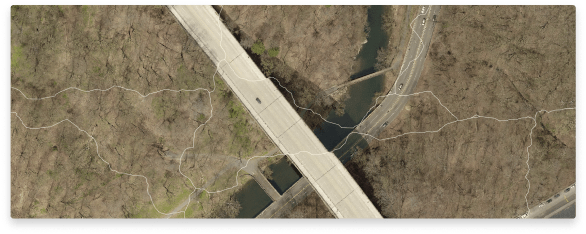
EagleView can provide authoritative orthomosaics produced in accordance with state and local requirements.

Advanced Data Analysis and Visualization with Esri ArcGIS
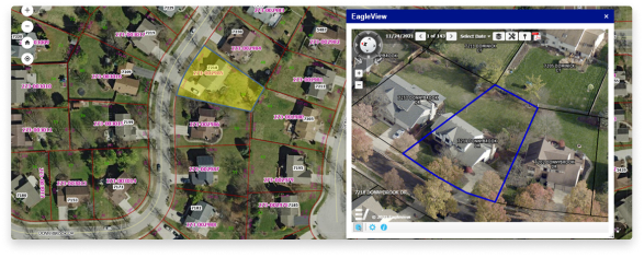
EagleView’s oblique and orthogonal imagery integrates with Esri ArcGIS Solutions Suite. Esri users can access EagleView imagery directly within the Esri platform, removing the cost and complexity of third-party imagery and datasets.

Streamline Asset Management with EagleView and Cityworks
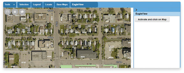
EagleView’s integration with Cityworks allows Esri map viewer allows public works and asset management departments to access high-resolution oblique imagery directly within the platform, eliminating field visits to save time and money.

