See the Difference: The Evolution and Importance of Aerial Imagery Resolution

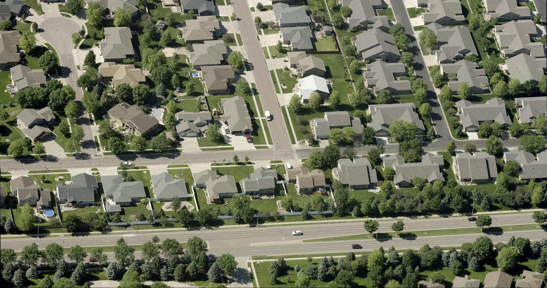
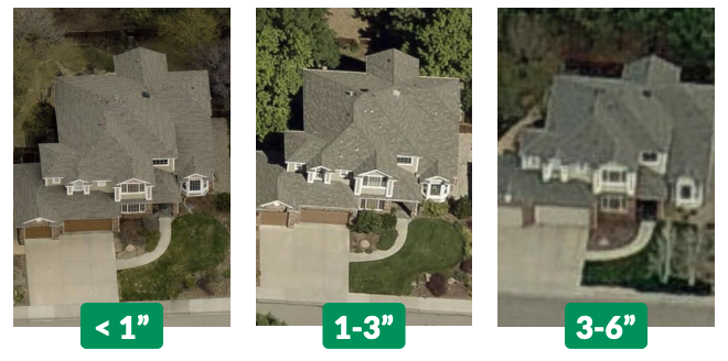
Aerial imagery has revolutionized the way government organizations operate, plan, and respond to challenges. As technology has advanced, so has the clarity and precision of this imagery, marking a significant leap from 6-inch and 3-inch ground sample distance (GSD) to the cutting-edge 1-inch GSD. This ultra-high-resolution imagery offers unprecedented detail, but it’s crucial to match the resolution to the user’s specific needs. While rural areas or broader visualization tasks might be well-served by 3-inch or 6-inch GSD, intricate urban planning, emergency response, and asset management often require the finer details that only 1-inch GSD imagery can provide.
The Role of Resolution in Aerial Imagery
Higher resolution aerial imagery, such as EagleView’s 1-inch GSD orthogonal and oblique aerial imagery, provides a clearer visual representation of the real world, translating into greater detail and more confident analysis. With every pixel representing a smaller area on the ground, government agencies can achieve more accurate mapping, critical for informed decision-making across various departments.
Balancing Resolution with User Needs
Greater Accuracy for Mapping & Decision Making
While 1-inch GSD imagery offers unmatched detail, it’s essential to consider the specific requirements of each application. In less densely populated or rural areas, where the focus is on broader visualization rather than minute details, 6-inch or 3-inch GSD imagery may suffice. However, you can only measure what you can see. Higher resolution aerial imagery provides the minute details required to extract precise data that can be used for informed decision-making in mapping, project planning, and urban planning.

Take the Guesswork Out of Public Safety Operations
When it comes to life-saving efforts, there’s no room for error. With the highest-possible aerial imagery resolution, you get the most detailed, clear information about incident locations. Emergency responders can see critical details such as road access, door and window placements, rooftop load, and potential hazards.
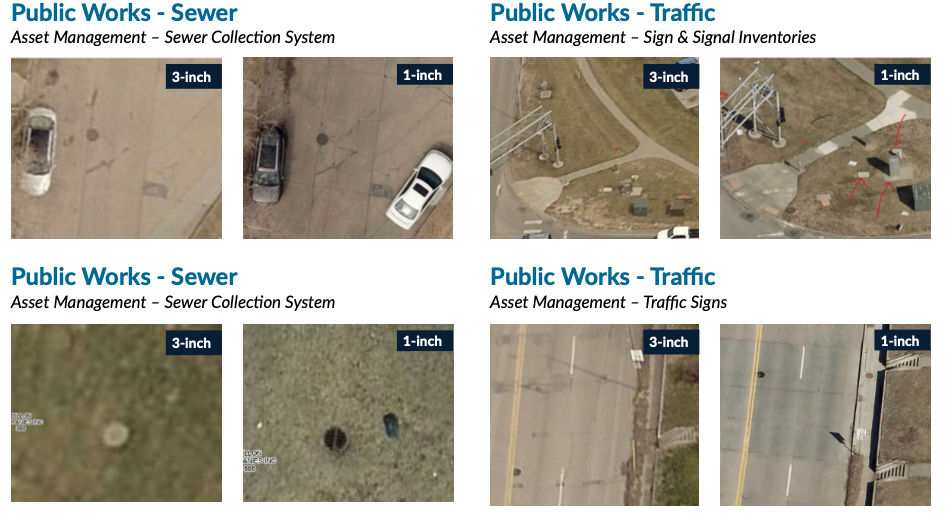
Better Manage Infrastructure and Assets
Public works organizations can leverage ultra high-resolution aerial imagery to get un-compromised clarity on the status of a region’s infrastructure assets. High-resolution aerial imagery enables public works to better measure, track, verify, inspect, and report on infrastructure components. For example, EagleView’s 1-inch oblique imagery enables public works employees to see and distinguish small infrastructure details, such as signage, fire hydrants, and light poles.
More Efficiently Assess Properties
Property assessors can use high resolution aerial imagery to remotely analyze property conditions quickly and accurately. With ultra high-resolution imagery, assessors can see granular construction details, building materials, grades, and other aspects to precisely assess the value of a property.
Case Study: Douglas County, NE
Watch as Mike Schonlau, GIS Administrator for Douglas County, NE, details the cross-departmental benefits of 1-inch imagery for his staff and residents and how to build a business case for it within your organization.
WATCH NOW
Visual Comparisons: A Picture is Worth a Thousand Words

EagleView: Leading the Way in High-Resolution Aerial Imagery
When precision and detail matter, government organizations turn to EagleView for the highest resolution imagery available. With our 1-inch GSD aerial imagery, captured at lower altitudes with less atmospheric interference, and providing oblique angles for comprehensive views, EagleView is transforming how governments plan, analyze, and execute their projects.
Get in Touch with EagleView
Discover how EagleView’s cutting-edge aerial imagery can transform your government operations. Contact us today for more information or to schedule a demonstration.
