Assessment officials and GIS professionals in government are already using Pictometry® imagery from EagleView to better understand their jurisdictions. But did you know that other county agencies can also incorporate high-resolution aerial imagery into their everyday workflows?
The following county government agencies are just some of the many that use Pictometry imagery. When combined with GIS data, users can access their imagery in applications like CONNECTExplorer™ and extract information about their jurisdictions.
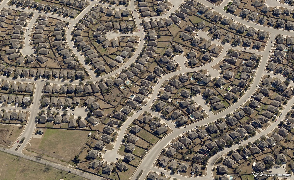
See the graphic below and keep reading to see how different county agencies can utilize Pictometry imagery.
 //cdn.thinglink.me/jse/embed.js
1. Public safety: E9-1-1 communications departments are already using Pictometry imagery to quickly and safely guide first responders to emergencies. Law enforcement officials also use imagery, GIS data, and mapping technology to create incident maps, both for public use and for investigations. According to one crime analyst we interviewed, imagery is a must-have for a SWAT raid or investigation and has even aided in a missing persons case.
2. Emergency management: No one wants a disaster to occur, but local government agencies need to be prepared in the event that one occurs. Emergency management departments can benefit from orthogonal aerial imagery to give a comprehensive, top-down view of an area. Oblique imagery is also an ideal resource, with multiple perspectives that support object recognition during recovery efforts.
3. Public works: Road repairs are a necessity during the lifespan of any street. Public works departments need to know which properties the construction may affect. They also need to know exactly where the repairs will take place and how large the affected area is. This visual intelligence helps decision makers gain crucial insights into a location and can potentially minimize time spent surveying an area.
4. Parks and recreation: Many communities consider green space one of their most valuable resources. Parks departments need overhead imagery to track land use and designate recreation areas for public use.
5. Planning & zoning: By using georeferenced imagery, planning and zoning departments can identify spaces for new housing developments and commercial properties. Using actionable Pictometry images, planning and zoning officials can measure features on the ground and extract other key data points.
6. Health department: From investigating code violations to overseeing water and sewage installations, health departments can also benefit from visual intelligence.
7. School districts: This corner could become a bus stop. School districts can draw school boundaries, determine bus routes, and develop an accurate budget for the school year.
8. Transportation: Local transit authorities may want detailed imagery to map the most efficient bus routes or metro stops. They can also plan for additional projects, like finding potential bus shelter locations.
9. Board of elections: From mapping local voting districts to designating polling places, a county board of elections can also benefit from aerial imagery and GIS data. Our CONNECTExplorer application also allows users to identify multiple parcels at once, ensuring that all properties are accounted for when district lines are determined.
10. Water authorities: Local water authorities calculate impervious surface areas to determine the amount of stormwater runoff in their jurisdiction. Having property information also helps them estimate water costs per parcel.
Sharing usage of Pictometry imagery across departments is changing the way county agencies handle everyday tasks.
See more of our Pictometry imagery solutions and contact us for more information using the “Request information” button at the top of the page.