EagleView: Where AI Meets AI
When artificial intelligence meets aerial imagery, data drives decisions

Start with The Right Foundation
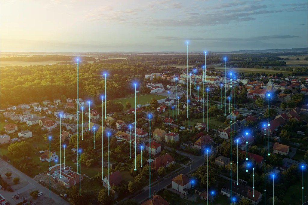
Artificial Intelligence is changing fast—but one thing won’t change: the need for accurate, real-world data. Our high-resolution aerial imagery provides the detail and context AI models need to understand the physical world and take confident action.
Whether you’re building predictive tools, optimizing workflows, or deploying autonomous agents, you need AI-ready imagery to make AI work.
Machine Learning Models
Trained with high-resolution imagery
Data Scientists
AI engineers driving innovation
Scalable AI-Powered Insights
Powering generative and agentic workflows
Smart Partnerships
Combining EagleView’s imagery with trusted AI partners
How EagleView Uses AI
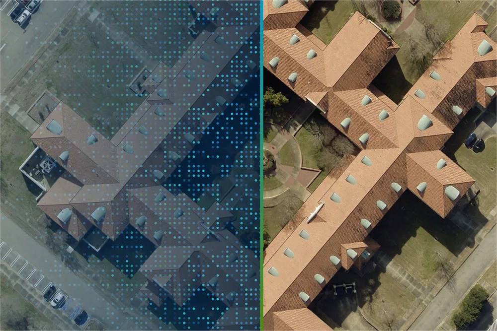
EagleView has been at the forefront of AI-powered aerial imagery for years, using proprietary machine learning models to enhance imagery processing, extract insights, and provide unmatched accuracy at scale. Our AI technology improves:
Image Processing
AI-driven aerial triangulation, mosaic creation, and color balancing.
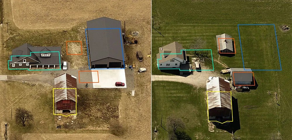
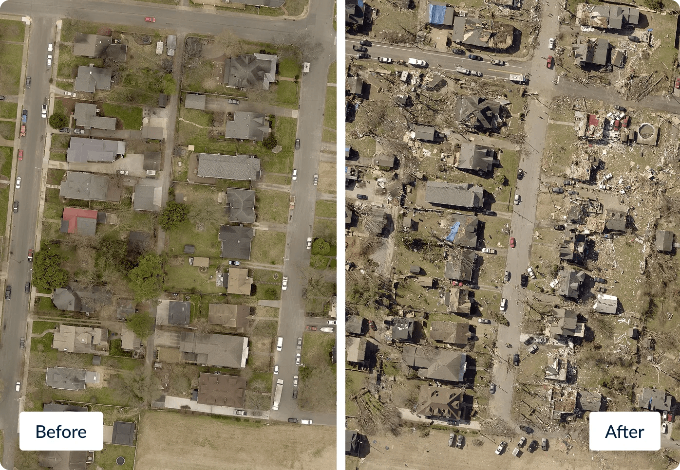
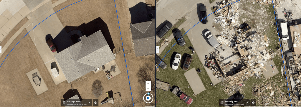
Automated Change Detection
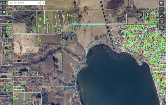
Identifying structural changes for property assessment and urban planning.
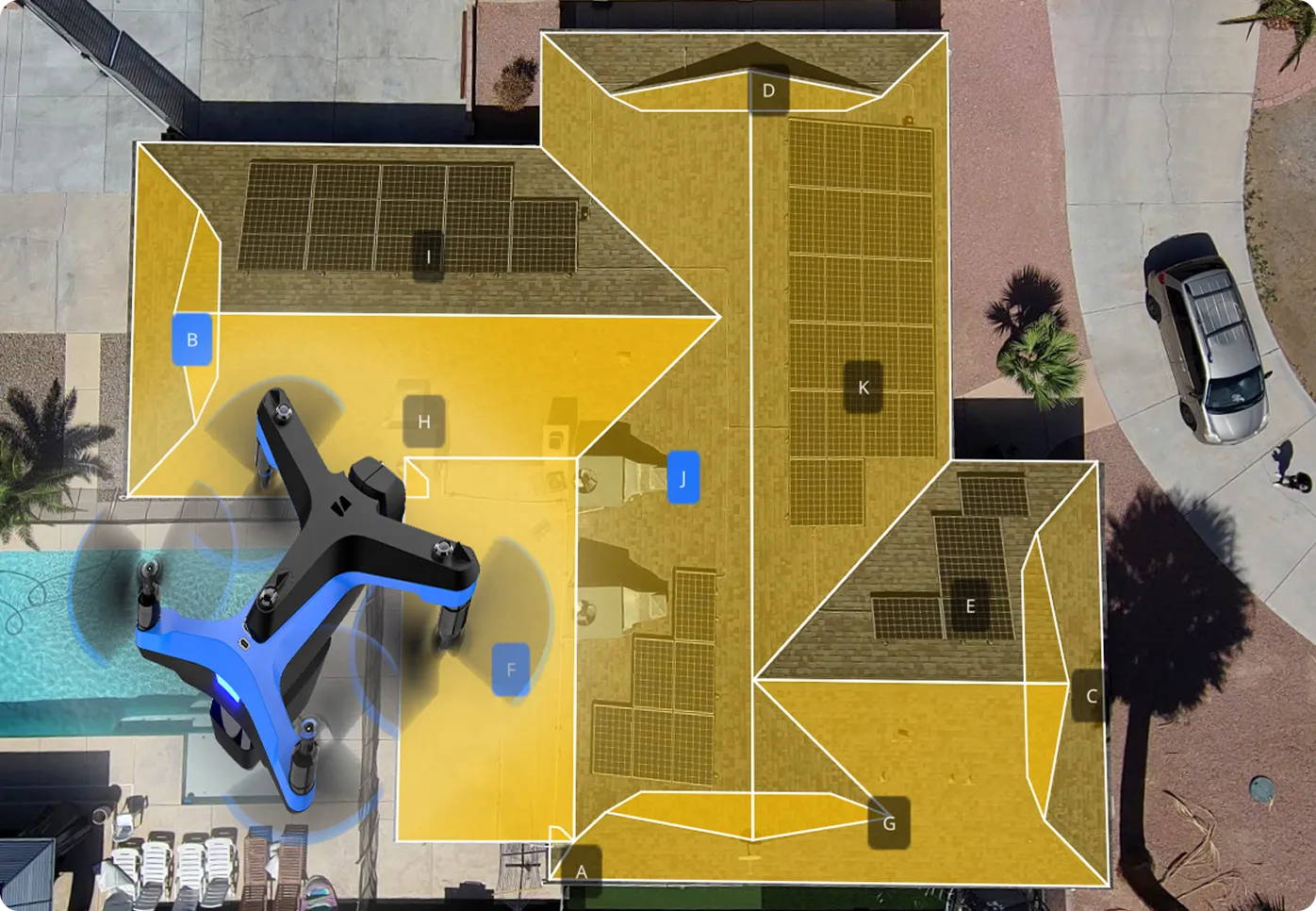
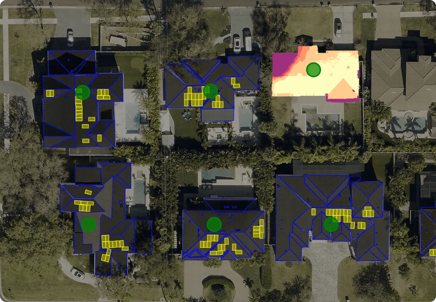
Property Intelligence
AI-powered models for roof condition analysis, land use classification, and infrastructure monitoring.

Efficiency & Scale
AI accelerates processing times and ensures scalable insights for large areas.

Industry Applications of AI-Powered Aerial Imagery
Government & GIS
Smarter property assessments, infrastructure planning, disaster response.
Learn More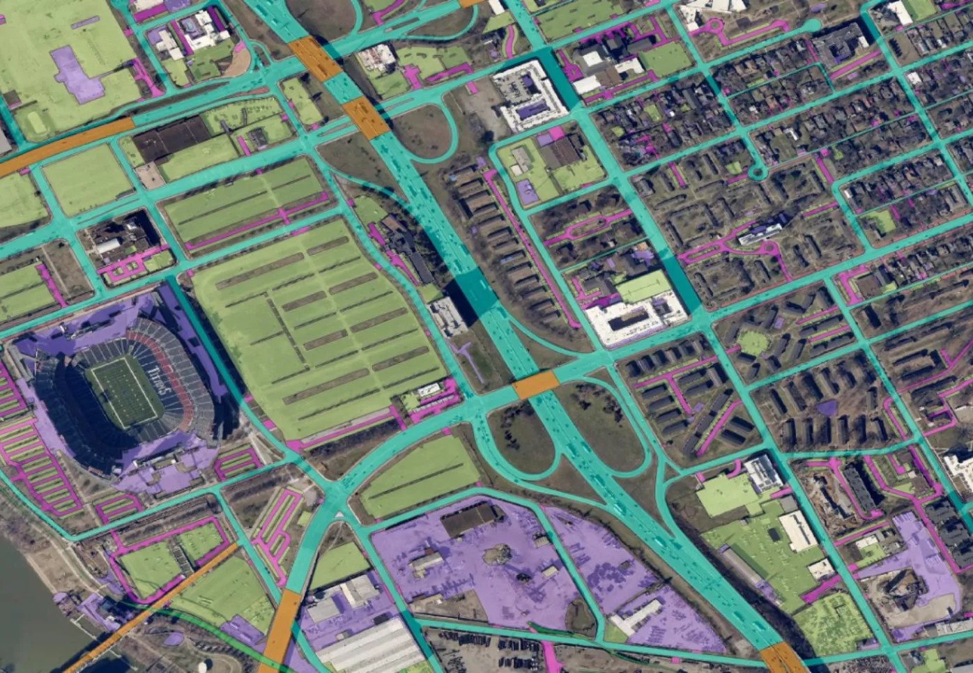
Real Estate
Residential & Commercial property characteristics for appraisal and inspection.
Learn More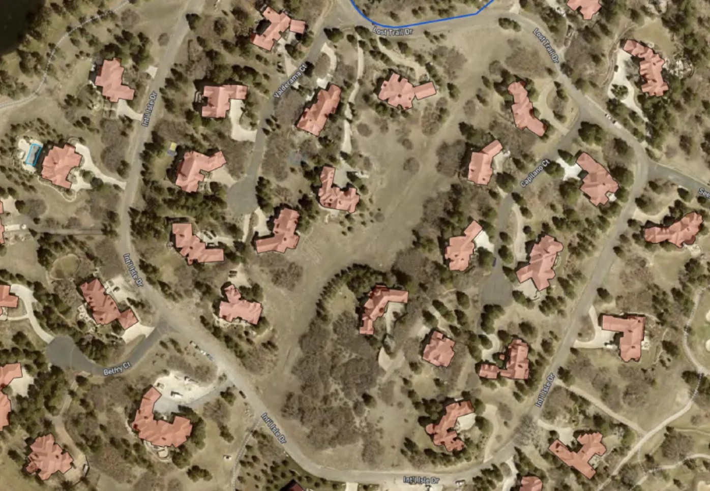
Resources
Heading line
Lorem ipsum dolor sit amet, consectetur adipiscing elit.
Explore how AI Meets AI with EagleView. Contact us today.