Explore how Eagleview is helping ArcGIS users turn high-resolution imagery into insight, automation, and action.
This year, Eagleview is heading to the 2026 Esri User Conference with a clear AIM: AI, imagery, and mapping.
In San Diego, we’re excited to connect with Esri users, partners, and GIS leaders looking for new ways to get more value from imagery across their ArcGIS workflows.
Our presence at UC is focused on a simple idea: high-resolution imagery is becoming more than a basemap. When paired with AI-powered capabilities, rich imagery data, and seamless ArcGIS integrations, it can become a source of insight, context, automation, and action for teams across government, utilities, AEC, emergency management, assessment, public safety, infrastructure, and more.
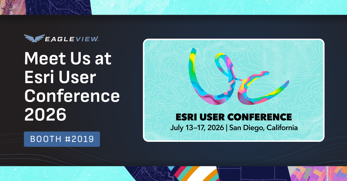
Visit Eagleview at Booth #219
Stop by the Eagleview booth to meet our team, ask questions, and see how Eagleview imagery and solutions are being used inside ArcGIS applications.
Attendees can also schedule dedicated time with our team for a more personalized conversation or demo. During your booth meeting, you can explore:
- Eagleview support for Esri Oriented Imagery Layers, making it easier to view high-resolution oblique imagery directly within ArcGIS workflows
- Eagleview Horizon, our new agentic AI tool powered by more than 3.5 billion Eagleview images
- How ArcGIS users can access Eagleview imagery through SkyWatch and Esri’s Content Store for ArcGIS
- Getting the most from your Eagleview and Esri integrations

Eagleview oblique aerial imagery available in Esri’s Oriented Imagery Layers
Join Us During Esri's Mappy Hour Social
Eagleview will also be hosting an in-booth bar during Esri’s Mappy Hour Social.
Join us at booth #2019 on Tuesday, July 14 from 3:30–5:30 PM PT for complimentary beverages, including both alcoholic and non-alcoholic options. It’s a great opportunity to take a break, connect with the Eagleview team, meet other GIS professionals, and learn more about what we’re building alongside Esri.
Whether you’re stopping by for a quick hello or staying for a deeper conversation, we’d love to see you there.
Attend Our Esri UC Presentations
Eagleview will also be part of two sessions during the conference, highlighting both emerging technology and real-world recovery work supported by GIS and imagery.
County of Maui and the Lahaina Recovery Project: Parcel Fabric Control Points
Wednesday, July 15
8:30–9:30 AM PDT
Pacific Ballroom Salon 26 | Marriott
Get full session details
Following the 2023 Lahaina wildfires, the County of Maui faced a complex challenge as homeowners required surveys prior to rebuilding. In partnership with stakeholders, the Lahaina Homeowner Recovery Program used County of Maui Real Property Assessment Department records and existing datasets to help restore property boundaries and rebuild data integrity.
This session will highlight lessons learned in data coordination, public engagement, and sustainable data management practices designed to improve spatial accuracy and establish a repeatable framework for post-disaster land record recovery.
Presenters:
Megan Reilly, District Manager, Eagleview
Elisse Deleissegues, GIS Analyst VI, County of Maui
Imagery Has Entered the Chat: OIL, AI, Field Apps, Response Workflows, and Dashboards Powered by Eagleview in ArcGIS
Thursday, July 16
9:15–9:30 AM
Hall A
High-resolution imagery is no longer just something to view on a map. With new AI-powered and workflow-driven capabilities, imagery can help users ask better questions, surface insights faster, and take action across the ArcGIS ecosystem.
In this 15-minute session, Eagleview will highlight new and emerging ways its imagery, data, and AI capabilities are supporting Esri users across practical workflows. The session will cover support for Oriented Imagery Layers, agentic AI tools for GeoAI, disaster response imagery and data for response operations and dashboards, Survey123-enabled field collection, and Experience Builder applications that make insights easier to share and act on.
Attendees will leave with a look at how Eagleview is helping teams turn imagery into more conversational, contextual, and actionable intelligence inside ArcGIS.
Presenter:
Brianna Zumhof, Partner Strategy Manager, Eagleview
See What 20 years of Partnership with Esri Looks Like
This year’s UC is especially meaningful for Eagleview. Earlier this year, Eagleview was recognized as an Esri Cornerstone Partner, honoring 20 years of partnership and collaboration with Esri.
It reflects years of working alongside Esri, supporting shared customers, and helping GIS teams use high-resolution imagery to solve real-world problems.
That ongoing collaboration now includes more ways for Esri users to access and apply Eagleview imagery, including support for Oriented Imagery Layers and availability through SkyWatch and Esri’s Content Store for ArcGIS.
Make Eagleview Part of Your Esri UC Plans
From booth demos and Mappy Hour conversations to technical sessions and real-world customer stories, Eagleview is excited to show how high-resolution imagery is becoming more actionable across the ArcGIS ecosystem.
Visit us at booth #2019, schedule time with our team, and join us during Mappy Hour to see what’s next for Eagleview and Esri users.