Deliver Efficiency for Every Department: Visit Eagleview at NACo 2025
Join us at Booth #511 | July 11–14, 2025 | Philadelphia, PA
Eagleview is proud to return to the National Association of Counties (NACo) Annual Conference & Exposition, taking place July 11–14 in Philadelphia, Pennsylvania. As a long-time partner to counties across the country, we’re excited to connect with local government leaders and demonstrate how one investment in high-resolution aerial imagery can deliver lasting value across your entire organization.
Visit Us at Booth #511
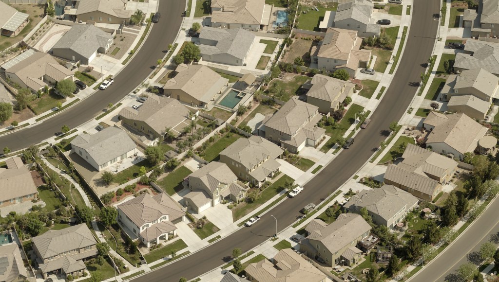
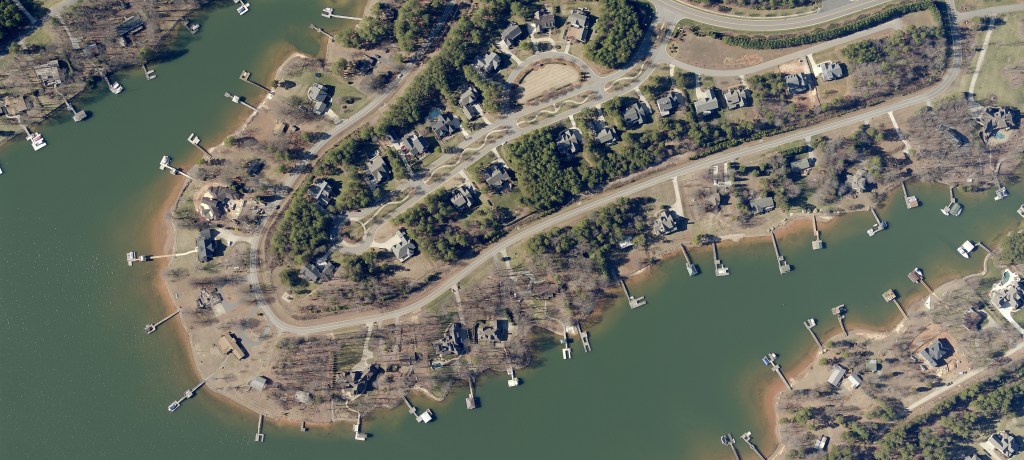
Looking for a way to do more with less? Visit Eagleview’s booth to see how aerial imagery can be your county’s most versatile asset. Our team will be showcasing how Eagleview’s ultra-detailed and award-winning 1-inch Ground Sample Distance (GSD) imagery powers smarter decisions, minimizes field visits, and helps departments work more efficiently—from assessment and GIS to public safety and emergency response.
You’ll see real-world examples of:
- 900% ROI achieved by Manitoba’s property assessment office
- Multi-department collaboration driven by a single imagery purchase
- Improved response times and situational awareness for first responders
- Data to support AI and long-term community development goals
As Commissioner Heber Richardson of Albany County, Wyoming put it, “There’s all kinds of ways to use it… it’s endless.”
One Solution for Every Department
County leaders are asked to do more every year with fewer resources and rising public expectations. Eagleview is the silver bullet that helps you:
- Maximize your return on taxpayer investments
- Deliver interdepartmental efficiencies
- Support AI-powered workflows and geospatial intelligence
- Enable faster, safer public safety operations
- Accelerate infrastructure and housing development goals
Whether you're updating parcel data, responding to emergencies, or planning tomorrow’s communities, Eagleview provides the clarity and insight you need to move forward with confidence.
Why Visit Eagleview?
- Learn how other counties are using one imagery investment to meet multiple strategic goals
- See how high-resolution data can support compliance, grants, and reporting
- Discover how imagery aligns with your strategic plan and budget priorities
- Book a live demo and get expert answers to your questions
Don’t miss your opportunity to see how aerial imagery can transform your county’s operations.
Stop by Booth #511 at NACo 2025 in Philadelphia to see the difference for yourself.
Want to learn more before the show? Contact us to schedule a meeting.