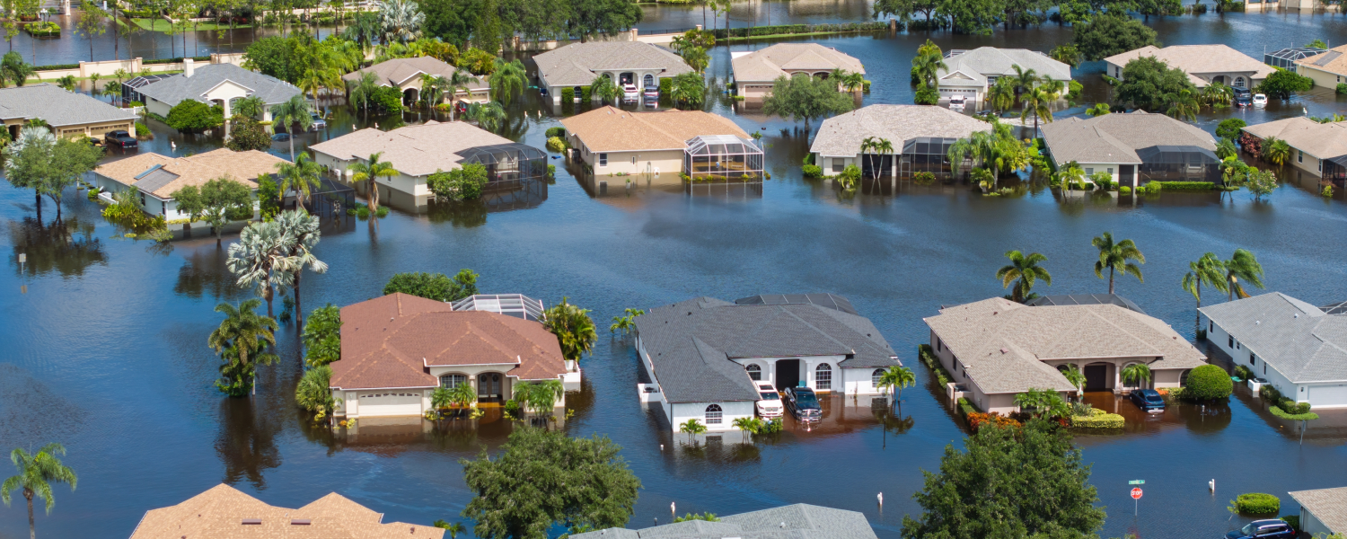
Company releases 2026 Atlantic hurricane season preparedness briefing, urging full readiness despite below-average forecasts from NOAA, Colorado State University, and AccuWeather
ROCHESTER, N.Y. — Eagleview, an industry leader in geospatial intelligence (GeoAI) delivering AI-powered property intelligence solutions, today released a 2026 Atlantic hurricane season preparedness briefing with a direct message for emergency managers: a below average season does not equal low risk. Despite projections from NOAA, Colorado State University (CSU), and AccuWeather pointing to a below-average season, the company warns that seasonal storm counts are a poor proxy for understanding community-level risk and that every landfalling hurricane demands full preparedness regardless of the forecast.
The case is grounded in history. The 1992 Atlantic hurricane season produced just six named storms, well below the 30-year average of 14.4, yet generated Hurricane Andrew, a Category 5 storm that destroyed more than 63,000 homes in South Florida and caused $27.3 billion in damage (equivalent to approximately $67 billion in 2026 dollars). Andrew remains among the most destructive natural disasters in American history, and its season ranks among the quietest on record.
“It only takes one storm to create a catastrophe. The agencies that respond most effectively after a hurricane are those that prepared before the first advisory was ever issued,” shared Robert Locke, President of Eagleview’s Government business unit.
Fast Facts: 2026 Hurricane Season at a Glance
The following data points are drawn from publicly available forecasts and historical records.
| 2026 forecast (NOAA, May 2026) | 8–14 named storms, 3–6 hurricanes, 1–3 major hurricanes |
| 2026 forecast (CSU, July 2026) | 9 named storms, 4 hurricanes, 1 major hurricane |
| 30-year average (1991–2020) | 14.4 named storms, 7.2 hurricanes, 3.2 major hurricanes |
| 1992 season storm count | 6 named storms — well below average |
| Hurricane Andrew (1992) | Category 5; 63,000+ homes destroyed; $27.3B in damage (~$67B in 2026 dollars) |
| El Niño effect on hurricanes | Historically produces ~40% fewer Atlantic hurricanes than La Niña years |
| Pre-event baseline coverage | Eagleview’s 96% of U.S. population coverage helps agencies access pre-storm high-resolution imagery of impacted areas for comparison and documentation |
| Post-event capture | Eagleview’s high-resolution aerial imagery is rapidly captured and delivered to clients once airspace safely opens |
Why Below-Average Forecasts Still Demand Full Readiness
Three compounding factors ensure that any landfalling hurricane in 2026 will be more consequential than a comparable storm a generation ago:
- Rapid intensification. Research published in Nature Communications and the Bulletin of the American Meteorological Society documents a significant increase in rapid intensification events, defined as a gain of 35+ mph in sustained winds within 24 hours, since the 1980s. A tropical storm at 8 AM can be a major hurricane the following morning, compressing warning timelines for coastal communities.
- Rising sea levels. Mean sea level along U.S. Gulf and Atlantic coasts has risen measurably over recent decades, per NOAA tide gauge data. Storm surge now rides atop a higher baseline, meaning a Category 2 hurricane in 2026 can produce surge impacts equivalent to a Category 3 in 1990.
- Coastal population growth. U.S. coastal county populations have grown substantially since 1970 (NOAA). More people, more structures, and more critical infrastructure are now concentrated in hurricane-vulnerable zones than at any point in history.
Pre-Event Preparation as an Operational Necessity
Eagleview maintains the most comprehensive library of high-resolution aerial imagery in the United States and Canada, covering 96% of the U.S. population with multi-angle oblique and orthogonal captures. This imagery provides the pre-event baseline emergency managers need to conduct rapid, defensible change detection after a storm.
The company’s dedicated Weather Team monitors tropical development throughout hurricane season and coordinates with Eagleview’s Disaster Response Team to pre-position aerial capture assets ahead of anticipated impact zones enabling post-event imagery delivery to clients typically within days of landfall.
Post-event AI-powered damage classification enables side-by-side pre- and post-storm imagery comparison at scale, supporting Preliminary Damage Assessment (PDA) workflows, FEMA Public Assistance documentation, and resource allocation decisions at a speed ground teams alone cannot achieve.
Availability
The full white paper, “Below Average Does Not Equal Low Risk: A 2026 Atlantic Hurricane Season Preparedness Briefing for Emergency Management Professionals,” is available for download here. Emergency managers interested in pre-disaster agreements for rapid post-event imagery and analytics can contact Eagleview’s Disaster Response Program directly.
About Eagleview
Eagleview is an industry leader in geospatial intelligence (GeoAI), delivering AI-powered property intelligence solutions that enable customers across a broad range of industries to accurately explore properties and structures, identify and implement solutions today, and find tomorrow’s opportunities. For more than 25 years, Eagleview has built proprietary property imaging technology earning more than 300+ patents and generating over 3.5 billion high-resolution images resulting in a library that encompasses 96% of the U.S. population. With Eagleview’s trusted insights, customers can make business decisions that matter.
Media Contact
Kristina Libby
mediarelations@eagleview.com