September 16, 2015

Case Study: Town Leads State in Technology for Assessment

Smithfield-Assessment-Blog image

Smithfield-Assessment-Blog imageA township that covers 26.7 square miles with approximately 8,000 parcels would not seem a likely candidate for needing aerial imagery in the eyes of some jurisdictions. But when you are the Town of Smithfield, Rhode Island the town officials had big dreams that included utilizing the power of technology to take care of this beautiful north-central Rhode Island town.

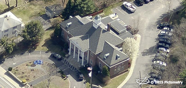
“It is about working smarter not harder,” stated Suzanne Kogut, Tax Assessor for Smithfield. “I have been a proponent of Pictometry [imagery] since our first flight in 2006 and it has nothing to do with the size of our jurisdiction but how well we serve our constituents. All jurisdictions should have aerial imagery and solutions for their governmental departments.”

Discover how EagleView made the Town of Smithfield #1 in assessment tech.

Read the Case Study

Press Inquiries

For media opportunities and other related press inquiries, please email

mediarelations@eagleview.com

Leadership

Explore photos and biographies of EagleView’s executive leadership team

Learn More