Government Webinar Hub
On-Demand Webinars
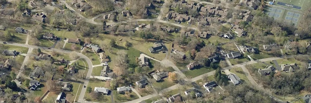
Eagleview 3D: Add Another Dimension to Planning and Analysis
State and local governments have a powerful new tool to help them plan and better serve constituents: Eagleview 3D. This solution delivers 3D digital twins and mesh datasets of chosen areas to transform engineering, urban design, public works services, and more. In this on-demand webinar, you get an in-depth look into how Eagleview 3D works and how governments use it — including a demo of the tool.
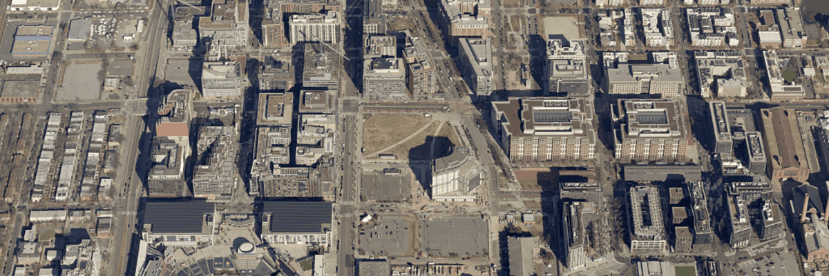
Bipartisan Infrastructure Law: Implementing Infrastructure Investments at the Local Level
The Bipartisan Infrastructure Law (BIL) provides a once-in-a-lifetime investment in U.S. infrastructure and many of the new programs include eligibility for local governments. In this on-demand webinar, Eagleview and the National Association of Counties (NACo) explore how local governments can unlock funding for infrastructure-related programs.

Uncovering Hidden Value: How Sketch Verification Helped Medina County Recover Millions in Tax Revenue
Every county has unrealized revenue hiding in its CAMA data. Sketch discrepancies are a silent source of tax roll inaccuracy—and fixing them doesn’t have to mean sending staff parcel to parcel.
Hear how Medina County, OH uncovered sketch errors in nearly half of their parcels using AI-powered sketch verification and high-resolution aerial imagery, resulting in nearly $40 million in newly identified taxable value – and $14 million in tax revenue.
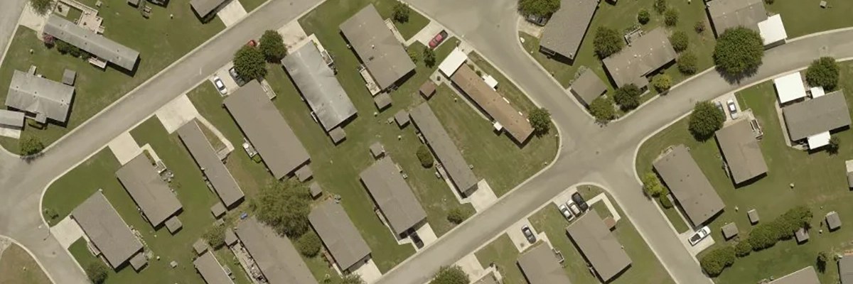
Next-Gen 911: Using Aerial Imagery to Improve Data Accuracy
Learn how high-resolution aerial imagery can be used to help identify and correct discrepancies in 911 data to achieve NG911 accuracy standards, improve effective response, operate in dispatch and response equipment & systems, and save lives.
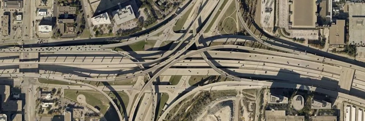
Certified Imagery for GIS and Planning Professionals
Join Eagleview’s Professional Practice Group for an in-depth look at the benefits and applications of certified high-resolution orthogonal aerial imagery for GIS and planning professionals. Viewers will get a behind-the-scenes look at two of our popular GIS offerings for orthogonal imagery: Certified Orthomosiacs and TrueTouch.
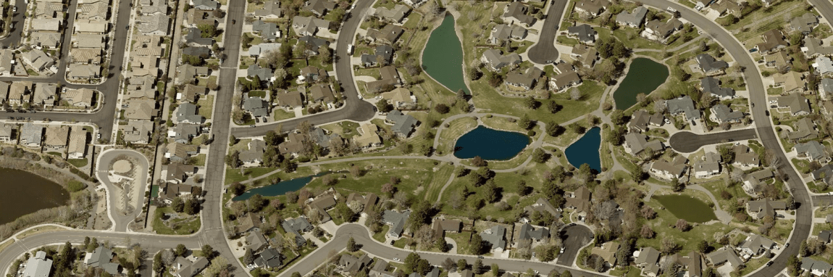
The Business Case For Upgrading to 1-Inch Imagery
Eagleview’s 1-inch GSD aerial imagery provides state and local governments with increased clarity and unmatched oblique views of properties, buildings, and government assets. Watch as Mike Schonlau, GIS Administrator for Douglas County, NE, details the cross-departmental benefits of 1-inch imagery for his staff and residents and how to build a business case for it within your organization.

Eagleview in Focus: Understanding our Commitment to GIS Professionals
Navigating the complex landscape of state and local government GIS demands can be challenging. With concerns ranging from data accuracy to disaster preparedness, it’s essential to have the right tools and partners in place. In this enlightening session, we explore how Eagleview’s cutting-edge solutions are tailored to address the unique challenges of state and local government GIS operations.