Geospatial intelligence software transforms aerial imagery into actionable property data. Instead of showing you a map, these platforms tell you the roof has 24 squares of architectural shingle, a 5/12 pitch, four penetrations, and visible granule loss on the south-facing slope. That distinction between "here's a picture" and "here's what the picture means" explains why the technology has spread from military applications into insurance, construction, solar, and real estate.
The market has exploded with options, but not all platforms deliver equal value. Some offer pretty images. Others deliver measurements, analytics, and integrations that actually change how organizations operate.
Key takeaways:
- Geospatial intelligence software extracts measurements, conditions, and property attributes from aerial imagery automatically, going far beyond what basic mapping tools provide.
- Insurance carriers, roofing contractors, solar installers, and government assessors use these platforms to reduce site visits, improve accuracy, and speed up workflows.
- When evaluating platforms, prioritize independently verified measurement accuracy, imagery resolution, coverage depth, and integration with your existing systems.
- Eagleview's library of 3.5+ billion images, 98.77% verified measurement accuracy, and direct integrations with tools like Xactimate make it the established leader for property applications.
This guide covers what geospatial intelligence software does, how different industries apply it, the technology that makes it work, and what separates platforms worth buying from commodity mapping tools.
Geospatial Intelligence vs. GIS Mapping Software
The word "intelligence" matters. Standard GIS tools display geographic information. Geospatial intelligence software derives insights from that information automatically.
| Feature | Basic Mapping Software | Geospatial Intelligence Software |
| Primary output | Maps and satellite views | Derived measurements, conditions and analytics |
| Roof assessment | Shows aerial view of the property | Provides pitch, area, facets, material type, and condition |
| Change detection | Manual comparison of images | Automated identification of new construction, damage, or modifications |
| Integration | Export capabilities | API delivery to claims, estimating, and CRM systems |
When an insurance adjuster needs to triage 500 storm damage claims, a satellite view doesn't help much. A platform that shows pre-storm baseline imagery alongside current conditions, highlights properties with visible damage, and delivers roof measurements directly into the claims system changes the economics of the entire operation.
How Geospatial Intelligence Software Works
Geospatial intelligence platforms combine multiple technologies to transform raw imagery into business-ready insights.
Aerial imagery capture
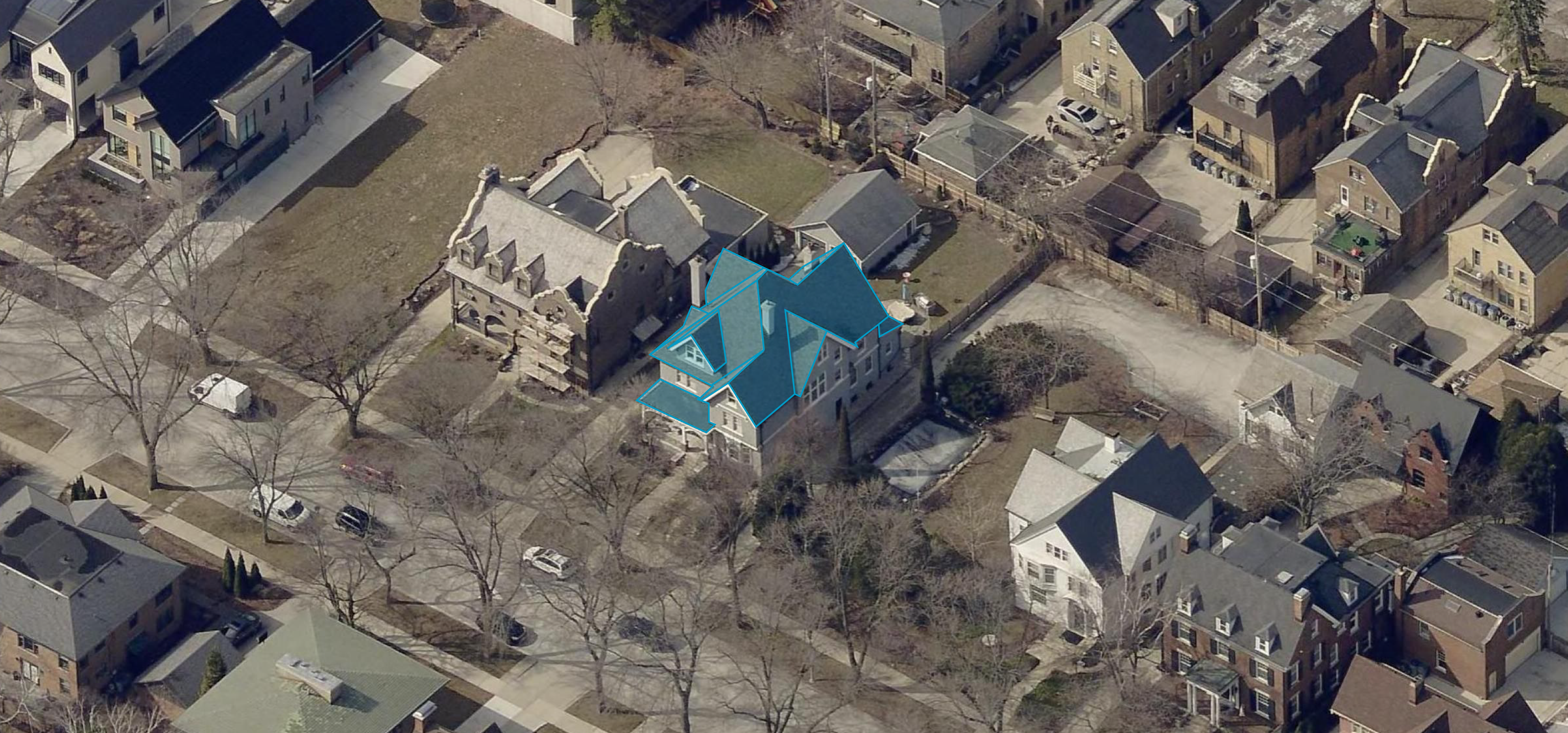
Manned aircraft remain the workhorse for large-scale coverage. Fixed-wing planes capture millions of properties per year at resolutions that reveal individual shingles. Top platforms capture both orthogonal (straight-down) and oblique (angled) imagery simultaneously, because you can't see a wall, window, or roof edge from directly above.
Drone technology fills different needs. Where manned aircraft capture regions, drones capture individual properties at extremely high resolution for detailed inspections. Autonomous flight paths ensure consistent image quality regardless of the operator's experience.
Satellite imagery covers vast areas but at resolution too low for most property applications. A satellite image might show that a building exists. It won't tell you whether the roof needs replacement.
AI-powered measurement and analysis
Raw imagery becomes intelligence through machine learning models trained on millions of property images. These models identify and measure:
- Roof dimensions (area, pitch, facets, ridges, valleys)
- Penetrations (vents, skylights, HVAC equipment, chimneys)
- Material types and conditions
- Wall measurements and window counts
- Damage patterns (hail impacts, wind damage, wear)
- Changes between image captures
Model accuracy depends entirely on training data volume. A model trained on thousands of images will struggle with unusual roof configurations. A model trained on billions of images recognizes virtually every residential and commercial roof type.
Workflow integration and data delivery
Insights trapped in standalone software don't reach the decisions they should inform. Property intelligence platforms connect to the systems where work actually happens: claims management platforms like Xactimate, estimating software, design tools like Aurora, and government CAMA systems.
The difference between basic data export and real integration shows up in daily workflows. With genuine integration, a contractor orders a report and measurements populate their estimating software automatically. Without it, someone manually transcribes numbers from a PDF.
Who Uses Geospatial Intelligence Software
Insurance carriers and claims adjusters
Property insurers face a fundamental challenge: they need accurate information about properties they can't physically inspect for every claim or policy decision.
Geospatial intelligence changes that equation. When a carrier receives thousands of claims after a major storm, adjusters can triage by comparing current imagery against pre-storm baselines, validate policyholder reports against what imagery reveals, pull accurate roof dimensions without waiting for a field visit, and deliver 3D roof sketches into Xactimate without manual input.
The economics shift dramatically. Instead of dispatching adjusters to every reported claim, carriers focus field resources where they're actually needed.
Underwriting uses the same property data to price policies accurately. Roof age indicators, condition assessments, and structural characteristics all affect risk. Insurers can evaluate these factors without site visits, which means better pricing on more policies.
Roofing and exterior contractors
Measuring properties accurately is foundational to contracting. The traditional approach requires driving to the site, climbing the roof, and spending 30-60 minutes taking manual measurements. That process doesn't scale, creates liability, and still produces errors.
Geospatial intelligence gives contractors detailed roof data before anyone visits the property: total roof area by facet, pitch measurements for each section, ridge and valley lengths, penetration counts and locations, plus wall, window, and door measurements for siding work.
A contractor reviewing an Eagleview report knows exactly what they're walking into. The site visit confirms the data and identifies conditions not visible from above rather than gathering basic measurements.
Solar installers and designers
Solar installers need everything contractors need plus requirements specific to system design: precise roof dimensions for panel placement, shading analysis from surrounding structures and vegetation, roof orientation for production calculations, and obstruction locations that affect installation.
Geospatial intelligence eliminates preliminary site visits for most solar sales. Using Inform solutions, installers generate accurate system designs from imagery data, qualify leads before committing field resources, and produce proposals that closely match what they'll actually build.
Change orders kill solar project margins. When the initial design matches reality, installers avoid redesigning systems after contracts are signed.
Government assessors and planners
Tax assessors and planning departments maintain records for millions of parcels. Field visits for every property aren't feasible.
Geospatial intelligence enables desk review at scale. Assessors identify new construction through change detection, verify permit compliance without site visits, reassess damaged properties after disasters, and maintain accurate property characteristics across entire jurisdictions.
Emergency management benefits from the same data. Current imagery supports search and rescue planning, damage assessment, and recovery coordination.
Not all geospatial intelligence platforms deliver equal value. These factors separate useful tools from expensive subscriptions that disappoint.
Imagery resolution and coverage
Coverage claims require scrutiny. A platform might advertise 90% U.S. coverage, but that number means nothing without understanding resolution, whether coverage extends to rural areas, imagery angles available, refresh frequency, and historical depth for change comparison.
| Factor | Questions to Ask |
| Resolution | Can you identify roof materials? Measure accurately? Detect damage? |
| Coverage type | Is coverage consistent across urban, suburban, and rural areas? |
| Imagery angles | Does the platform offer both orthogonal and oblique views? |
| Refresh frequency | How often is imagery updated? Can you request on-demand captures? |
Measurement accuracy verification
Every platform claims accuracy. Independent verification separates marketing from reality.
Ask for third-party testing results with specific error rates, not percentages from marketing materials. Measurement error compounds across estimates. A 2% error on each dimension becomes a larger error on total area. Over thousands of projects, small inaccuracies create significant cost variances in material orders.
Property data beyond measurements
Measurements are table stakes. Evaluate what additional intelligence the platform provides: condition assessment identifying damage patterns or wear, property attributes like story count and building footprint, change detection flagging new construction, and weather correlation matching conditions to documented events.
System integration options
How does the data reach your systems? Look for API access, pre-built integrations with software you already use, flexible export formats, and fast delivery after ordering.
For high-volume operations, the difference between automated integration and manual data transfer represents hours of labor per day.
Why Property Teams Choose Eagleview
Eagleview has spent more than two decades building the largest aerial imagery library for property applications.
Coverage and image quality
The numbers tell part of the story: 3.5+ billion high-resolution images covering 94% of the U.S. population, with historical archives extending back over 20 years. Eagleview captures both orthogonal and oblique imagery with patented camera systems, providing the multiple angles needed to assess roofs, walls, and property conditions.
Eagleview Cloud offers subscription-based access with resolution options ranging from 1-inch to 6-inch ground sample distance.
Verified measurement accuracy
Independent benchmark testing validates Eagleview measurements at 98.77% accuracy against LIDAR ground truth. That precision matters when estimates drive material orders worth thousands of dollars.
Industry-specific solutions
Eagleview delivers intelligence through purpose-built products:
For insurance: Measurement reports for claims processing, Eagleview Assess™ for drone-powered inspections, and property data packs for underwriting. Direct Xactimate integration enables 3D roof sketches to flow into estimates without manual input.
For contractors: Roof reports, Full House™ reports combining roof and exterior measurements, and condition data for restoration prioritization.
For solar: Inform solutions providing roof measurements with shading analysis. TrueDesign™ generates install-ready PV system designs from Eagleview data.
For government: Imagery and analytics for assessment, planning, and emergency response, with integration into major GIS and CAMA platforms.
Eagleview One™ represents the next evolution: a unified platform providing access to imagery, 3D visualizations, property data, and analytics through a single subscription.
Get Property Measurements Without the Climb
Every roof climb is a liability. Every manual measurement is a potential error. Every hour spent driving to properties is an hour not spent closing deals or settling claims.
Your competitors are already bidding faster, processing claims in half the time, and winning work while you're still scheduling site visits. The math is simple: teams using verified property intelligence handle more volume with fewer errors and less risk.
Eagleview puts 3.5+ billion property images, 98.77% accurate measurements, and direct workflow integration at your fingertips. No ladders. No windshield time. No second-guessing your numbers.
Ready to see what your team could do with instant access to any property in the country?
Request a demo and discover how much faster you could move.