
TL;DR High-resolution satellite imagery gives you information across large areas, but it can't deliver when the job requires a high level of detail, especially for properties and infrastructure.
High-resolution satellite imagery captures Earth from space at 30cm to 10m per pixel.
Satellite imagery works for tracking deforestation across continents, but you need aerial imagery when you need to see individual tree branches, equipment defects on utility poles, or structural damage on residential roofs.
High-Resolution Satellite Imagery: Seeing Buildings vs. Seeing Damage
A 30cm satellite pixel captures roughly one square foot. At this resolution, you’ll see building outlines and large vehicles, but you won't identify roof shingle damage or tell an oak from a maple. Step down to 50cm, and you get roads and parking lots minus the utility equipment details. Once you go to a 10m resolution, individual properties start to blur into city blocks.
| Resolution | What's Visible |
| 10-30m | Land cover, city blocks |
| 50cm | Buildings, parking lots |
| 30cm | Roof outlines only |
| Sub-5cm (Aerial) | Shingles, branches, defects |
High Resolution Satellite Imagery: Free vs Commercial Sources
Free Sources: USGS, NASA, NOAA
USGS EarthExplorer
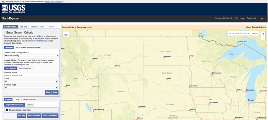
The U.S. Geological Survey (USGS) EarthExplorer gives you Landsat imagery at 15m to 30m resolution. A 30m pixel covers roughly 900 square meters. The data and maps update every 16 days as satellites pass overhead.
The program works for tracking large-scale land use changes, including monitoring crop health across farms and identifying urban development patterns.
NASA Worldview
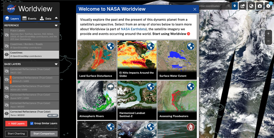
NASA Worldview uses MODIS satellites to capture 250m to 1km resolution daily. The system handles weather patterns, wildfire smoke tracking, and continental vegetation monitoring well, but lacks the resolution for infrastructure or property assessment.
NOAA Data Access Viewer
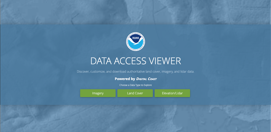
The National Oceanic and Atmospheric Administration’s (NOAA) Data Access Viewer provides imagery for weather forecasting and ocean monitoring at 500m to 4km resolution.
Commercial providers: Planet Labs, Maxar, Airbus
Planet Labs
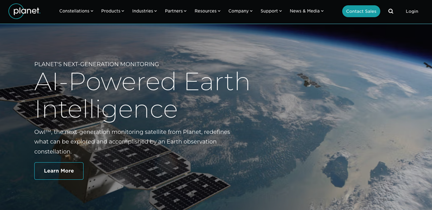
Planet Labs operates 200+ satellites capturing 3m to 5m resolution imagery daily. Their SkySat constellation reaches 50cm resolution but costs $20+ per square kilometer with minimum order requirements. Daily updates work for tracking construction progress or agricultural changes.
Vantor (formerly Maxar Intelligence)
Vantor rebranded in October 2025 after Maxar Technologies split into two entities following a 2023 acquisition by Advent International. The company operates high-resolution satellites capturing 30cm to 50cm resolution imagery, serving government and commercial clients with its WorldView satellite constellation.
Eagleview
Eagleview provides aerial imagery at resolutions 70 times sharper than satellite data. Captures individual roof shingles, tree branches within feet of power lines, and equipment mounting details on utility poles.
Integrates with GIS systems, work order management, and claims processing for utilities, insurance carriers, construction firms, and government agencies requiring property assessment that satellite resolution can't deliver.
Which Industries Need High Resolution Aerial Imagery vs High Resolution Satellite Imagery?
At 30cm per pixel, satellites capture building footprints and parking lots. Aerial resolution of sub-5cm reveals individual roof shingles and equipment defects.
Industries needing high-resolution aerial imagery
Utilities
Vegetation managers identify tree species, measure branch diameters, and calculate precise clearances between conductors. While satellites capture tree canopy coverage across corridors, aerial resolution identifies which specific branches threaten conductors and eliminates most ground patrols.
Insurance
Adjusters document missing shingles and structural defects requiring repair. Aerial property reports process in under 24 hours after capture, delivering measurements within 1-2% of manual field measurements without site visits.
Construction
Weekly aerial surveys during active construction phases catch specification violations before concrete pours or roofing installation.
Municipal planning
City planning departments enforce setback violations where the margin of error in 30cm satellite pixels exceeds code requirements. Aerial delivers survey-grade data without deploying ground crews.
Environmental consultants
Property-specific environmental impact documentation requires aerial resolution for wetland delineation, stream bank erosion assessment, and vegetation encroachment into protected areas.
In the aftermath of Hurricane Helene in 2024, aerial imagery captured 1-inch GSD imagery for recovery efforts. Resolution of this kind is at the forefront of GeoAI aerial imagery and led to relief programs and emergency response across affected areas.
Agricultural monitoring
Large farming operations track crop health across thousands of acres. Aerial imagery measures reforestation progress and calculates canopy closure rates.
High Resolution Aerial Imagery vs High Resolution Satellite Imagery: Property and Infrastructure
Resolution and capture advantages
| Attribute | Satellite Imagery | Aerial Imagery |
| Resolution | 30cm-10m | Sub-5cm |
| Detail Level | Buildings, roads | Shingles, branches, equipment |
| Damage Visibility | Not detectable | Clearly visible |
| Weather Impact | Blocked by clouds | Flies below clouds |
| Use Scope | Regional trends | Property-specific analysis |
Aerial imagery that captures at 70 times better resolution than satellite data lets you see individual roof shingles, equipment mounting details on utility poles, tree branches near power lines, and structural defects requiring repair. Satellites track general conditions across regions. Aerial pinpoints specific problems at exact locations.
Satellites photograph straight down from fixed orbits on predetermined schedules. Cloud cover blocks views, forcing you to wait for clear conditions. Aerial surveys are scheduled around weather and fly below cloud cover at angles capturing building sides and equipment mounting.
Aerial imagery also uses near infrared (NIR) and generates 3D point clouds, calculating roof dimensions, vegetation clearances, and building heights from multiple image angles.
Update frequency and scheduling
Satellite providers update coverage every few days to weeks, depending on location and cloud cover.
Aerial surveys are scheduled on your timeline. Utilities capture annual imagery to track vegetation growth and construction projects photograph weekly during active building phases.
Integration
Aerial providers deliver shapefiles, KML, and GeoTIFF formats that load directly into Esri ArcGIS, Trimble, and Bentley systems. Data streams into work order platforms and claims management software without preprocessing.
Satellite imagery requires georeferencing and coordinate system conversion before integration, adding 2-4 days to delivery timelines.
Move from High Resolution Satellite Imagery to Aerial Imagery with Eagleview
Eagleview's aerial imagery captures at 70 times better resolution than satellite imagery.
Oblique angles capture building sides and equipment mounting. 3D modeling calculates roof dimensions and vegetation clearances. Flexible scheduling means coverage when you need it, not when satellites pass overhead.
3D digital twin models reproduce details for property and infrastructure assessment.
Want to see how Eagleview's resolution performs?
Contact Eagleview to see how aerial imagery delivers data in your industry.