The
Louisville/Jefferson County Information Consortium (LOJIC) serving the Louisville Metro and Jefferson County areas. This spring, they will acquire new aerial imagery and updated GIS data through EagleView.
EagleView and the Jefferson County PVA will work together to provide imagery, LiDAR elevation data, and updated planimetric, hydrographic and topographic mapping for Jefferson, Oldham and Bullitt counties through the consortium.
The new aerial photography will be 3-inch resolution (2016 aerial photography was 4-inch) and LiDAR points will be sub-meter spacing and classified as bare earth, high-medium-low vegetation, buildings and water bodies. Flights to capture the aerial photography and LiDAR data covering the nearly 1,000 square mile area will begin in late March/early April with final delivery of the aerial photography and LiDAR data this fall.
Find out more and read the rest on LOJIC's website.
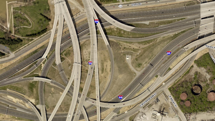
(Image courtesy of LOJIC.org)