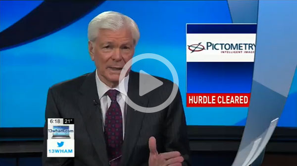
13WHAM: Slaughter Resolves Federal Regulatory Hurdle for Rochester-based Pictometry

13WHAM Interviews Pictometry’s Scott HIll about the Congresswoman’s support.
ROCHESTER, N.Y. – Today, Congresswoman Louise Slaughter (D-N.Y.) announced a victory for Rochester-area business Pictometry Intelligent Images. Rep. Slaughter helped Pictometry cut through red tape with the Federal Aviation Administration (FAA) in securing approvals for their pilot-operated imaging aircraft to enter border airspace.
“Everyone knows I’m bullish on Rochester businesses and one of my top priorities is helping them cut through red tape,” said Rep. Slaughter. “I am proud of the high-tech work these 200 local workers are doing to provide precise data for their customers who rely on Pictometry imaging for commercialization, economic development, and a wide variety of other purposes.”
During the last year, Pictometry held large government contracts to capture high resolution imagery of the southern counties of Texas along the Rio Grande. Pictometry encountered difficulty accessing parts of the southern border due to restrictions in Mexican airspace. When Pictometry faced a critical road block and needed assistance from the FAA in gaining permission to fly their imaging aircraft in Mexican airspace, Scott Hill, in charge of Pictometry flight operations at the time, approached Congresswoman Louise Slaughter for help in finding a solution to the dilemma.
“Congresswoman Slaughter connected us with the right FAA officials who could facilitate the necessary approvals,” stated Hill. “With over 200 of the company’s 500 employees located in Rochester, many jobs were supported by her involvement. Being able to accurately and consistently fly and capture imagery for all parts of the U.S. is critical to our company’s success. She truly supported a Rochester business that continues to make a difference nationally.”
The United States’ borders are strategically significant to gathering precise data for economic development, environmental planning, public safety and other purposes for local, state and federal governments. Accessing aerial photographs of the borders is critical for Pictometry’s customers and is a unique area in which the company excels.
With over 14 years capturing aerial imagery, Rochester-based Pictometry, part of EagleView Technology Corporation, has captured 300 million aerial images. Benefitting from a strong relationship with the FAA, the Pictometry team has captured imagery in every part of the United States, including international borders. They employ over 200 people locally.
One of Pictometry’s first customers was Monroe County, who it has worked with since 2001.
Pictometry Intelligent Images are geo-referenced, high-resolution aerial imagery that is captured both in oblique and ortho perspectives. The technology provides the ability to not only gather aerial imagery, but to obtain intelligent data from those images which, in turn, supports leading change detection applications for customers. The company is a leader in the ability to deliver highly accurate change data year-over-year for individual properties or parcels. “We serve the government, and commercial segments, including insurance, infrastructure and construction,” continued Hill. “All types of governmental agencies and industries count on us to provide the highest quality imagery and from that imagery extract data for important analysis of property change. The congresswoman’s support was and continues to be invaluable.”
