 Assets staged surrounding targeted areas for rapid post-storm response
Bothell, WA (September 14, 2018
Assets staged surrounding targeted areas for rapid post-storm response
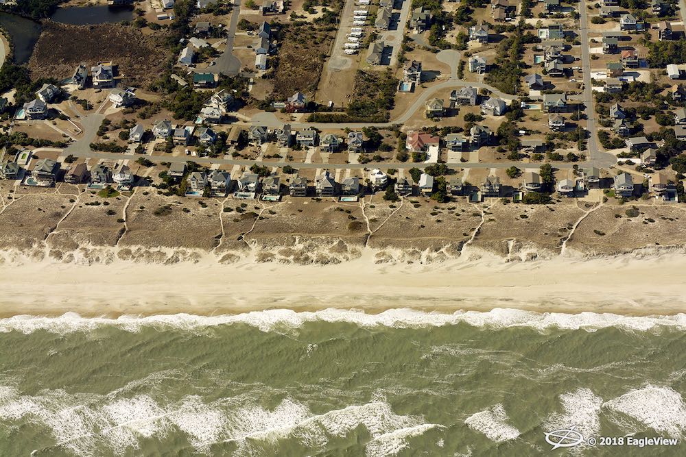
Bothell, WA (September 14, 2018) – Eagle View Technologies (“EagleView®”), the leading provider of aerial imagery and property data analytics for the government, insurance and commercial sectors, has resources staged and ready to capture imagery of areas that may be affected by Hurricane Florence. EagleView will begin post-event high-resolution
Pictometry® imagery capture efforts immediately once the Federal Aviation Administration (FAA) grants permission into the airspace.
EagleView is currently working with its customers across multiple segments to identify high-impact areas and prepare flight plans that respond to customer needs. The EagleView OnSite™ drone network is also being positioned throughout affected areas for post-storm data collection.
EagleView OnSite delivers imagery from multiple camera sources directly to insurance claims adjusters’ desks following a weather event. With pre- and post-event imagery and data, adjusters can add dynamic annotations to individual property files for complete analysis and understanding of the damage seen to the property, translating to faster closing of claims.
In addition to insurance carriers, government agencies and electric utility companies can also utilize the imagery to virtually inspect their assets or properties, and to begin their response planning. For example, following Hurricane Harvey in 2017, EagleView provided crucial data to local emergency management offices assisting in rapid response to the storm. Assessor’s offices utilized the information as a way to quickly begin assessing property damage throughout their jurisdictions.
“With Hurricane Florence expected to hit several states on the East Coast, we believe it is critical to have our resources staged around each of those areas and ready for immediate flight once the storm passes,” stated Jay Martin, EagleView COO. “We have teams and on-staff meteorologists dedicated to tracking and projecting potential damaging weather events, such as Hurricane Florence, year-round so we’re able to help our customers as quickly as possible when storms occur.”
Rapid Access™, a solution created by EagleView to expedite image delivery in post-storm event situations, makes imagery available on the
CONNECTExplorer™ platform.
“Our customers in the affected areas look to us for support in this time, and we take that responsibility very seriously,” stated EagleView CEO Rishi Daga. “We aim to provide post-event imagery rapidly to help not only our customers in all segments but ultimately help victims get on their feet and return to their homes faster following the storm.”
With nearly 20 years of relationships with air traffic control centers, EagleView plans to be the first in flight for capture.
For more information regarding post-event solutions and data analytics from EagleView, please contact Melissa Mazurek at
melissa.mazurek@eagleview.com or (585) 444-2504.
About EagleView
EagleView is the leading provider of high-resolution aerial imagery, property data analytics and structural measurements for government agencies, insurance carriers, roofing contractors and energy utilities. Using patented image capture techniques, 3D aerial measurement software and machine learning processes, EagleView helps customers answer questions related to millions of properties throughout the world. With a 60-petabyte library of oblique and orthogonal Pictometry® aerial imagery dating back to 2001 and the capacity to process tens of thousands of roof measurement reports per day, EagleView enables organizations to reduce field visits and adopt faster, safer and more cost-effective workflows. For more information, contact (866) 659-8439 or visit
www.eagleview.com.