Flight assets staged to capture imagery surrounding high-impact areas
Bothell, WA (October 10, 2018) – Eagle View Technologies (“
EagleView®”), the leading provider of aerial imagery and property data analytics for the government, insurance and commercial sectors, has staged multiple image capture resources in preparation for the impact of Hurricane Michael. With fixed-wing aircraft already in place, EagleView will begin its capture of post-event
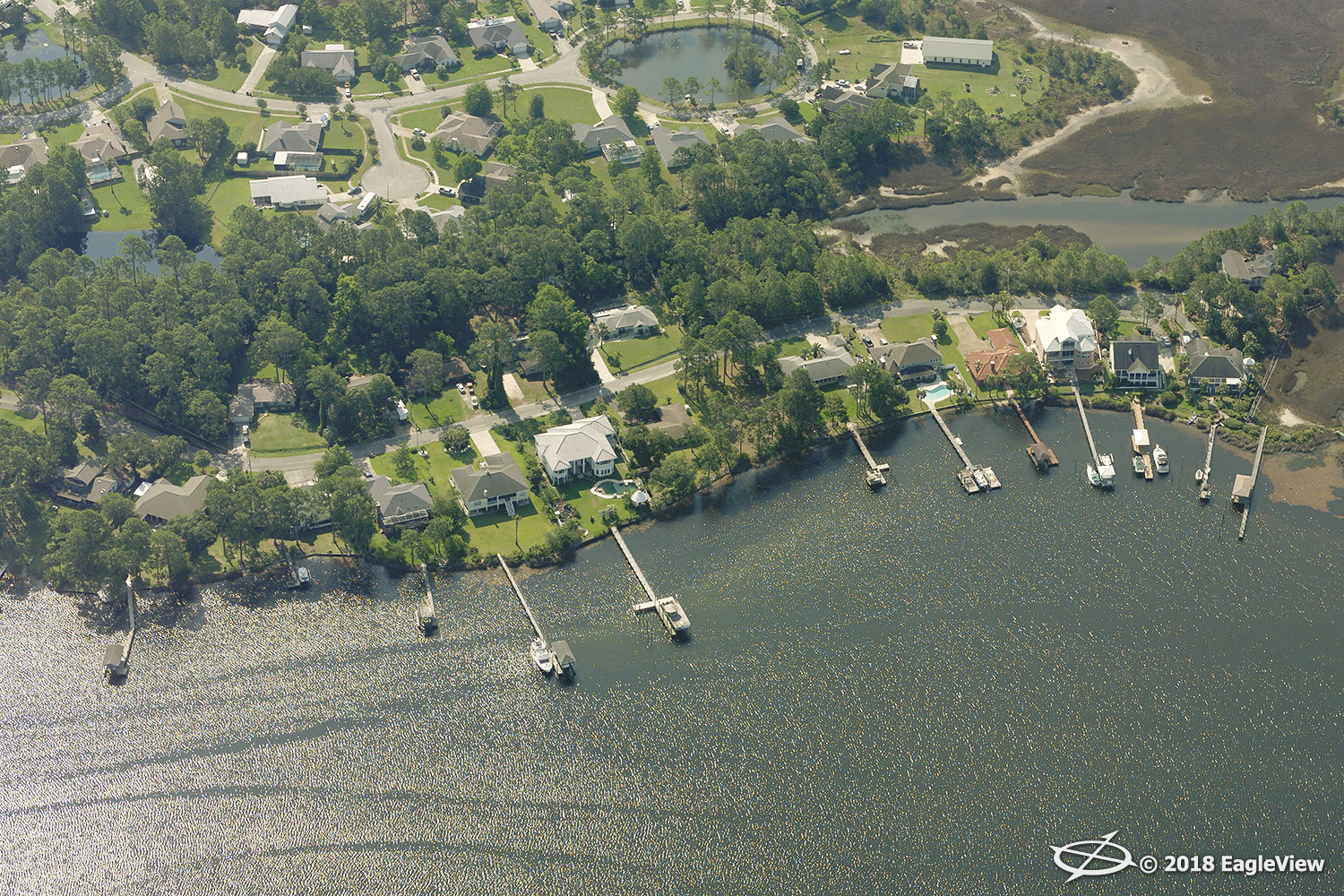
REVEAL imagery captured at a high-resolution 0.75-inch GSD (ground sample distance) directly following admittance into the airspace by the Federal Aviation Administration (FAA).
EagleView is actively communicating with its customers across multiple segments to identify the areas in the storm’s path and prepare flight plans that correspond with these areas and address customer concerns.
With an in-house meteorologist and storm response team, EagleView has been monitoring the storm and planning image capture since the first notification of the weather event. EagleView has also activated its EagleView OnSite™ drone network to plan capture efforts in the affected states.
EagleView OnSite enables insurance carriers to close claims faster by providing virtual solutions. EagleView brings together high-resolution imagery from multiple camera sources and comprehensive property data and reports, and delivers the information right to the desks of insurance claims adjusters following a weather event. This end-to-end
virtual property inspection solution provides adjusters with answers derived from advanced machine learning technology, enabling adjusters to make informed decisions about any given property post-storm.
Government agencies and electric utility companies rely on EagleView’s high-resolution imagery to coordinate response efforts and monitor assets before and after a storm.
“Our teams are highly prepared and trained to respond to events such as Hurricane Michael,” said EagleView COO Jay Martin. “As the storm emerges on the radar, our in-house team monitors its movements while simultaneously preparing our assets and activating our drone network, so that we can be staged and ready to take flight as soon as we receive FAA clearance.”
At press time, the storm was rated a Category 4 by the National Hurricane Center, with sustained winds of up to 140 miles per hour, and is expected to be one of the most severe storms ever to hit the Florida Panhandle. Florida, Alabama, Georgia, and the Carolinas are predicted to see the greatest impact from the storm. With multiple assets staged to cover the entire areas of interest, EagleView has the scalability to respond to Hurricane Michael like no other company.
Following major weather events, EagleView makes its RapidAccess imagery available on the
CONNECTExplorer™ imagery platform as soon as 24 hours after its capture.
“We continuously work to perfect our disaster response process because we know our imagery and data will ultimately lead to a quicker recovery for those impacted,” stated EagleView CEO Rishi Daga. “Our team mobilizes and works together with a sense of urgency to help not only our direct customers, but also the people and communities affected by these natural disasters.”
EagleView has maintained relationships with air traffic control centers for nearly 20 years and plans to be the first in flight for image capture once Hurricane Michael passes.
For more information regarding post-event solutions and data analytics from EagleView, please contact Melissa Mazurek at
melissa.mazurek@eagleview.com or (585) 444-2504.
About EagleView
EagleView is the leading provider of high-resolution aerial imagery, property data analytics and structural measurements for government agencies, insurance carriers, roofing contractors and energy utilities. Using patented image capture techniques, 3D aerial measurement software and machine learning processes, EagleView helps customers answer questions related to millions of properties throughout the world. With a 60-petabyte library of oblique and orthogonal Pictometry® aerial imagery dating back to 2001 and the capacity to process tens of thousands of roof measurement reports per day, EagleView enables organizations to reduce field visits and adopt faster, safer and more cost-effective workflows. For more information, contact (866) 659-8439 or visit
www.eagleview.com.