Two days ago, we highlighted drone-based images outlining and identifying the damage caused in Dallas with the recent storms. EagleView has followed up our drone imagery with a complete capture of the impacted areas in Dallas with our fixed-wing imagery.
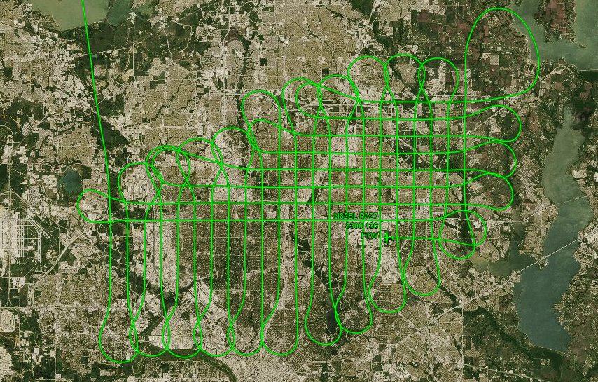 Our fixed-wing aircraft's flight plan over Dallas
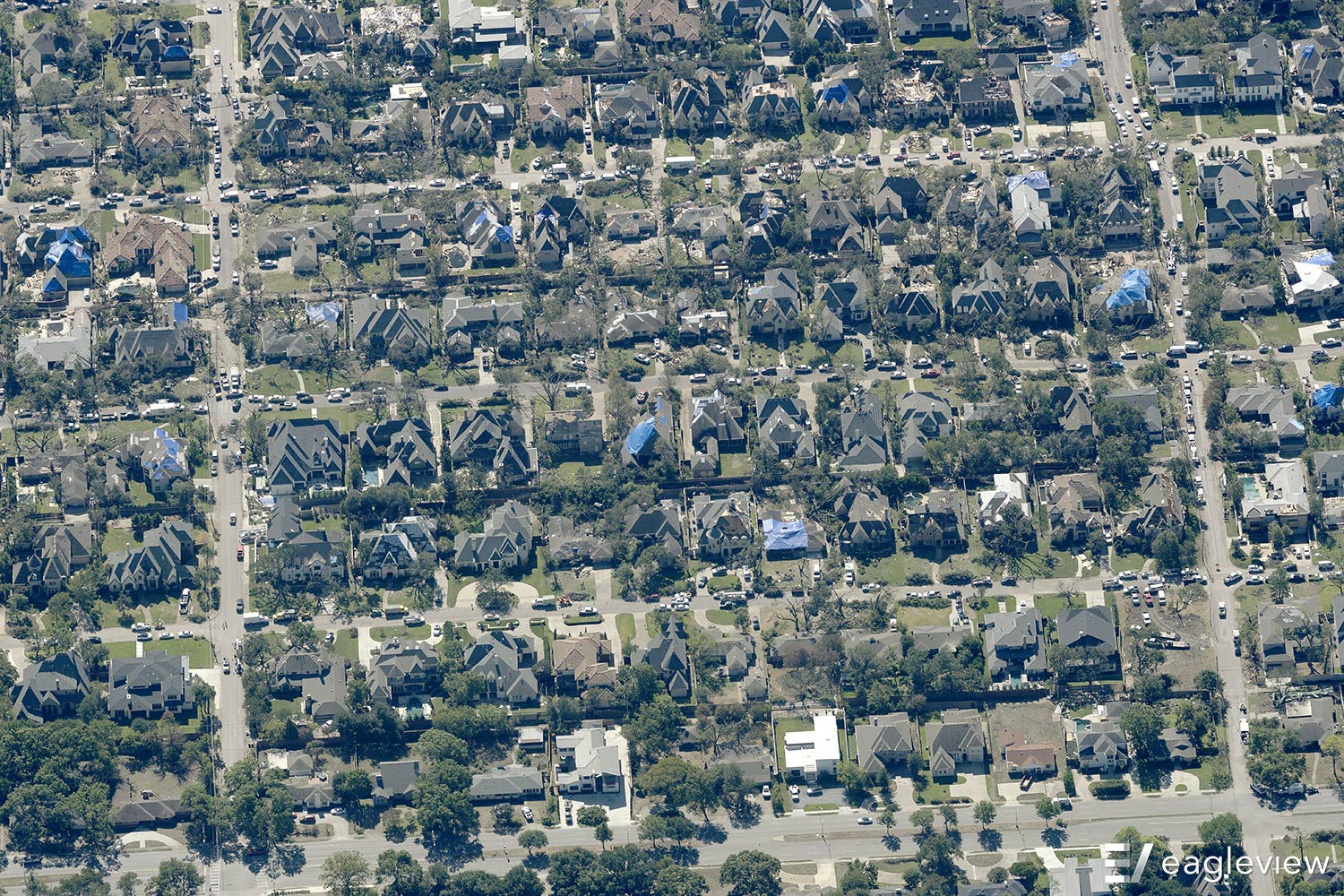
During its flight path, as shown above, our fixed-wing aircraft captured images illustrating the widespread property destruction following the storm in Dallas:
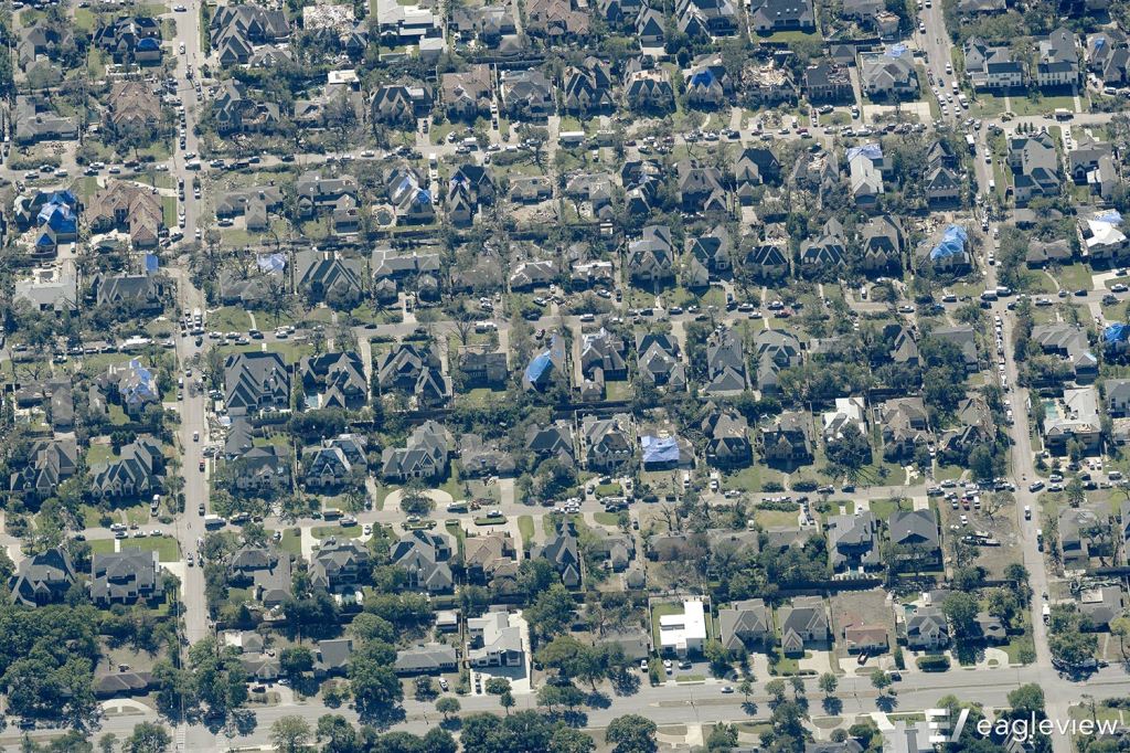 Blue tarps indicate damaged roofs
In order to help with recovery and rebuilding efforts, we have donated our imagery for free to the Dallas market. To learn more about our products that can support these efforts, please visit our Solutions page.