GeoComm, Inc.
GeoComm provides public safety grade location data and maps that partners embed to bring operational context and trusted location intelligence into critical workflows.
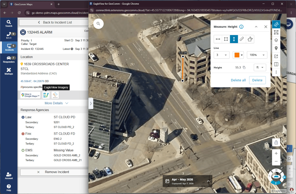
The Power of GeoComm + Eagleview
By making this imagery available within GeoComm Maps Solution, users can access location intelligence and aerial context within a more connected mapping workflow rather than relying on separate sources of information. Together, GeoComm and Eagleview help provide a clearer operational picture that supports situational awareness and more informed decisions across public safety and government workflows.
Key Focus Areas:
- Enhanced Situational Awareness
- High-Resolution Aerial Context
- Integrated Mapping Workflows
How GeoComm and Eagleview Integrate
GeoComm Maps Solution incorporates Eagleview aerial imagery to provide additional visual context alongside public safety grade location data and maps, helping users better understand incident locations, surrounding infrastructure, and operational conditions.

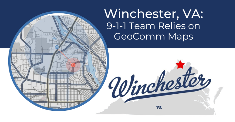
Winchester, VA: 9-1-1 Team Relies on GeoComm Maps
Winchester, VA’s 9-1-1 team relies on GeoComm Maps for fast, reliable call processing and accurate emergency response.
GeoComm Maps: Visualizing Public Safety Location Intelligence
GeoComm Maps is a secure, cloud-based mapping solution that helps public safety agencies improve location intelligence, situational awareness, and emergency response.
Ready to get started?
Find training, product, and contact resources for this partnership below.
Integration Request or Inquiries
Email your Eagleview Technical Account Manager (TAM).
GeoComm Technical Support
Reach out to GeoComm technical support.
GeoComm Sales Inquiries
Reach out to the GeoComm team.