Eagleview Reveal®
Eagleview Reveal is the source.
Clarity. Confidence. Consistency.
Across industries, success depends on a clear understanding of what’s happening on the ground. Whether you’re assessing property, planning development, or responding to change, you need imagery that’s current, accurate, and consistent.
Eagleview Reveal® was built to meet that demand. With an annual refresh at 2-inch GSD and the option to upgrade to Eagleview’s industry leading upgrade to 1-inch GSD imagery, Eagleview Reveal® provides a dependable visual foundation you can trust, year after year.
Backed by decades of experience and a robust capture network, Eagleview Reveal® delivers the clarity required to make confident decisions and the consistency needed to support ongoing operations. And when your needs evolve, Eagleview Reveal® evolves with you: scale coverage, enhance resolution, or tap into derived data products with ease.

See More. Know More. Do More.
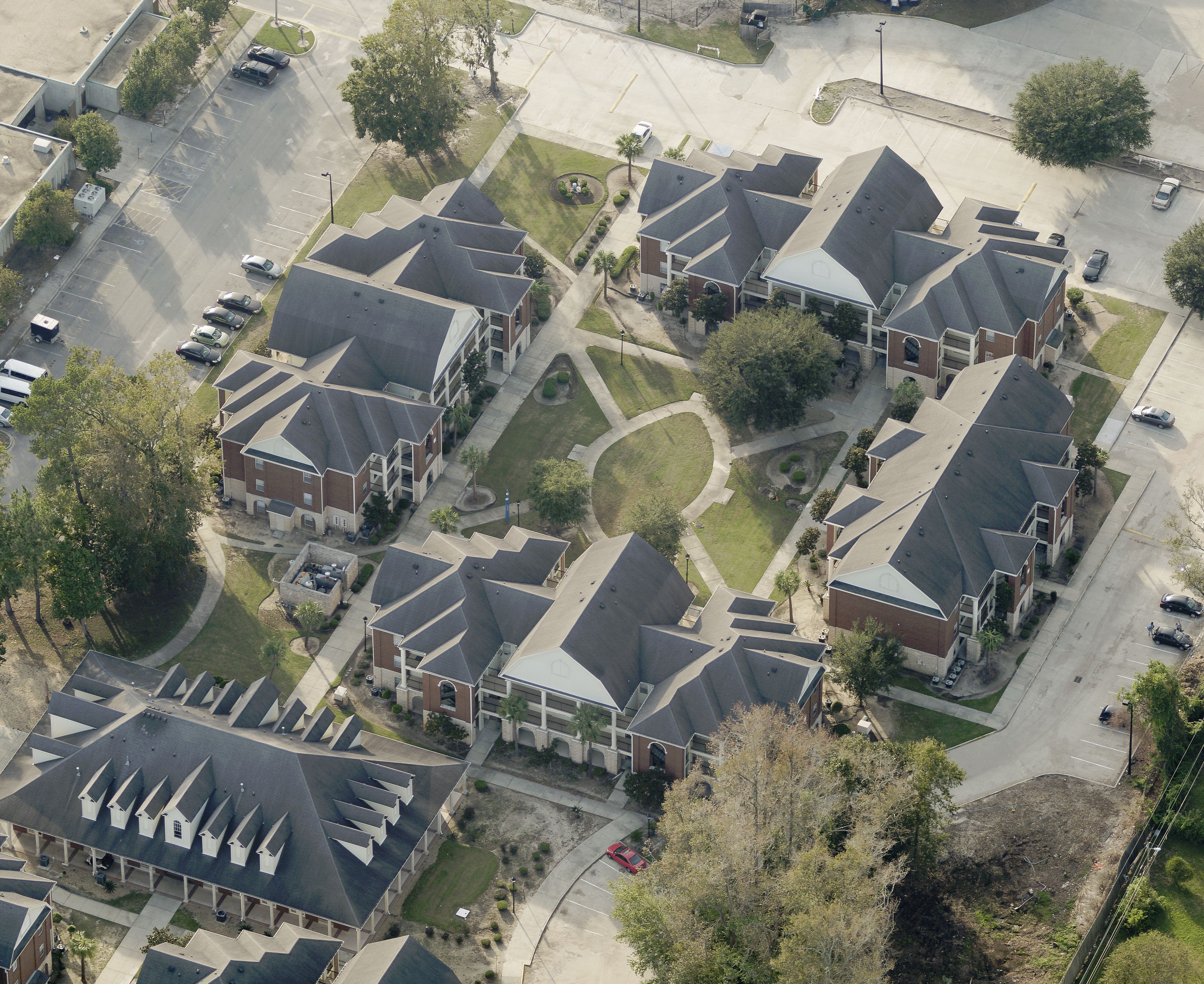
High-resolution 1″ and 2″ imagery helps organizations visualize, assess, and act with clarity, reducing field visits and improving decision-making across teams.

A Platform for Insights
From imagery to analysis to application, Eagleview Reveal® delivers the foundational data layer that powers smarter workflows and data-driven outcomes.

Proven at Scale
Backed by 25+ years of aerial imagery expertise and a living library of over 3.5 billion images, Eagleview Reveal® delivers quality and consistency you can trust.
Key Capabilities
High-Resolution Oblique and Orthogonal Aerial Imagery
Orthogonal imagery offers a straight-down view ideal for mapping and measurement, while oblique imagery delivers angled perspectives to visualize building sides and infrastructure with greater clarity and dimensional context.

How It Works
Getting started is easy:

Subscribe to Eagleview Reveal®
Choose the right tier for your needs:
- 2-inch GSD Annual Base
- 1-inch GSD Upgrade

We Fly Your AOI
Your area is added to our annual flight plan and we consistently deliver your imagery and data.

Access and Integrate Instantly
Access your imagery in Eagleview Explorer or through API connections to your GIS, CAD, CAMA, or analytics tools.

Scale as You Go
Need more detail or faster refresh? Easily upgrade your resolution, increase capture frequency, or add derived data products on your schedule.
Why Eagleview Reveal®

Annual Access to 1-Inch GSD Imagery
Eagleview is the only provider capturing and delivering 1-inch (2.5cm) GSD aerial imagery at scale, giving Eagleview Reveal® subscribers the highest-resolution foundation available today.

25+ Years of Imagery Expertise
With more than 3.5 billion images in our archive, Eagleview Reveal® is built on decades of aerial capture, photogrammetry, and data delivery experience.

Seamless Platform Integration
Imagery is available instantly through Eagleview Explorer or integrated directly into your existing tools and workflows via API.

Trusted Across
Sectors
Used by governments, commercial enterprises, and technology partners to drive smarter decisions and better outcomes.