Eagleview Vault™
Comprehensive and Continuously Expanding
Eagleview Vault™ offers instant access to more than 25 years of high-resolution orthogonal and oblique aerial imagery covering 96% of the US population and growing coverage across Canada.
New content is added daily ensuring your insights stay as current as your needs. Whether you’re comparing decades of change or validating today’s conditions, Eagleview Vault™ delivers dependable location intelligence that’s always on.
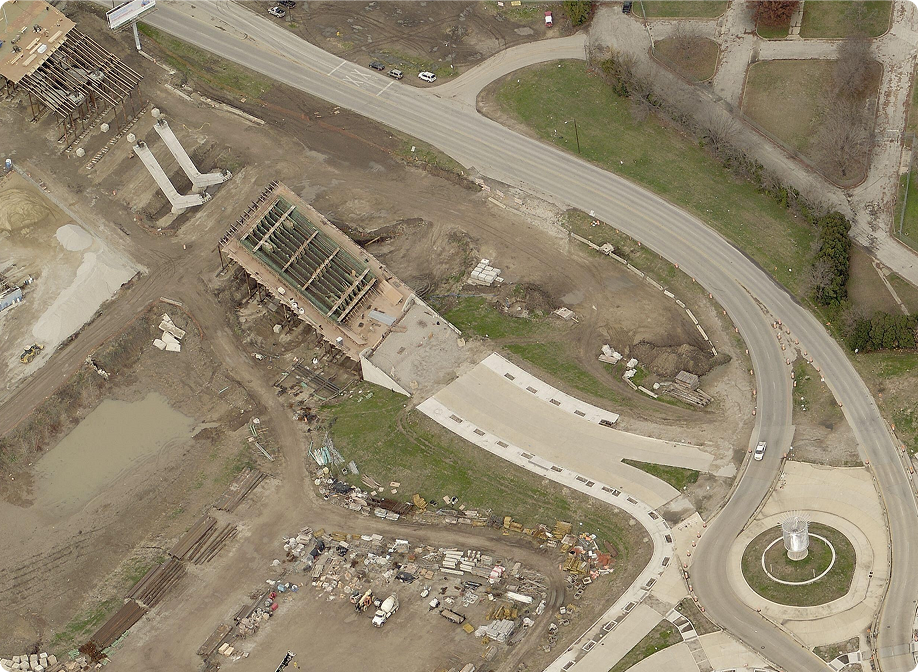
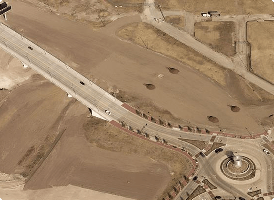

25+ Years of Imagery
Access 25+ years of high-resolution aerial imagery covering 96% of the U.S. population

Updated Daily
Updated daily with fresh content and annual refreshes in major metros and growth areas

Directly Integrated
Integrated directly into your workflows through Eagleview Explorer or API access
Key Capabilities
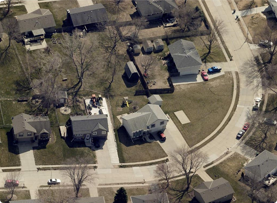
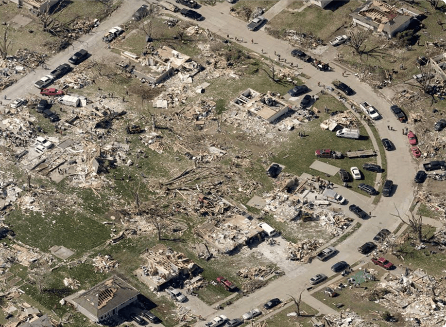
Compare Before and After
Quickly access pre- and post-disaster imagery to assess damage, support emergency response, and communicate with stakeholders.
How It Works
Getting started is easy:

Choose Your Subscription
Select the access model that fits your needs, including imagery by individual image, by parcel, or by area of interest.

Browse and Search
Log in to Eagleview to instantly browse current and historical imagery across your AOI or access it through API in your preferred software.

Compare and Analyze
View imagery side by side across multiple years or seasons to support unlimited use cases.

Download or Integrate
Export imagery for use in reports or applications, or seamlessly integrate into your GIS, planning, insurance, design or analytics platforms.
Why Eagleview Vault™

Depth and
Coverage
Access over 25 years of high-resolution oblique and orthogonal imagery across 96% of the U.S. population.

Continuously
Updated
New content is added daily, with annual refreshes across metro areas and high-growth regions.

Flexible, Scalable Access
Subscribe by image, parcel, or square mile with the ability to add access as needs change.

Enterprise-Ready Integration
Seamlessly view imagery in Eagleview Explorer or integrate directly into your GIS, analytics, planning, or insurance platforms.

Trusted Across Sectors
Used by governments, insurers, utilities, AEC firms, and environmental professionals to power smarter decisions over time.