Clear and Detailed Aerial Imagery for Property Assessment
Better Images. Better Data. Better Decisions
Eagleview’s high-resolution aerial imagery, which meets IAAO standards, helps assessors be accurate and make confident decisions.

Clear and Detailed Aerial Imagery
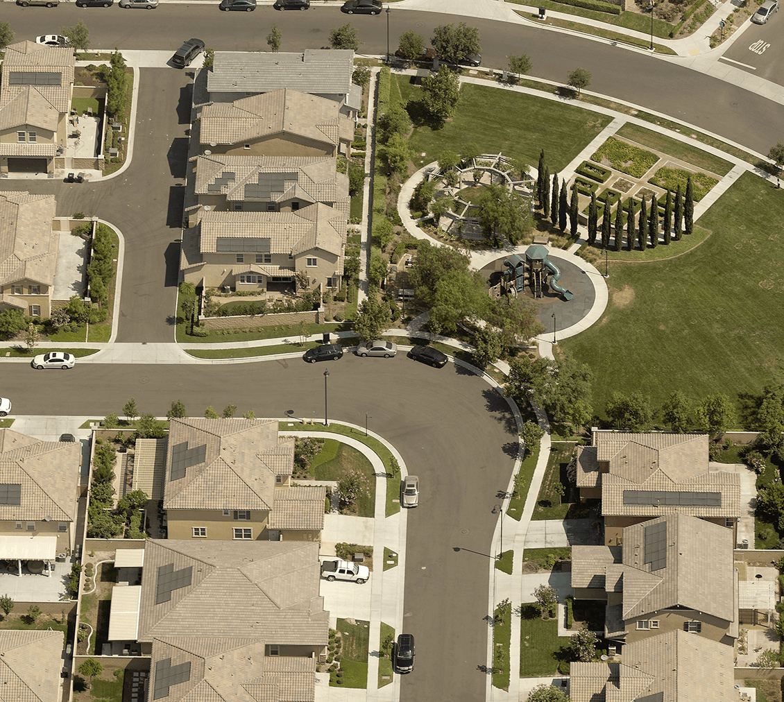
Using sophisticated cameras and flying at low altitudes, we capture clear and detailed aerial images that make it easy to see important property features.

Oblique Images
See properties from all four cardinal directions—north, south, east and west— and gain a complete aerial perspective.

Accurate Property Data
Our property data is generated from precise geographic information, so you can be confident in your data and measurements.

Easy-to-Use Software
With built-in-tools to measure distance, height and area, our software makes it easy to analyze properties using a computer.

CAMA System Integrations
Our aerial imagery integrates with CAMA systems providing the convenience of working in one system.

Supports Change Detection
Compare multiple image captures over time to identify property changes, verify sketches and keep assessment records accurate and up to date.
Analytics Tools to Enhance Property Assessment
Property assessment is easier with our transformational sketch verification and change detection products.
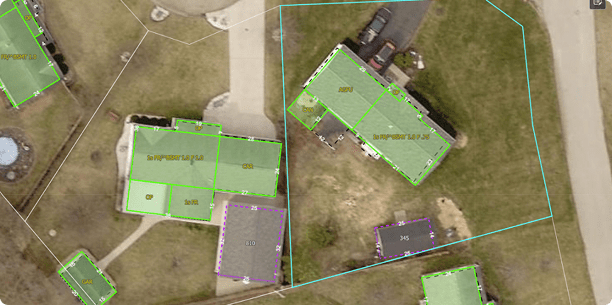
Sketch Inspect
Find inaccurate and missing property sketches for homes and parcels using aerial imagery, CAMA system records and automation.
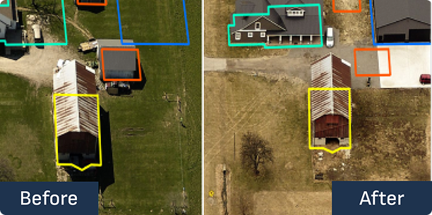
ChangeFinder
See property changes by comparing images and building outlines from two different years.
Our Aerial Imagery Meets IAAO Standards
The International Association of Assessing Officers (IAAO) maintains technical standards for using computer-aided processes and aerial imagery to support fair and equitable property valuations.
Eagleview’s aerial imagery meets IAAO’s recommendations for using aerial photography for property appraisals. IAAO’s recommendations* include:
- Orthophoto images that are at least 6-inch pixel resolution in urban/suburban and 12-inch resolution in rural areas, updated every 2 years in rapid-growth areas or 6-10 years in slow-growth areas
- Low-level oblique images capable of being used for measurement verification, captured from four cardinal directions with a minimum 6-inch pixel resolution in urban/suburban and 12-inch pixel resolution in rural areas, updated every 2 years in rapid growth areas or 6-10 years in slow-growth areas
*Standards noted in IAAO Standard on Mass Appraisal of Real Property (2017)
Why Eagleview
High-resolution aerial imagery helps public safety teams work effectively.
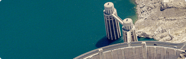
Finding $95 million In Additional Market Value In Arizona
Mohave County, Arizona, used aerial imagery to identify porches, garages, pools, and additional living areas for additional market value.
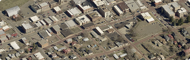
Case Study: Three Months, $14 Million in Value Added in Las Animas County
Las Animas County, Colorado, quickly and accurately assessed high-growth areas using aerial imagery.
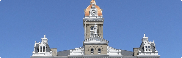
Jefferson County Finds Almost $3.5 Million in Unrecorded Property Value
Jefferson County, Nebraska, generated $50,000 in additional tax revenue, which will be distributed across the county, cities, and schools.
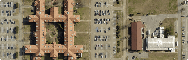
Santa Fe County Assessor Improves Transparency with Eagleview Imagery
Santa Fe County, New Mexico, used Eagleview imagery to complete assessments with a reduced team.