EagleView Out in Front Capturing Imagery of Hurricane Michael Damage Fewer than 18 Hours After Landfall

Technology leader has begun post-event, ultra-high-resolution aerial imagery capture
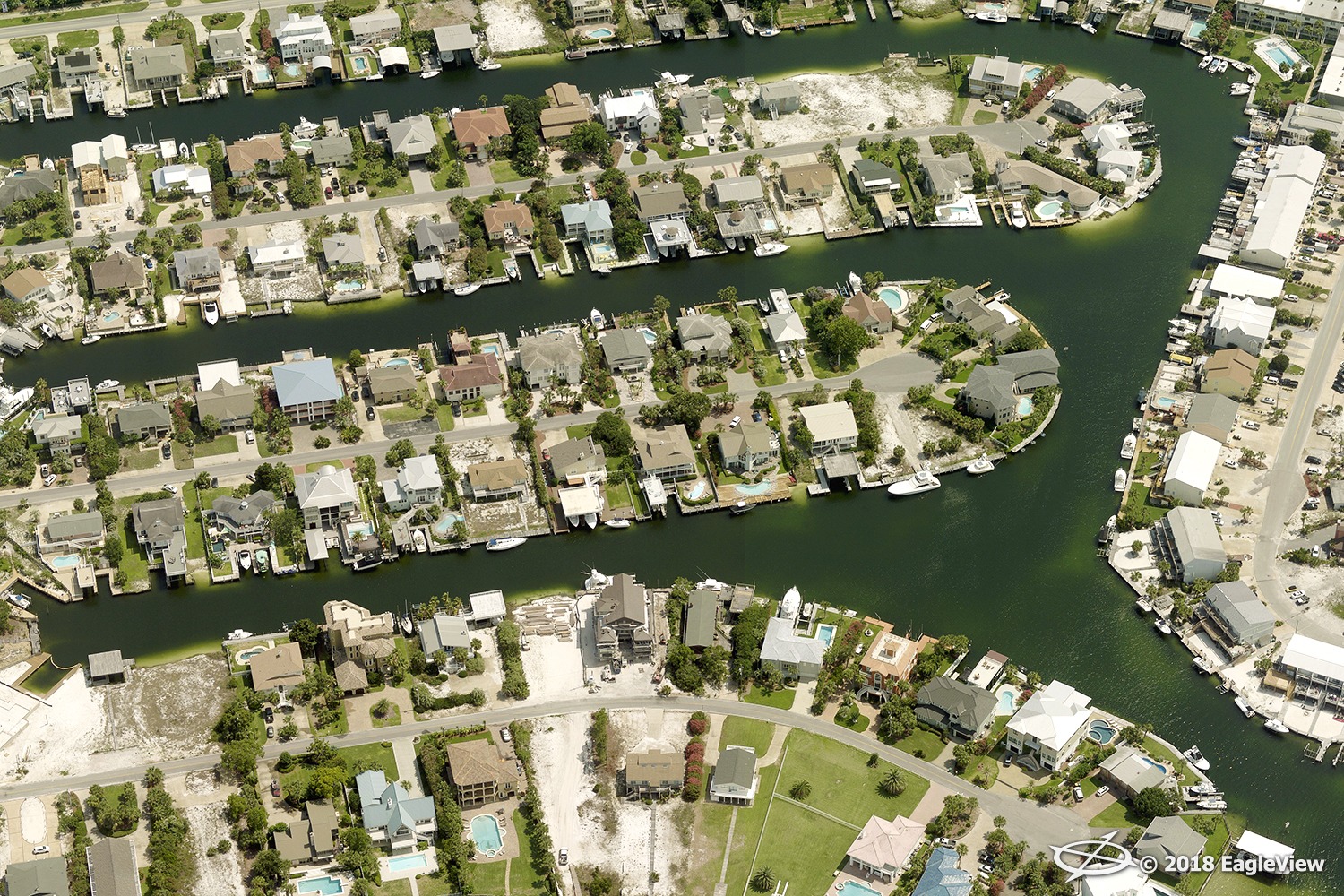
Bothell, WA (October 11, 2018) — Eagle View Technologies (“EagleView®”), the leading provider of aerial imagery and property data analytics for the government, insurance and commercial sectors, is in the air capturing ultra-high-resolution Reveal™ imagery at .75-inch ground sample distance (GSD) in response to Hurricane Michael, which was rated a Category 4 event when it initially made landfall. Permitted into the airspace by the Federal Aviation Administration (FAA) early Thursday morning, EagleView’s pre-staged CAT response fleet began capture approximately 17 hours after the storm touched down on the Florida Panhandle.
With access to a data library comprising more than 400 million aerial images, EagleView’s customers in insurance, local government and electric utilities can analyze pre- and post-event imagery to gain a complete understanding of the storm’s impact. Customers will have access to this newest post-event imagery within 24 hours of capture on CONNECTExplorer™, EagleView’s imagery viewing and analysis platform.
See sample imagery now.
“We work very closely with air traffic control centers throughout the United States and are alerted immediately once we are granted access into the airspace,” stated EagleView COO Jay Martin. “This relationship not only ensures that we are the first to fly but also enables us to respond to our customers as quickly as possible.”
The CAT response fleet at EagleView’s disposal contains both fixed-wing aircraft and unmanned aerial systems (or drones), enabling capture of the areas of interest from multiple perspectives. By activating multiple image capture resources, EagleView’s customers can gain an in-depth understanding of what’s on the ground without needing to set foot in potentially dangerous areas.
“Our number one mission is to ensure that our customers’ needs are met,” Martin stated. “Because we closely monitor the storm and are first to capture imagery, our customers receive the crucial answers they need without putting themselves in danger.”
EagleView will continue its response until all areas of interest have been captured.
For more information about EagleView’s post-event capture process and machine learning capabilities following Hurricane Michael, please contact Melissa Mazurek at melissa.mazurek@eagleview.com or (585) 444-2504.
About EagleView
EagleView is the leading provider of high-resolution aerial imagery, property data analytics and structural measurements for government agencies, insurance carriers, roofing contractors and energy utilities. Using patented image capture techniques, 3D aerial measurement software and machine learning processes, EagleView helps customers answer questions related to millions of properties throughout the world. With a 60-petabyte library of oblique and orthogonal Pictometry® aerial imagery dating back to 2001 and the capacity to process tens of thousands of roof measurement reports per day, EagleView enables organizations to reduce field visits and adopt faster, safer and more cost-effective workflows. For more information, contact (866) 659-8439 or visit www.eagleview.com.
