November 6, 2018
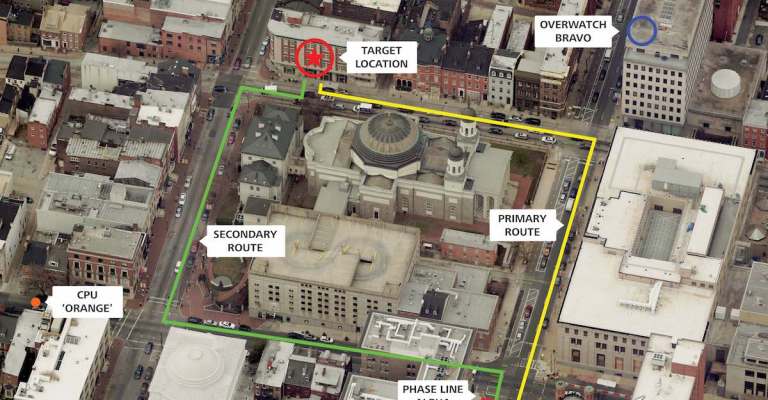
Trajectory: The Value of Oblique Imagery
Most government agencies are aware that they can see a top-down (orthogonal) view with aerial imagery. However, this perspective is limiting and doesn’t enable users […]
Most government agencies are aware that they can see a top-down (orthogonal) view with aerial imagery. However, this perspective is limiting and doesn’t enable users […]
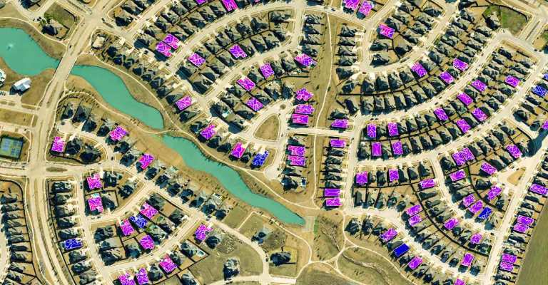
With data analytics becoming more sophisticated each day, the need for fast processing becomes more urgent. Shay Strong, Director of Data Science and Machine Learning […]
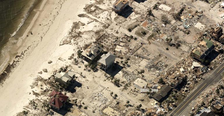
Hurricane Michael may have passed, but residents of Florida, Georgia, Alabama, and the Carolinas are still grappling with the storm’s aftermath. The effects of Hurricane […]
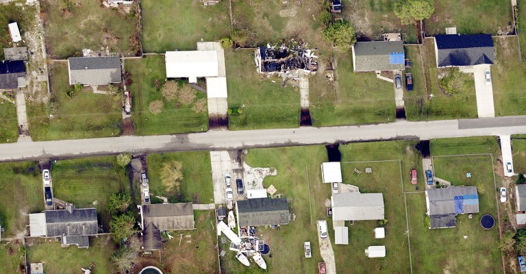
Eagleview is staging fixed-wing aircraft to be ready to fly in the aftermath of Hurricane Michael. The storm has been rated a Category 4 and could […]

Partnership to significantly expand drone network for remote claims inspections and fully enable virtual desk adjustments for P&C carriers PrecisionHawk Inc., a leading provider of drone […]

American City & County highlighted technological solutions for geographic information systems by talking to Robert Locke, Senior Vice President of Government Solutions at Eagleview. In […]

After a series of sudden tornadoes swept through Iowa two weeks ago, Eagleview was prepared. Eagleview’s storm response team, based out of the Rochester office, […]

In June, U.S. Senators Maria Cantwell of Washington and Bill Cassidy of Louisiana introduced the Coding Opportunities and Development for Equitable Students Act, or the High School […]
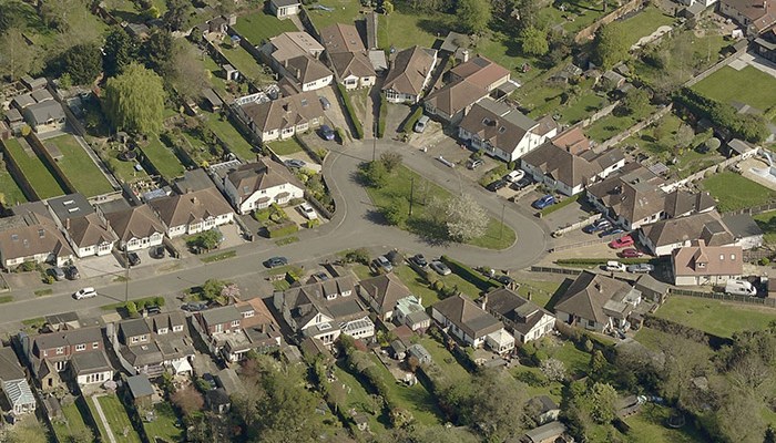
What could technology do for your roofing business? Kay Rose, National Sales Director in the U.K. for Eagleview, poses this question in the latest issue […]

This week, Eagleview announced its plans to acquire Spookfish, an Australian listed public company focused on the development and commercialization of premium next generation geospatial […]