December 8, 2017
PSCOnline: The Connected PSAP
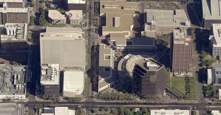
Recently, Eagleview had the chance to talk to Dave Eaton, the GIS Manager for Maricopa Region 911 in Maricopa County, Arizona. We shared his story […]
Recently, Eagleview had the chance to talk to Dave Eaton, the GIS Manager for Maricopa Region 911 in Maricopa County, Arizona. We shared his story […]
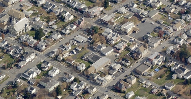
Carbon County, Pennsylvania, commissioners have approved the use of Pictometry® imagery from Eagleview. The move will help property assessors add property to the tax rolls. The […]

Delaware County, Pennsylvania, is gearing up for a busy reassessment season. In fact, “busy” may be an understatement.County courts have ordered the reassessment of all […]

This year, Eagleview received a patent for an automated drone flight path around a structure. Eagleview President Rishi Daga sat down with CLM Magazine to explain how this […]

Eagleview recently announced its patent for drone property inspections. On April 4, 2017, the United States Patent & Trademark Office (USPTO) granted Eagleview Pat. No. […]

Wilkin County, Minnesota, is bringing geographic data and Pictometry aerial imagery from Eagleview to its citizens. The county first made its Mapping and GIS Hub […]

Kenneth Cook, Senior Vice President of Eagleview OnSite Solutions at Eagleview, will be joining a panel of experts for a webinar from A.M. Best and […]

Eagleview now integrates with the Symbility application for the insurance industry. The integration gives Symbility customers access to more than 350 million aerial images from […]

Following Hurricanes Harvey, Irma, and Maria, insurance carriers have their hands full. By working with vendors that use drones and fixed-wing aircraft to assess structure […]

The aerial imagery and property data provider has captured more than one million images in a single week throughout the state of Florida. Bothell, WA […]