January 11, 2018
RCI: SPRA Welcomes Eagleview as First Affiliate Member
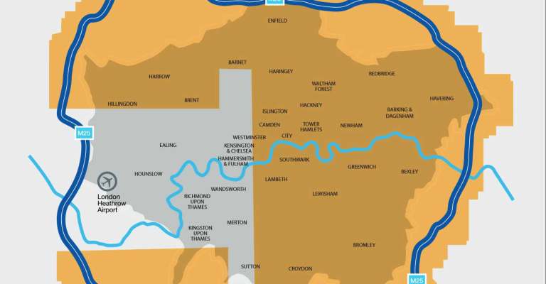
We’ve gone across the pond! Eagleview has launched in the United Kingdom and is now offering roof measurement reports within the Greater London area. The […]
We’ve gone across the pond! Eagleview has launched in the United Kingdom and is now offering roof measurement reports within the Greater London area. The […]
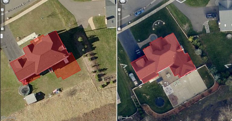
Updated June 2018 Luzerne County, Pennsylvania is home to Wilkes-Barre, the fourth largest city in Pennsylvania. But with nearly 900 square miles of land, the […]
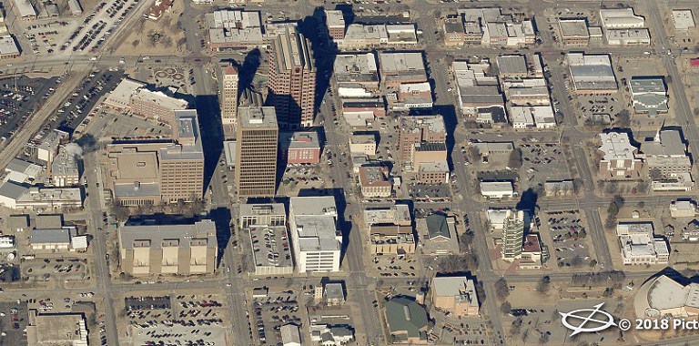
Washington County, Oklahoma, will soon get a whole new view of its properties, according to Bartlesville Radio. The county will use Pictometry imagery from Eagleview […]
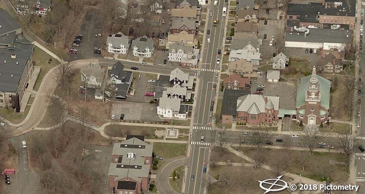
Naugatuck, Connecticut, has been in the process of revaluation since August. The state of Connecticut requires towns to perform a fully physical revaluation of commercial […]
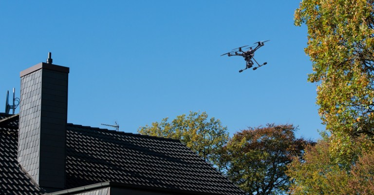
With Hurricanes Harvey, Irma, and Maria occurring one after the other in 2017, insurance companies sped up claims using new technology. Because the three storms […]
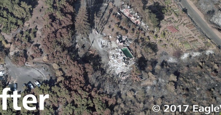
High-resolution aerial imagery of damaged areas, paired with artificial intelligence, enables rapid response Bothell, Wash. (December 21, 2017) – Eagle View Technologies (“Eagleview®”), the leading […]
Pre- and post-wildfire imagery allows insurance companies to respond more quickly to areas of severe damage Bothell, Wash. (December 19, 2017) – Eagle View Technologies […]
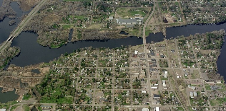
Leaders in Pine County, Minnesota, have approved the use of Pictometry® aerial imagery from Eagleview for 2018. The county last used Pictometry imagery in 2011. […]
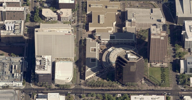
Recently, Eagleview had the chance to talk to Dave Eaton, the GIS Manager for Maricopa Region 911 in Maricopa County, Arizona. We shared his story […]
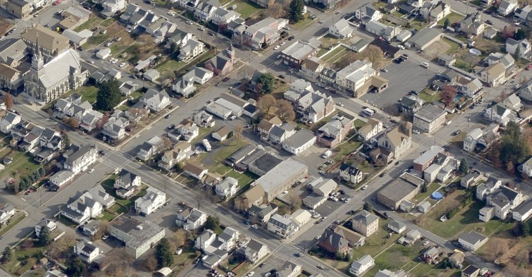
Carbon County, Pennsylvania, commissioners have approved the use of Pictometry® imagery from Eagleview. The move will help property assessors add property to the tax rolls. The […]