Building Community—and New Roofs—in Toledo with Habitat for Humanity
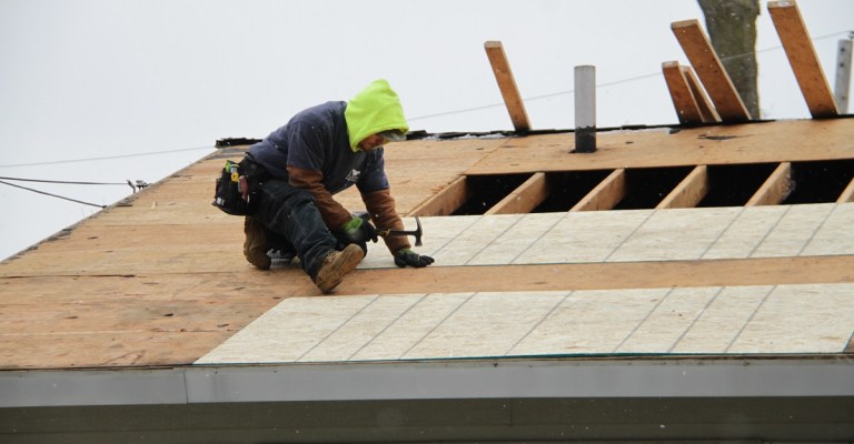
When the City of Toledo realized just how many roofs were in disrepair in the City – 15,000 – and that residents couldn’t afford to fix them, they wanted to do […]

Piers Dormeyer, Vice President of Construction Sales at Eagleview, has some advice for roofers who want to make sense of technology. While adopting a new […]
Milestone signals continued market leadership in property data and aerial imaging services Bothell, Wash. (March 14, 2018) – Eagle View Technologies (“Eagleview®”), the leading provider of property intelligence for the […]
Mohave County, Arizona, recently implemented Pictometry® imagery from Eagleview in its assessment office. County Assessor Jeanne Kentch wrote about the solution, as well as other […]
When responding to any kind of incident, public safety professionals need to know the quickest and safest route there. Yet larger buildings, like schools, often […]
Washington County, Oklahoma, assessor Todd Mathes spoke to the Bartlesville Examiner-Enterprise about what’s going on in his office. In the interview, he discusses new time-saving […]
Eagleview made Insurance Thought Leadership’s list of 10 insurance technology companies (or “insurtechs”) that can save insurance carriers money. Insurance carriers can potentially lose money […]
The In the News category on the blog reflects the press coverage Eagleview receives. In this roundup, hear from Eagleview CEO Rishi Daga and see […]
Eagleview recently announced its expansion to the United Kingdom along with its membership in the Single Ply Roofing Association (SPRA). This month, Eagleview appeared in […]
The Louisville/Jefferson County Information Consortium (LOJIC) serving the Louisville Metro and Jefferson County areas. This spring, they will acquire new aerial imagery and updated GIS […]