November 6, 2018
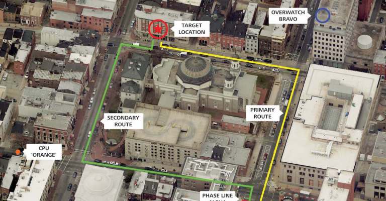
Trajectory: The Value of Oblique Imagery
Most government agencies are aware that they can see a top-down (orthogonal) view with aerial imagery. However, this perspective is limiting and doesn’t enable users […]
Most government agencies are aware that they can see a top-down (orthogonal) view with aerial imagery. However, this perspective is limiting and doesn’t enable users […]
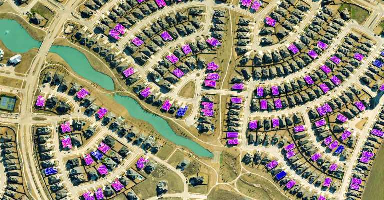
With data analytics becoming more sophisticated each day, the need for fast processing becomes more urgent. Shay Strong, Director of Data Science and Machine Learning […]
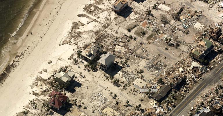
Hurricane Michael may have passed, but residents of Florida, Georgia, Alabama, and the Carolinas are still grappling with the storm’s aftermath. The effects of Hurricane […]
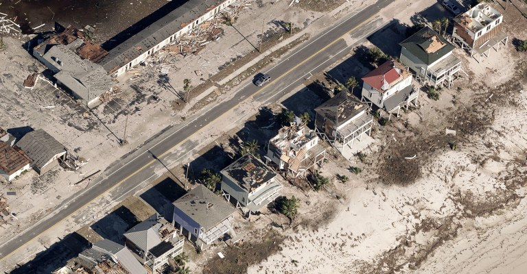
Advanced machine learning technology applied to pre- and post-event imagery reveals damage after the storm Bothell, WA (October 15, 2018) – Eagle View Technologies (“Eagleview®”), […]
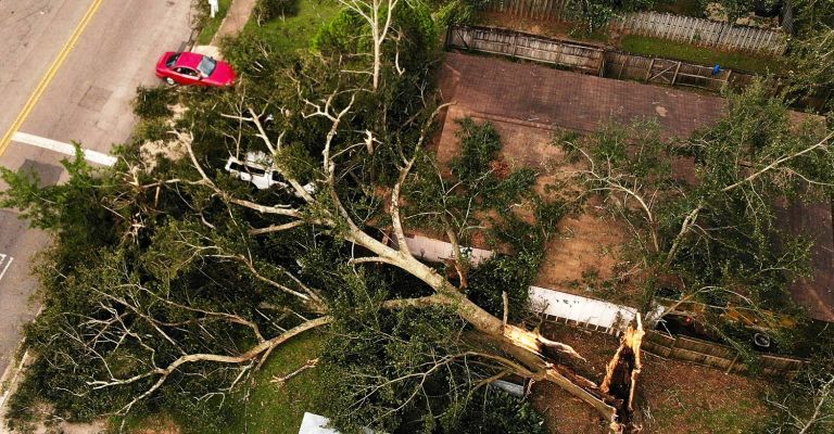
Ultra-high-resolution aerial imagery from Eagleview reveals post-storm damage Bothell, WA (October 12, 2018) – Eagle View Technologies (“Eagleview®”), the leading provider of property intelligence for […]

Technology leader has begun post-event, ultra-high-resolution aerial imagery capture Bothell, WA (October 11, 2018) — Eagle View Technologies (“Eagleview®”), the leading provider of aerial imagery […]
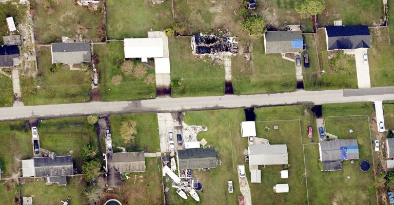
Eagleview is staging fixed-wing aircraft to be ready to fly in the aftermath of Hurricane Michael. The storm has been rated a Category 4 and could […]

Flight assets staged to capture imagery surrounding high-impact areas Bothell, WA (October 10, 2018) – Eagle View Technologies (“Eagleview®”), the leading provider of aerial imagery […]

Pre- and post-event imagery, augmented by machine learning technology, yields important information regarding hurricane’s impact Bothell, WA (September 20, 2018)– Eagle View Technologies (“Eagleview®”), the […]
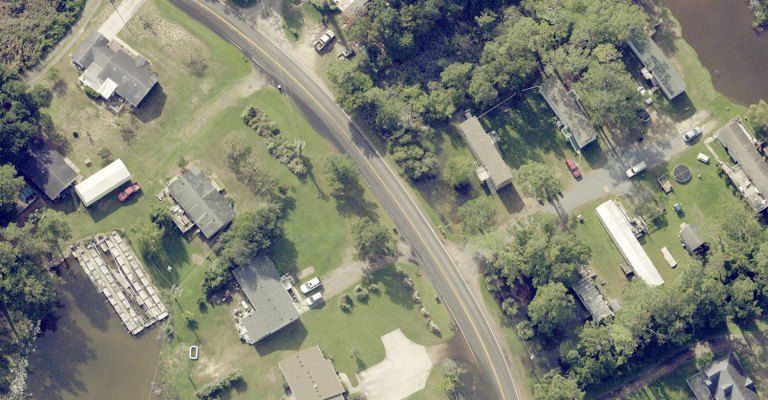
Leading property analytics provider flying damaged areas to aid in storm response Bothell, WA (September 18, 2018) — Eagle View Technologies (“Eagleview®”), the leading provider […]