Now Available:
EagleView Cloud
High-Resolution, Frequent Aerial
Imagery for Informed Decision-Making
Applications for Every Industry
Architecture, Engineering, and Construction
Inspect sites remotely from all angles for expedited project cycles.
Government
Improve efficiency with remote insights for property assessment, public safety, GIS and other departments.
Real Estate
Generate high-impact marketing collateral and assess properties remotely with aerial imagery and location insights.
Solar
Identify roof obstructions and determine roof access points and material staging areas.
Telecommunications
Access detailed site imagery remotely for efficient field operations for cellular towers, broadband and fiber planning, and infrastructure maintenance
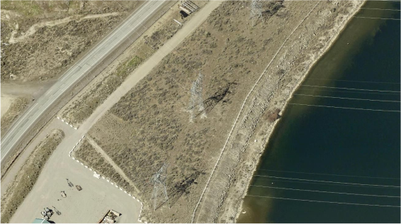
Utilities and Infrastructure
Pinpoint and mitigate vegetation encroachment risks to utility transmission lines.
Coverage and Clarity for Better Imagery and Insights
EagleView Cloud is a one-stop shop for people who need access to data and intelligence derived from high quality and frequently captured aerial imagery to make better decisions. With solutions for Government, Roofing, Solar, Insurance, Infrastructure, and Property Intelligence providers, this subscription-based service delivers both recency and coverage to enable data-driven decisions and power business growth.

With EagleView Cloud You Can:

See Critical Site Details with Clear Imagery
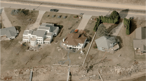
EagleView Cloud includes multiple resolution options ranging from 1-inch to 6-inch GSD, with both top-down and oblique aerial imagery to view sites from all angles. Inspect thousands of sites virtually, and reduce costly field visits and on-site verification.
Get Coverage You Can Count On
Our imagery covers 94% of the United States population, with some areas updated as often as two times per year. Our expansive image database contains more than 1 billion images, plus decades of image archives for change detection and management.


Put Property Data to Work
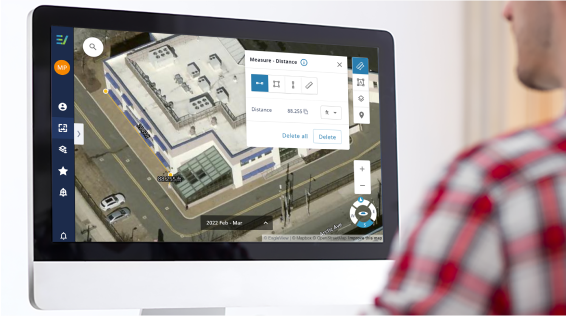
EagleView’s high-resolution aerial imagery underlies our gold-standard property reports and site data sets. Our powerful web-based image viewing applications and software integrations give you the tools and data you need to work efficiently and remotely without sacrificing accuracy.
