
August 6, 2015
Commercial Architecture: The Future Looks Bright with Drone Technology
UAS, UAV or drone? All of these names describe an unmanned aircraft, but which is universally accepted? Most use the term drone, which can refer […]
UAS, UAV or drone? All of these names describe an unmanned aircraft, but which is universally accepted? Most use the term drone, which can refer […]

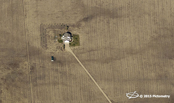
The 2015 calendar showcases twelve of our team’s favorite Pictometry images out of more than 28 million captured in the 2013-2014 image season. The August […]

By Heidi Ellsworth, EVP marketing and Karen Edwards, marketing director In the first Marketing Makeover column, we began to share ideas, strategies and samples from […]

American Electric Power (AEP) is a large electric utility serving 5,000,000+ customers across 11 states. Learn how AEP’s Distribution Engineering and Rights of Way groups […]
Larimer County, Colorado leveraged Pictometry technology to aid in emergency response and damage assessment following an 80,000 acre wildfire and an historic flooding event. Much […]
(Bothell, Wash., July 8, 2015)— EagleView Technology Corporation, a leading technology provider of aerial imagery, data analytics and GIS solutions, announced that its wholly owned […]

Lexington County, South Carolina, began using Pictometry in December of 2006. Since then Pictometry has flown five different times, collecting both ortho imagery as well […]

The 2015 calendar showcases twelve of our team’s favorite Pictometry images out of more than 28 million captured in the 2013-2014 image season. The July […]

Throughout the disaster lifecycle, public safety professionals and emergency managers are in a constant race to enhance situational awareness and build a common operating picture […]

Scheduled the day before FutureView begins, this invitation-only Technology Summit is hosted by Frank Giuffrida, Pictometry Executive Vice President of Engineering, and sponsored by Blue […]